STAGE 15 – ABBEY VILLAGE to WHITTLE-LE-WOODS
8 miles – 3 hours walk.
756 feet climbed – highest point 700 feet – Pike Low
Two small climbs with some good panoramic views. Lots of fascinating history including the final parts of the completion of the Leeds and Liverpool and its relationship with the Lancaster canal!!
A map of Stage 15 can be found below courtesy of Ordnance Survey maps. You can subscribe yourself using this link, https://osmaps.ordnancesurvey.co.uk, which will enable you to import the GPX file which can be downloaded below.
Download file for GPS
To download the GPX file for this stage click on the link above.
ROUTE DESCRIPTION
From the Hare and Hounds Pub, cross the main road and continue along through the settlement of Abbey Village. The name apparently comes from its links with Whalley Abbey – there was a secret track from the Hall at nearby Brinscall to the Abbey. The majority of the village is built along the main road, with uniform terraced housing which was built for workers of the large Mill (built in 1840 and closed in 1970), which can be seen set back from the road on the west side.
At the end of the line of houses look out for the Withnell Nature Reserve site sign and turn left, past the old Railway station on your right until you find the entrance to the Reserve. There is an information point just beyond this explaining the origins of the path that we are about to follow – the cutting was once occupied by the Chorley to Blackburn railway – a 8.5 mile stretch of railway built and opened in 1869 to carry coal from Wigan, directly to Blackburn, without the need to go via Preston. It also served the mill at Abbey Village and a quarry and brickworks at our next destination of Withnell. Unfortunately it was closed in 1960.
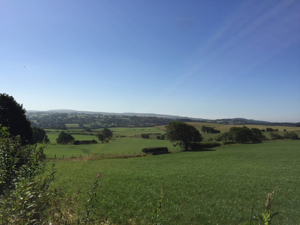
Follow the trail, with information boards re wildlife, until just after the second bridge, when you should take the path on the right that leads up into the village of Withnell. Turn left up the main road, past the primary school, looking out for a track on the left with a footpath sign, just before the church further up on the right. Pass the mast and then look out for a stile and path shortly afterwards on the right. In the field, the path follows the boundary fence on your right to another stile and then in the same direction over a couple more stiles until you reach the corner of a coppice on top of the hill. There are some great views here both back south to the West Pennines and north to the Bowland Fells.
Cross over the stile and follow the boundary with the coppice until you come to a house. Follow the lane down the hill until you meet the main road. Cross the main road into Withnell Fold – which is named after the village that you will enter shortly.
Withnell Fold has an interesting history – see www.boydharris.co.uk. The following is an extract from this.
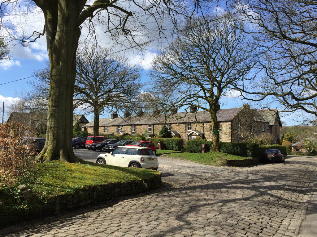
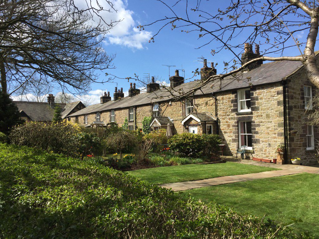
Withnell Fold, a model village and paper mill , were built on a green-field site in 1843. The owner and builder was Thomas Blinkhorn Parke (1823-1885), the son of Robert Park, a local cotton mill owner. The houses in Withnell Fold had gardens and outside toilets.
The mill was started in 1843 and opened and began production on 15 January 1844, with one machine. Three years later a second machine was installed and the business was so successful that a third machine was installed in 1855. The machines were known as “74”, “66” and “60”, the widths of the paper produced. The quality and variety of the paper improved and in 1849 tissue paper was made, followed in 1856 by coloured tissue. Writing papers were introduced in 1863 and had a reputation for being of the finest quality. Cartridge paper came in 1878. The mill supplied newsprint for Preston, Bolton and Liverpool newspapers. The firm continued as a family concern until 1890 when it combined with Wiggins Teape & Co., an old established firm of stationers. Although the merger did not take place until 1890 the mill had supplied paper to Wiggins and Teape from 1847 and in an old diary kept by Mr. T. B. Parke there’s an entry for February of that year which reads “Am now making double cap ordered by Wiggins & Teape”. Withnell Fold Methodist Church was built by Thomas Blinkhorn Parke in 1852 as a day school and chapel combined. It was opened on 13 June 1852 by Revd Joshua Priestly. Two days later Miss Dutton of Coventry arrived to take up the post of schoolmistress. By 1897 the school was too small so Herbert Thomas Parke, son of Thomas, built a new school by the village square. This is now Withnell Fold Primary School. By the entrance to the school is a sculpted tree which represents Thomas Blinkhorn Parke, the village’s founder.
In the village there are two terraces of pretty cottages on your left. Look out for No 1 with an Acorn on the apex of the roof, Reading room next door, Methodist church and remembrance gardens. Also part of the tunnel that carries water from Haweswater in the Lakes to Manchester can be seen here.
Continue down through the village – unfortunately the mill has not survived as well as the cottages and is a little bit of an eyesore in parts, with lots of unrepaired cars. At the bottom of the road is our old friend the Leeds Liverpool canal. Cross over the canal. Take a short while to investigate the filter beds and look out for deer here – I saw one!
Turn right along the canal towpath and then follow the cobbled path to the left after a few yards into the valley and back up the other side. Cross over the stile and then follow the path, which is not always clear, but it continues adjacent to the boundary fence on your left.
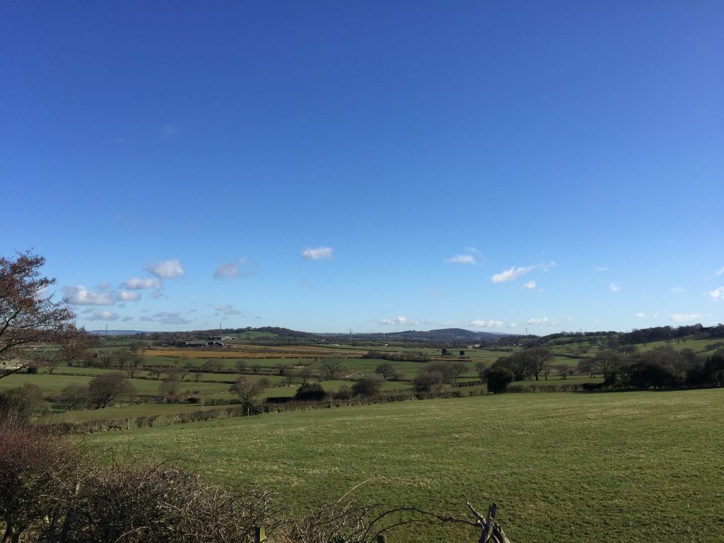
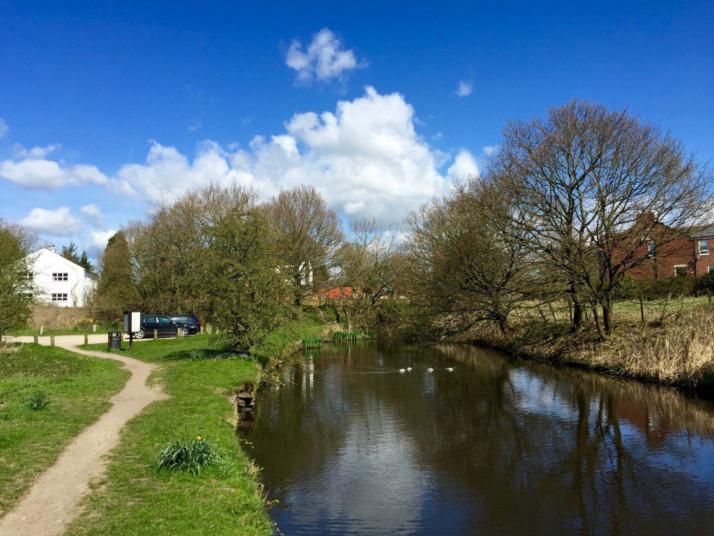
If you look north from this point you will see what was apparently a lake at the end of the last Ice Age – see photograph above. This drained down the valley that we have just crossed and which the canal follows. Keep following this over a number of stiles until you come to a road. Turn left and follow this to the T-junction. Turn left and before long you reach Top o’th’ lane – an outlier from the village of Brindle.
At the end of the row of houses take the small track on the right and then through a gate by the wall. At this point look for the distinctive plaque referring to the Brindle Workhouse, which stood on this site for many years.
Brindle workhouse was originally set up by the parish, using a small, converted, catholic ‘mass house’ that had been confiscated from the Gerrard family after the 1715 rebellion of Lancashire Catholics. By 1745, the overseers had contracted with 15 other parishes to take their poor off their hands for a fee, and a ‘large, roughcast edifice’ had been constructed to house them. The number of paupers in the workhouse continued to expand until by the early 1800s 80 townships were recorded as sending their poor there – ‘a general receptacle for pauper lunatics and the idle and refractory poor’. At its peak, Brindle workhouse housed between 200 and 300 paupers in harsh and wretched conditions and despite a number of scandals and attempts to have it closed down by local Magistrates of the Peace, it remained in operation and was eventually, reluctantly absorbed into the Chorley Poor Law Union in 1843.
Conditions improved somewhat – “inmates…, to the number of 111, were on Christmas Day made the objects of the kind benevolence of the Guardians of the Poor … The humble party expressed their strongest sense of respect and thankfulness to the kind donors by whose bounty their hearts had been so gratefully gladdened.” Despite this, conditions were still harsh and Brindle workhouse made the national press at least twice in the late 1850s and ’60s, with sensationalized accounts of brutal deaths that resulted in prison sentences for workhouse staff. Even in its last decade there were records of inmates “being restrained by leg locks …. preventing his escape over the walls.”.
The workhouse closed over the Christmas break at the end of 1871, with the paupers being transferred to the new workhouse at Eaves Lane in Chorley. Much of the stone seems to have been sold off, though it was possibly the biggest building in the parish for much of its 150 years’ existence.
The workhouse site took in the ‘pen’ at the end of Top o’ th’ Lane cottages and the ‘paddock’ behind it, and held a large building – originally probably cross shaped but seemingly replaced around 1844 by a larger, more complex, ‘J’ shaped building. Of the few remaining buildings, it is possible that part of a house over the road may have been the original ‘mass house’ and the one remaining building on the main site could be the workhouse’s ‘dead house’, where the bodies of paupers would have been stored waiting to be buried in the various nearby churchyards.
Continue along the track, which bears left at the top of the hill. Pass through a gate and look for a kissing gate just before the road by Holt Farm. Follow the path to access Denham Hill quarry – another Millstone Grit quarry, with a quarry face of many metres thickness. At the end of the path you will come to small car park back on the road and an information point describing the geology behind the quarry. Turn left onto the road and continue to the T-junction.
Turn right and stop at the junction of Birchin Lane and the bridge over the M61.
At this point I must apologise as the route becomes a little convoluted with a detour of about 2.5 miles, one hour’s walk, to explore another aspect of the Leeds and Liverpool canal.
However, if you do not have time then cross the bridge over the M61 motorway. Having crossed the motorway turn left and follow the lane to the bottom of the hill. Before following the road around a bend to the right look into the valley to your left to try and see the course of the southern end of the Lancaster canal – now largely filled in or built upon. Follow the road around to the right and look out for the lane with a footpath sign on your left. You can now pick up the directions further below avoiding my detour!!
My detour takes us to Johnson’s Hillock and the point at which the Leeds and Liverpool canal joined the Lancaster by a serious of seven locks, before making our way back to Whittle Hills. If you remember from our last three visits to the Leeds and Liverpool canal:
- The Leeds and Liverpool canal at Withnell Fold was built sometime between 1810 and 1816. The canal had reached Blackburn to the north in June 1810 but still no decision had been made as to how it would link with the western section to Liverpool. There were even plans to build a second canal to Wigan on a similar parallel course and also an option to push directly on to Bolton via Red Moss to both link up with Manchester and to make its way around to Wigan. However, finally common sense prevailed and agreement was reached between the two canal companies. The Leeds Liverpool gained by reducing its outlay and the Lancaster now had a guaranteed source of water from the upper reaches of the Leeds Liverpool. This southern section of the Lancaster Canal had suffered from low water levels during some summers limiting the amount of cargo that could be carried. Indeed an important source of water before this was from coal mines!!
- The Section of canal from Haigh to Adlington, which we walked in Stage 10, was completed in and around 1795 to 1799. At the time this was the southern section of the Lancaster Canal and ended at Johnson’s Hillock, which we will arrive at soon. The Northern section from Preston to Tewitfield (near Carnforth north of Lancaster) was opened in November 1797. This was eventually extended to Kendal as originally planned in 1819. So there was an uncompleted section of canal between these two points but the Canal in true fashion had run out of money mainly due to the expensive Lune aqueduct. So in 1800 a further Act of Parliament approved the raising of £220,000 to build five miles of tramline from the Ribble at Preston to Walton Summit (near Bamber Bridge) and then three miles of canal from Walton Summit to Johnson’s Lock to join the already completed sections. We have already seen the replica Tramway Bridge across the River Ribble on Stage 1 and we will shortly be returning into Preston by that same Tramway. The three mile section of canal was not without its difficulties and in particular it had to make its way through Whittle Hills, which we will see shortly. John Rennie, the famous engineer, then also employed by the Lancaster canal, achieved this by way of a tunnel of approximately 250 metres long. This subsequently collapsed and in 1838, this was split into two shorter tunnels which we will be able to see shortly. This final phase was completed in 1803, whilst to the north the Leeds Liverpool had not yet reached Blackburn!
- During stage 9, we walked the section of the 23 locks from Wigan Pier to Top Lock near Kirkless Hall. This section was completed in 1816 and I believe was the final section to be completed. However, the seven locks here at Johnsons Hillock were also completed in 1816, but earlier in the year in the month of June as the final part of the push southwards through east Lancashire from Yorkshire, which had first begun in 1770 ie 46 years earlier!! On the 19th October 1816, two barges set off from Leeds to Liverpool, which was reached just four days later. Eventually the southern section of the Lancaster canal was taken over by the Leeds Liverpool.
The detour begins by turning left into Birchin Lane and following this down to Denham Springs and then up the other valley side until you reach another “Top Lock” with a pub of the same name.
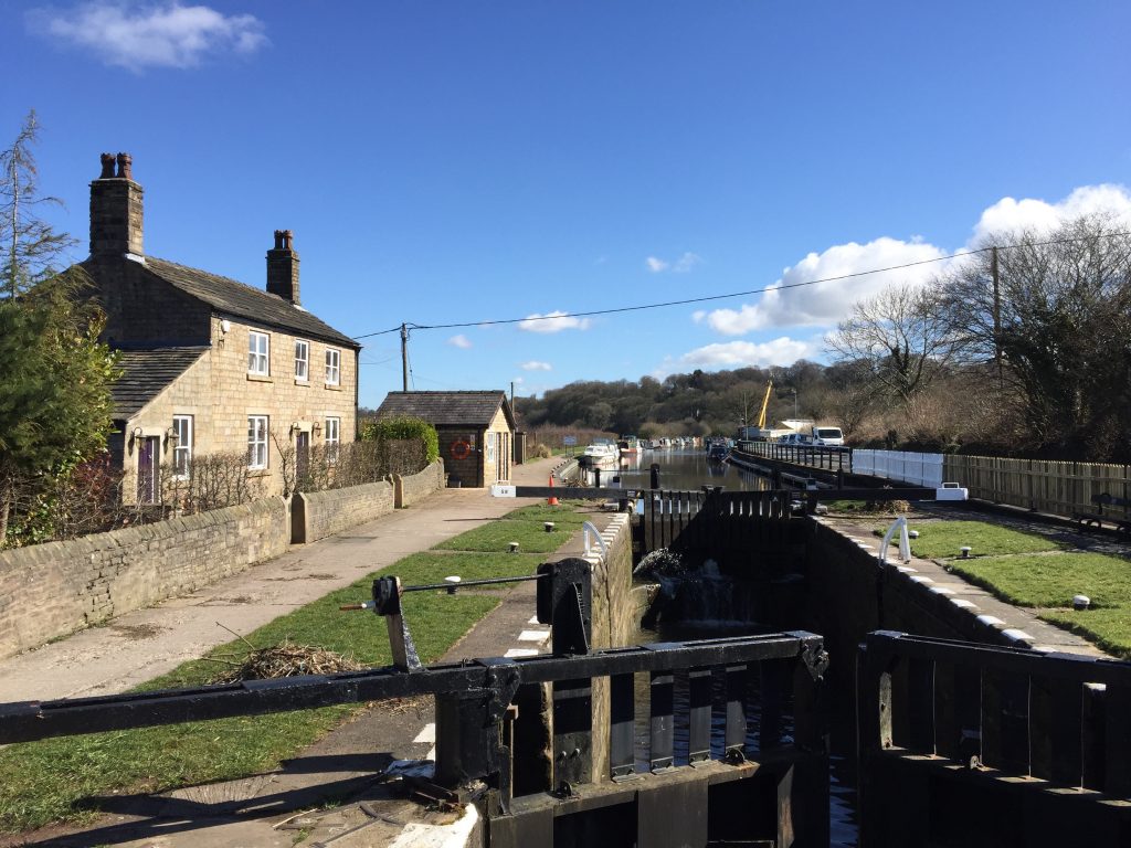
Join the canal tow path, on the west side, and proceed SW down the seven locks, which were required to bring the height of the canal down to that of the Lancaster.
When you reach the last lock look for a bridge over another branch of the canal, which runs back in a northerly direction – this is the remains of the first part of the three mile extension of the Lancaster canal to Walton Summit.
Continue north along the side of this canal. Unfortunately, it ceases after a few hundred meters and ends abruptly by a car park and road.
Join the road and turn right. After the sharp bend look out for the lane on your left and take this past a row of very pretty cottages – canal cottages? After a short distance look out for the path on your left, just before entering a private property. Take the stile on your left, enter the field and then exit the field by another stile on your right, which takes you up on to a ridge, which is the remains of the canal. Follow this in a northerly direction, over a stile and then you come across the M61. Turn right and keeping the M61 on your left descend into the valley below. On your left you should be able to see the concrete pedestrian tunnel, which takes you under the motorway. Be sure to have a torch with you or the flashlight on your phone working as the tunnel is quite long!!
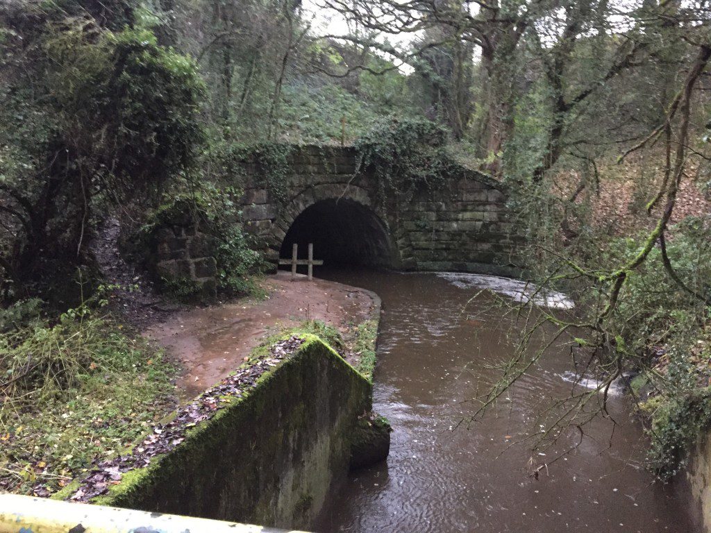
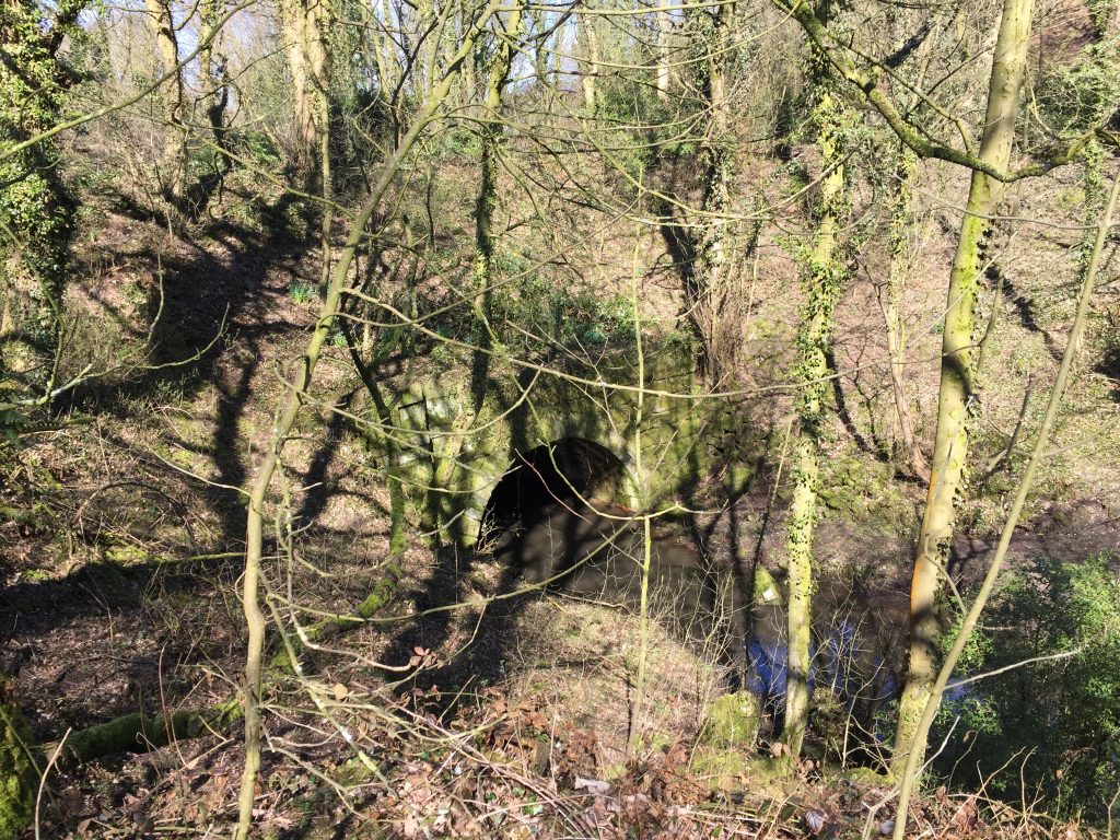
When you come out of the other side you will see one of John Rennie’s aqueducts immediately ahead, which takes the Lostock River underneath the remains of the Lancaster canal.
Make the short climb out of valley. At the top, to your left ,you will see the filled in remains of the canal, abruptly truncated by the M61 further on! Make your way behind the properties, then turn right to join the track, which leads to the lane which the shorter alternative route took. Turn left and then follow the road around to the right. If you now look to your left you can see the line of the canal with the cutting through the land. On your left you will see a lane with a Footpath sign, take this, which actually goes over one of the tunnels.
For anybody that still wants to see a final part of the canal you can take a short 10 minute detour before coming back to this point and continuing with the walk proper. If you continue up the road, and after the quarry entrances, look for a path on your right, which takes you down to the remains of the canal and then to a bridge with a plaque commemorating the opening of the Whittle tunnels in 1803. Go under the bridge and you find yourself on a play area, which is actually the remains of a docking area. The canal then turned through ninety degrees and headed north to Walton Summit. Unfortunately little of this stretch remains with the building of the M61 destroying much.
Retrace your steps and descend the track until you reach one or two properties and take the path to the right after the last property on your right. Follow the path up the side of the hill with good views across to your left of the West Pennines. At the top of the hill the path comes into the village of Whittle-le-Woods, and can be a little difficult to follow. Please, however, do just go straight on, initially through a gap in a wall onto the gravelled drive of Carwood Farm, onto Carwood Lane, through a ginnel and then past the Community Hall/Club and then on to Chorley Old Road. This is actually the original route of the A6 London to Preston road and used to have 22 pubs along this stretch of road for the many weary travellers. Continue straight across the road and pick up a cobbled path down the hill to the new A6.
END OF STAGE 15
The best accommodation can be found in north Chorley just 2 miles away along the A6 i.e. Chorley North Premier Inn and the Hartwood Hall Hotel. Buses do run along the A6 to Chorley.
Click here to go straight to Stage 16
CIRCULAR/DAY WALKS
It is difficult to complete the entire Stage in one walk. The best way is to park on the main road in Abbey Village or on Dole Lane opposite the Hare & Hounds Pub. Walk the entire Stage. Then catch Bus Service 125 (every 10 minutes) from opposite St John’s church on the A6 into Chorley. Change buses at the Interchange and catch Bus Service 24 back to Abbey Village – these currently run every hour at 8 minutes past the hour.
For an excellent circular walk taking in most of the Stage start by parking in Withnell Fold on the road. Follow Stage 15 until you reach the M61 and Birchin Lane. Rather than heading down Birchin Lane to Lower Copthurst and Top Lock, cross the M61 and head to Whittle Hills. Then follow Stage 15 backwards, under the M61, picking up the small section of the Lancaster Canal. At the junction with the Leeds Liverpool canal head north along the latter through Johnson’s Locks and back to Withnell Fold.

