STAGE 35 – HIPPING HALL (A65) TO KIRBY LONSDALE
17 miles – 7 hours walk.
2,637 feet climbed – highest point 2,238 feet – Great Coum although it is in Cumbria!
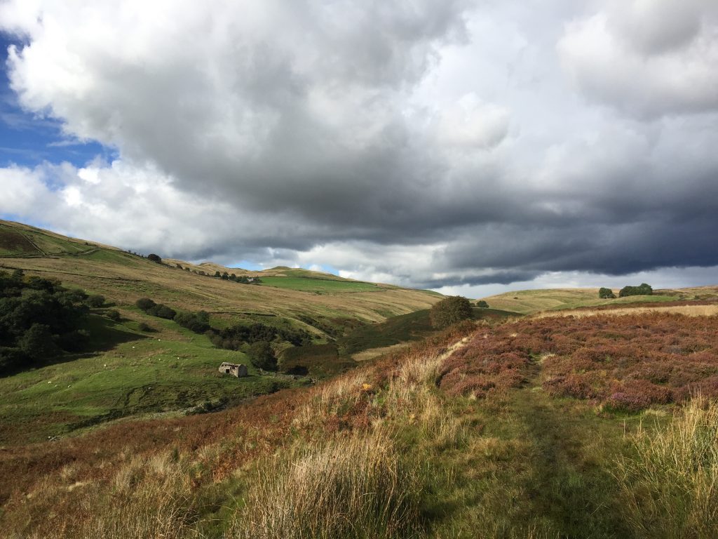
Could this be the best stage on the whole of Lancashire Way – weather permitting?? The highlight is the summit of Gragareth, the only mountain in Lancashire! The views are just amazing in all directions, but especially east with Whernside and Ingleborough of Yorkshire Three Peaks fame, almost touchable. We reach the very northern tip of Lancashire at 54 degrees 14 minutes latitude and then briefly cross into Cumbria. And then a walk along a dry riverbed, which is a sign of the huge Three Counties cave system below ground before a pleasant amble into Kirkby Lonsdale.
A map of Stage 35 can be found below courtesy of Ordnance Survey maps. You can subscribe yourself using this link, https://osmaps.ordnancesurvey.co.uk, which will enable you to import the GPX file which can be downloaded below.
Download file for GPS
To download the GPX file for this Stage click on the link above.
ROUTE DESCRIPTION
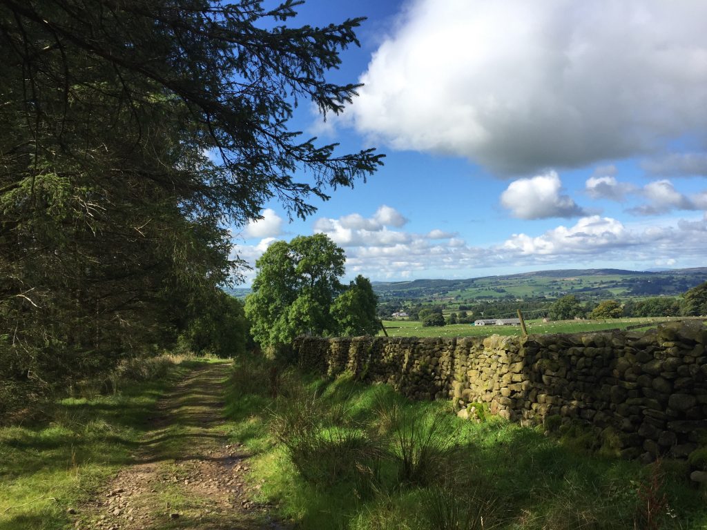
The stage begins on the A65 near Hipping Hall Hotel. Cross the road on to the northern side and turn right. Ignore the footpath sign and steps and continue along the grass verge for about 100 meters. Pick up the track on your left and follow this past the property on your right and then up and past farm buildings also on your right. Pass through the gate into a walled grassy track. Pass through the next gate and then you need to leave the track and enter the field on your left. We are heading to Todgill Farm, but the continuation of the track to this farm is not a public right of way so we need to take the footpath to the road and then use the road to get to the Farm.
The footpath is not that distinct but follows the boundary wall on your left through two gaps in two other walls then after this bears left and follows that boundary wall to road. Join the road and turn right and follow this to Todgill Farm. The road turns sharp left, passes the farm house and then look out for a track on your left, where the road turns right.
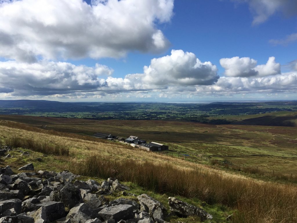
Join the track and follow this for about a mile until you come to another tramacked road. The track makes a decent path and gains some height, which gives good views back over pastures, the Lune valley and on to the coast.
At the road turn right and follow this up hill – Leck Fell – for about a mile. To our right is the hill, or more strictly, the mountain that is Gragareth. At 627m, or 2,057 feet this is indeed a mountain – the only one in Lancashire! Look out for the many cairns on top of hillside, three of which are known as the “Three Men of Gragareth”. More of these later, as we will be climbing to these shortly. Also note the limestone outcrops as we climb up the geological succession – more of this later too.
Upon approaching Leck Fell House, you may have to pass through a gate if closed, and then the road bears left down to the house. At this point on the right is a gate, which opens onto a grassy track, which continues up the valley. Pass through the gate.
At this point we need to head up the steep hillside to the right to the myriad of cairns above us. There are paths but they are indistinct in parts and it is easy to lose these as you walk. This is access land, which is not used much by walkers so the paths never really have time to establish themselves.
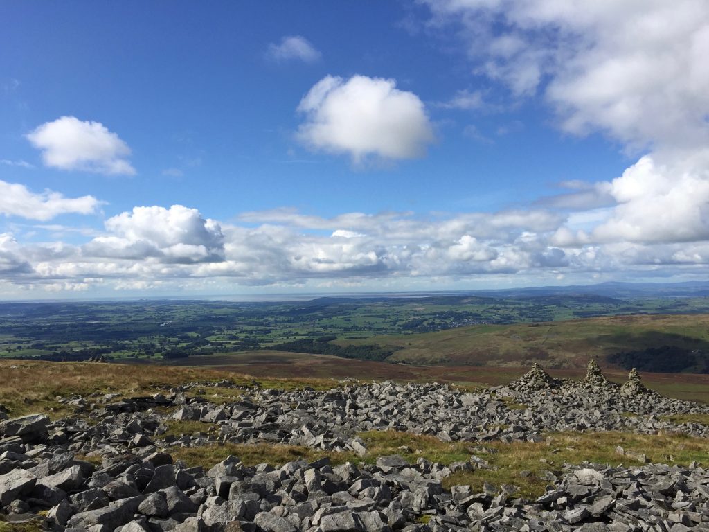
The easiest way to climb to the cairns is to turn right, when you have passed through the gate ascend the hillside keeping almost parallel with the boundary wall. You may be able to spot a guiding cairn part way up the hill. From this continue up the slope and then you should be able to see and pick up a path, which then heads north to the cairns, on a much gentler gradient. You will come firstly across two lone cairns followed by a further five (one substantial well-built cairn, a small one and then three together). I am not sure but I do not think these are the three men as a little further north are three more cairns together, which appear more substantial and I believe are therefore the Men!
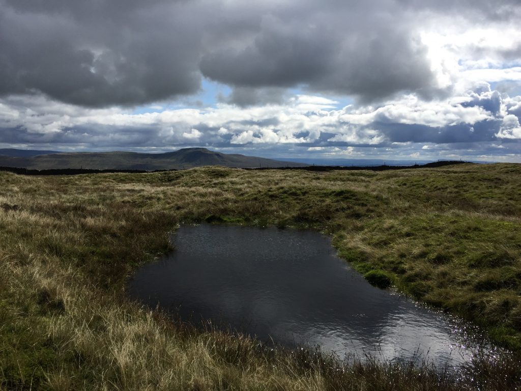
The views from the cairns are quite fantastic. The panorama is through 180 degrees from south to west to north. You can see great stretches of the Lancashire coast if the sun is shining including Blackpool Tower and Morecambe Bay, with the peaks of the Lake District to the west and the Howgills to the North.
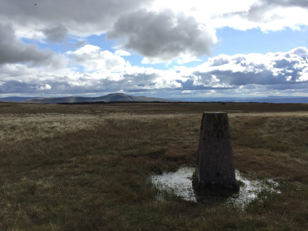
From our five cairns we need to change direction and head east up the hill to find the summit of Gragareth, which is marked by a trig point. There is a decent path from the five cairns to the summit once you find it!!
When you get to the summit the views open to the east, with the summit of Ingleborough dominant and surprisingly not far off. To your left is the imposing spine of Whernside, the second of the Three Peaks in view from Gragareth and the highest point in Yorkshire.
There are several paths from the trig point – take the one that bears left and heads to the wall ahead. This is the county boundary wall, which separates Lancashire from Yorkshire. This is the eastern boundary of Lancashire. The western one is the stream in the valley below. As we head north the two converge and we will come to the most northerly tip of the county – but we have to get there first.
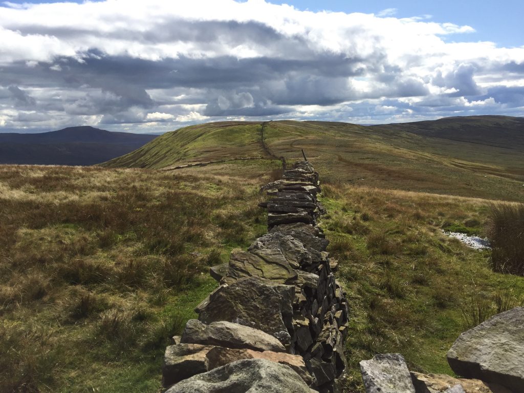
We this follow the boundary wall north for about two and a half kilometres. When you first reach the boundary wall there is a very tempting stile, with small gate, which allows access to the other side and Yorkshire. But we must remain in Lancashire for as long as we can and if you look closely there is a small stile which allows you to cross the wire fence on this side of the wall. Cross the fence and then head north keeping the boundary wall just to your right. Again there is indistinct path against the wall but from time to time you have to come away from the wall as the ground gets very wet and boggy from time to time.
Descend from Gragareth into a col and then ascend the next hill along the ridge, which is called Green Hill. From the col there are great views east down into DENTDALE! Green Hill is actually higher than Gragareth at 628m but the summit is actually in Yorkshire on the other side of the wall so Gragareth remains the highest summit in Lancashire.
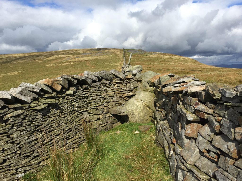
From Green Hill we descend slightly and then up to the junction of three walls. The wall we have been following meets another wall coming in from the left. The two walls then become one further north. In the centre of the walls is a huge boulder, known as the boundary stone. This marks the meeting of three counties and we have come to the end of Lancashire. Use the stone stile in the wall to cross over into Cumbria. Yorkshire remains on the other side of the boundary wall.
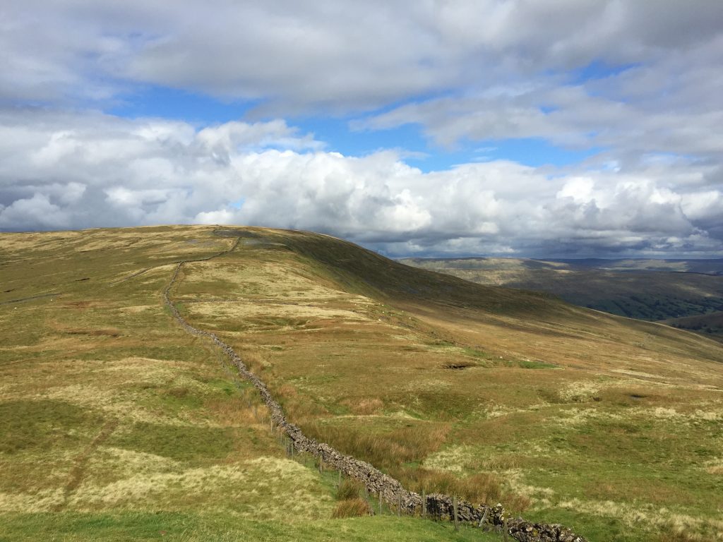
The descent from Green Hill with the most northerly point of Lancashire ahead – the point at which the three boundary walls meet.
On deciding upon the route of the Lancashire Way, this part of the Way presented a real dilemma. Should I keep the Way entirely within Lancashire or could I cross over into the adjacent counties for a short period. There is a precedence for crossing over into another county for the Southern Loop does cross into Greater Manchester for several miles (and the Eastern Loop crosses briefly into Yorkshire), but my excuse here was that this part of the Way used to be Lancashire and most people living there would consider themselves as Lancastrians. However, no excuses here – the county boundaries have always been here.
The decision was to move on into Cumbria. The alternative would be to retrace our steps back to Gragareth or try to descend back down the valley via Ease Gill, but there is no path as such. Also I want the walk to be the best possible and before long we shall have no alternative but to go into Cumbria at Kirby Lonsdale in order to cross the River Wyre.
So onwards, follow the boundary wall north up the steep hill to the summit of Great Coum – the highest point on the whole of the Lancashire Way at 687m (2,254ft), although the summit is actually just over the wall.
When you reach the top turn left and follow the boundary wall which now heads west towards Crag Hill. Part way along the summit there is stile over the fence but ignore this and keep on this side of the wall/fence. Before long, you will see the trig point that marks the summit of Crag Hill (682m) on the other side. It is just possible to cross over the fence to visit the trig point and take in the views down to Barbondale.
We are now going to descend the hill back towards Lancashire. Continue following the boundary fence. Initially there is a grassy track but when the fence changes direction a little the path splits into two giving us two options.
My initial route was to leave the track and follow a path on the right, which continues to head down the hill along the boundary fence. In the event of poor visibility this is the safest way down. However, the path is not always distinct and it can get wet and boggy in parts so please just keep the fence to your right. After about 1.5km your way will be barred by a boundary wall. At this point turn left and follow the obstructing wall south until you come to a gate at the junction with another wall/fence.
The better route is to take the left-hand path when it splits into two. This is a more distinct path and almost a track in parts. It heads into open country away from the boundary fence and after about 500m comes to another boundary fence on your left and then follows this downhill to the gate mentioned above.
Pass through the gate and then follow the boundary wall SW keeping the wall on your right. There is a decent grassy track on this stretch. After a few hundred meters you will come to a stream and the end of a walled lane. At this point you have a decision to make as there are two alternatives. The easier route is to follow the lane west to Bullpot, which is an old farm now used by potholers, who also camp in the adjacent field. At the property take the footpath on your left, which heads south to Ease Gill.
The route of the Way takes an alternative route SE across Casterton Fell. The purpose of this is to explore the dry valley of Ease Gill, which is much more interesting but the path is not always good. Indeed, the path on the OS Map is initially only marked by black lines but on the ground the path is a good one often stoned and marked by many stakes. The reason for this is to give the potholers a well-defined and easy path to Ease Gill, which has many potholes. This is part of the great Three Counties Cave system, which is thought to run 89 km and has over 40 entrances.
After about 500m use the stile to cross a fence and then head along the fence and then down the steep slope to the stream below. To your left you can see and hear the stream flowing in the valley bottom with many distinctive bands of grey white limestone.
Cross the bridge into Lancashire and observe the water falling over a thick band of limestone to your right. Ahead of you is a ladder stile. Use this to cross the wall, and then turn right back down to the valley bottom. You will notice that here the river is dry and silent. Turn right and head up the river and you come to a cave where you can see a waterfall and a deep pool below. However, the water does not flow over the lip so must drain below ground!
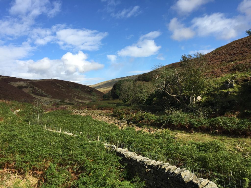
We will now follow the dry valley downstream for about a kilometre. On the Lancashire side there is often a path on the grassy bank but from time to time you have to enter the streambed or cross to the other side. Please beware, the boulders in the stream bed can be very slippy as are the indigenous limestone rocks.
When I went along this stretch the grassy banks were flattened in parts, which must have been down to a period of flooding when the volume of water was such that it had to flow in the stream bed!
At one point there is a telegraph pole across the riverbed, which you have to climb over or under. Then your way is barred by a metal fence, which crosses the riverbed. At this point look right and use the gate to exit the river valley. Turn left and continue downstream keeping the fence/wall to your left.
Before long you will see a stile over the fence just before a small valley. We will make a short detour back to the riverbed to see a dry waterfall. Clearly the limestone has been shaped by water but none is present at the moment- unless it has been particularly wet.
Retrace your steps back over the stile and then continue along the fence into the small valley. At the far corner is a rickety old ladder stile. Cross over this back on to the riverbank. Continue downstream on the western bank towards a small gorge.
The OS map shows the path crossing the riverbed, entering the gorge and then starts to climb up the cliffs on the left-hand side. However, it can be muddy and slippy and the route takes you along the edge of the gorge with a significant drop on your right. Please be very careful on this stretch. After a short climb you come out of the gorge onto the moorland on the eastern side of the river and then to a gate.
There is an alternative not marked on the map, which is preferable. After crossing the ladder stile look out for a path after about 100m on the other side of the river which heads through ferns up the steep bank. The path is not always visible in the summer with the growth of vegetation. Head up the slope to a boundary fence and a gate. Do not cross through the gate but turn right and follow the fence south until you come to the gate above.
Cross through the gate and then continue downstream. We are now quite high above the river below and you will notice that it is noisy again and water is flowing. Unfortunately we cannot easily climb down to the river again to see the point at which the water reappears at the surface. However, the river is quite significant at this point so it must be a quite a spectacular feature.
Continue straight on. At one point the path splits but take the shorter left path – they do join again further on. You then come to an area marked on the map called Anneside, which is populated by many pheasants and pheasant equipment. Pass this joining a muddy track. The track descends into a dip and at this point look out for a stile on your right with a footpath waymarker.
Just further on is a Neolithic settlement – called Castle Hill on the OS map. On the other side of the valley from here at High Park are cairns, field systems and settlements with evidence of burials from the period of time 4000 to 2500 BC!
Cross over the stile and descend to the valley bottom. Turn left and continue downstream. After a short while the path joins a track, which then makes its way through Springs Wood and then out again into a field. Follow the track to the end where there are two gates. Exit onto the lane by the left-hand gate into the village of Leck. Join the road at Leck Mill and turn right.
Continue along the road ignoring the two left hand turnings. The road then bends to the right and then the left and then past some relatively new houses on your left. Just after a telephone box (now removed!) you will see a footpath sign on a lamp post on your right. Pass through the gap in the wall into the field and pick up the track that heads towards the river. Pass into the next field and then follow the track around to the left so that you are now walking parallel with the river, which is on your right.
When you come to a gate ignore this and follow the side of the fence i.e. keeping the field and its boundary fence on your left. Pass through a metal gate and then keep on this bank following the river down to an old railway viaduct. There are paths on the bank directly by the river but it is easier to follow the ledge by the fields.
Pass under the first arch and then use the stile to pass onto a new path in front of some newly built houses. Continue in the same direction past the houses and exit back onto the A65 via the stone stile. Cross the main road and then use a gap in the wall to pass onto the old bridge over the river. We will now make a small detour and turn right. Less than 100 metres on your left is a small terrace of houses, which housed the school that the Brontes attended. There is a plaque on the wall facing the main road.
Return to the old bridge and take the footpath on your right on this side of Leck Beck. Follow the path along the river bank as far as a footbridge on your left. Just before the footbridge is the point at which the old Roman Road crosses Leck Beck.
Then take the ladder stile on your right to enter the field. Walk in a NNW direction keeping the fence, then wall and then hedge on your right. The last stile deposits you into another field with no boundary on your right. Go straight on to the boundary on your left and follow this north towards the caravan park. At the top corner of this field, on the perimeter of the caravan park, is a small footbridge. Use this and the stile to enter the site. Find the gate on the opposite side of the caravans to exit the site. Cross the corner of this field and use the gate to enter the next field. Continue in the same direction and find a gate, which gives you access to the grounds of the Whoop Hall Hotel. Turn right and follow the hedge and then join the hotel road and head towards the front of the hotel and the A65 – again!
Turn left and follow the A65 for about 400m on the left-hand side. The road here is fast but the verge is wide and the traffic begins to slow down as the road bends to the right. At this point is an entrance road and Sommerfield Lodge. Just after this there is a stile, which takes you into the field on the left. Head down the slope moving away from the road and find a kissing gate, which allows you to exit the field onto the A683 – does Hornby, Melling and Tunstall seem a long way off after today’s stage?
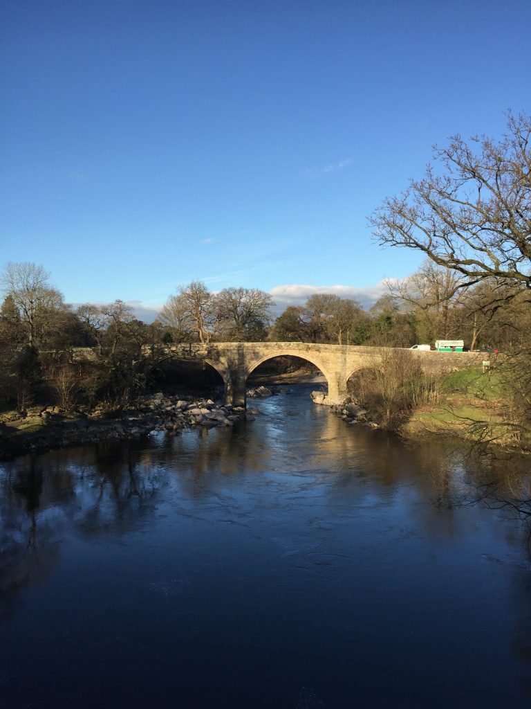
Cross the road and use the gap stile to enter the field opposite. Bear slightly right and head down the slope through a dip in the contours down to the flat flood plain of the River Lune. Use the very old metal swing gate to exit the field onto the main road. Cross the road and then take the turning off the main road, which takes you to the old bridge over the river – Devil’s Bridge – the perfect ending for a great day’s walking.
Kirkby Lonsdale is a historical and beautiful town. Its position as a crossing point of the Lune has helped its development over many centuries. There is a Neolithic stone circle nearby on Casterton Fell and the Roman road passes just to the east. It was mentioned in the Domesday Book. Of course it has its “motte”, which can be found near the viewpoint over the banks of the Lune to the north of the town. St Mary’s church in the centre is of Norman origin and in 1093 was gifted by the Baron of Kendal to St Mary’s Abbey in York. After the dissolution of the monasteries in the late 1530s the church was granted to Trinity College Cambridge, which still has patronage today!
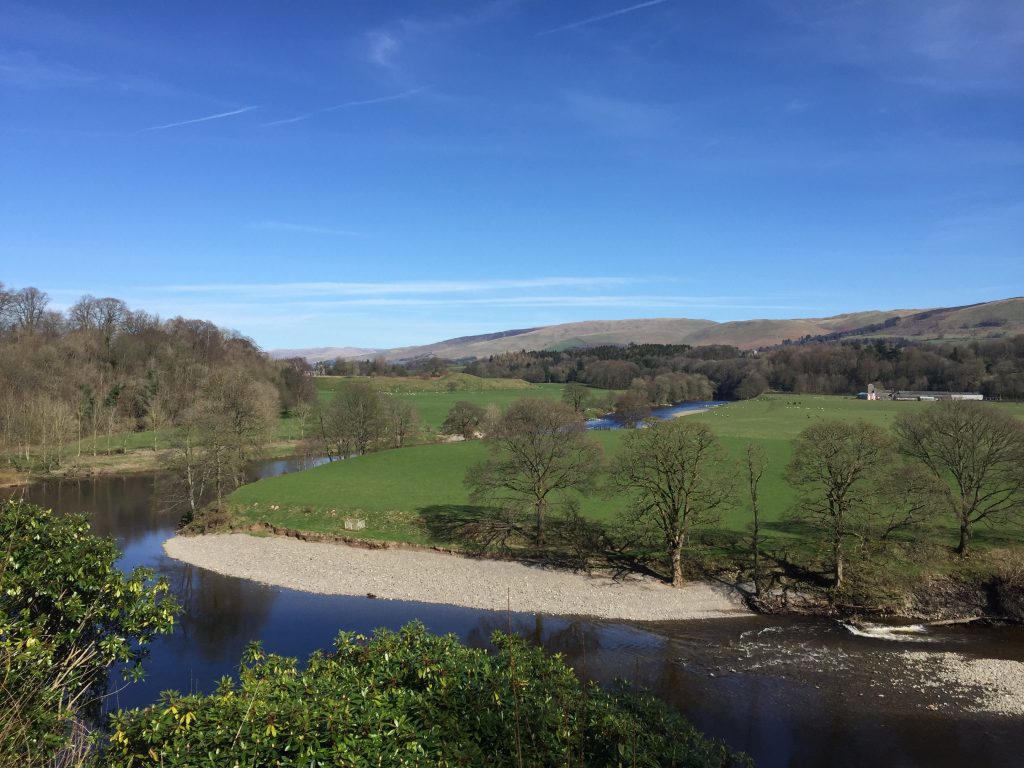
It has been the main market town in the area and, with its many packhorse routes and turnpike roads, a stop off point for weary travellers! It apparently once had 29 inns and ale houses! Perhaps its most famous and visited spot is the viewpoint known as Ruskin’s view, which is just behind the churchyard with “One of the loveliest views in England”. It was also painted by JMW Turner.
END OF STAGE 35
There are two very good pubs in the centre of Kirkby Lonsdale with accommodation – the Sun Inn and The Royal Hotel – and there are one or two B&Bs. The other options are those highlighted at the end of Stage 34.
Click here to go directly to Stage 36 – the next on the Lancashire Way
CIRCULAR/DAY WALKS
This Stage is almost a circular walk in itself. You could begin and end in Kirby Lonsdale by completing the end of the Stage at the beginning of the day to get to Leck. Alternatively, park at Cowan Bridge (there is a car park by the village hall and also parking by the church). Head under the railway towards Leck and take the second lane on the right past the church and on to Todgill Farm, where you can join up with Stage 35. Finish Stage 35 early back in Cowan Bridge.

