STAGE 58 – LOVECLOUGH TO TOWNELEY HALL, BURNLEY
5.75 miles – 2.5 hours walk.
578 feet climbed – highest point 1,246 feet – Near White Hill on the way to the Singing Ringing Tree
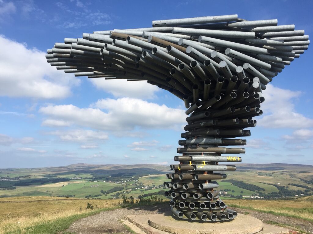
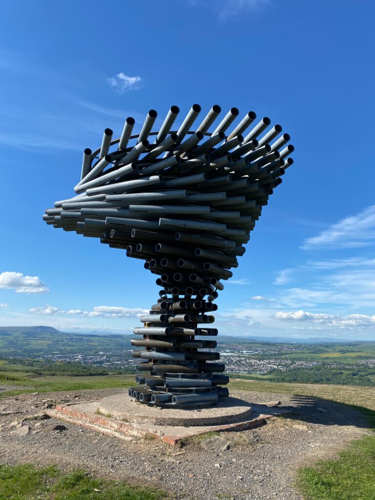
A pretty stage with good moorland to begin with and views of Clowbridge Reservoir and the Wind Farms that we encountered earlier on the route. The Stage is dominated by the “Singing Ringing Tree”, one of the four Panopticons and probably my favourite. Such a site and great views north over the Cliviger Gorge.
The map of Stage 58 can be found below courtesy of Ordnance Survey maps. You can subscribe yourself using this link, https://osmaps.ordnancesurvey.co.uk, which will enable you to import the GPX file which can be downloaded below. There is a small annual charge of around £30.
Download file for GPS
To download the GPX file for this stage click on the link above.
Cross the A682 road and find the steps almost immediately across on the right-hand side of the property. Follow the path to a stile and cross into a field. Carry straight on to a road. Turn right and follow the road. Just after Greenfold Drive turn left on to path which follows a gully uphill. Carry straight on to a first stile gate then on to large metal gate.
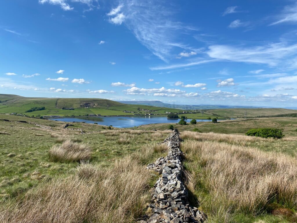
Looking down to the Clowbridge Reservoir near to the start of the Stage – yes that is Pendle again in the background!
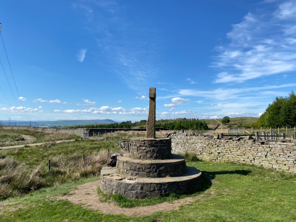
At the next old metal gate with a substantial wall and with a path off to left bear right up the slope. Then pick up the wall and pass to its left and follow it all the way to the Cross! Little is known of this Cross but it is referred to as Compston’s Cross as it was refurbished in 1903 by Alderman Samuel Compston. This is more than likely the position of a way marker stone at the junction of several tracks possibly from Whalley Abbey.
Carry on in same direction through a new shiny gate just to left. Take the right-hand white track. A little further on pass through a gate, then the track climbs and twists and then flattens out following a boundary wall. Look out for a stile on your left immediately after this. Cross and follow the path to the road. Cross and turn left to the car park, which serves the Singing Ringing Tree. Follow the gravel path to the Singing Ringing Tree, which is the second Panopticon that we have visited out of the total of four. See Stage 49 for full details. There are excellent views both across the Cliviger Gorge to the hills to the north, which we walked across earlier on the Eastern Loop and also to the west, where you can see the distinctive shape of Pendle Hill.
Look for the stile just beyond the Ringing Singing Tree. Carry straight on for 50m to a wall and then turn left downhill roughly following the wall. You will then come to a marker post and a metal gate stile. Cross through this and then follow a wall on your left and then bear right down to a metal gate at the back of a cottage. Descend to the main road using the steep concrete drive to the cottage.
Cross the main road. Turn right and cross the wall by a footpath sign. Descend the steps, turn right and cross over a bridge onto other side of a stream. Turn left and follow the line of stream downhill to a lane. There is an old stile and steps by Dyneley Cottage to exit the field onto the lane. Turn left. Follow the track and then bear right down a tarmacked lane. At a junction with two drives look out for a footpath sign on your right. Cross over the wall, then a footbridge and then an interesting chain stile to exit into a field. Carry straight on along the wall on your right to a stile gate. Then carry straight on to a railway crossing and then down by a wood to another main road. Cross, turn right and then left down a path before the first bungalow.
The path brings you into a housing estate. Look for the continuation of the path straight ahead between two houses. It then turns left and follows the back of the houses to a bridge over a stream. Cross onto the road. Turn left and note the good information board about Park Road and the surrounding area.
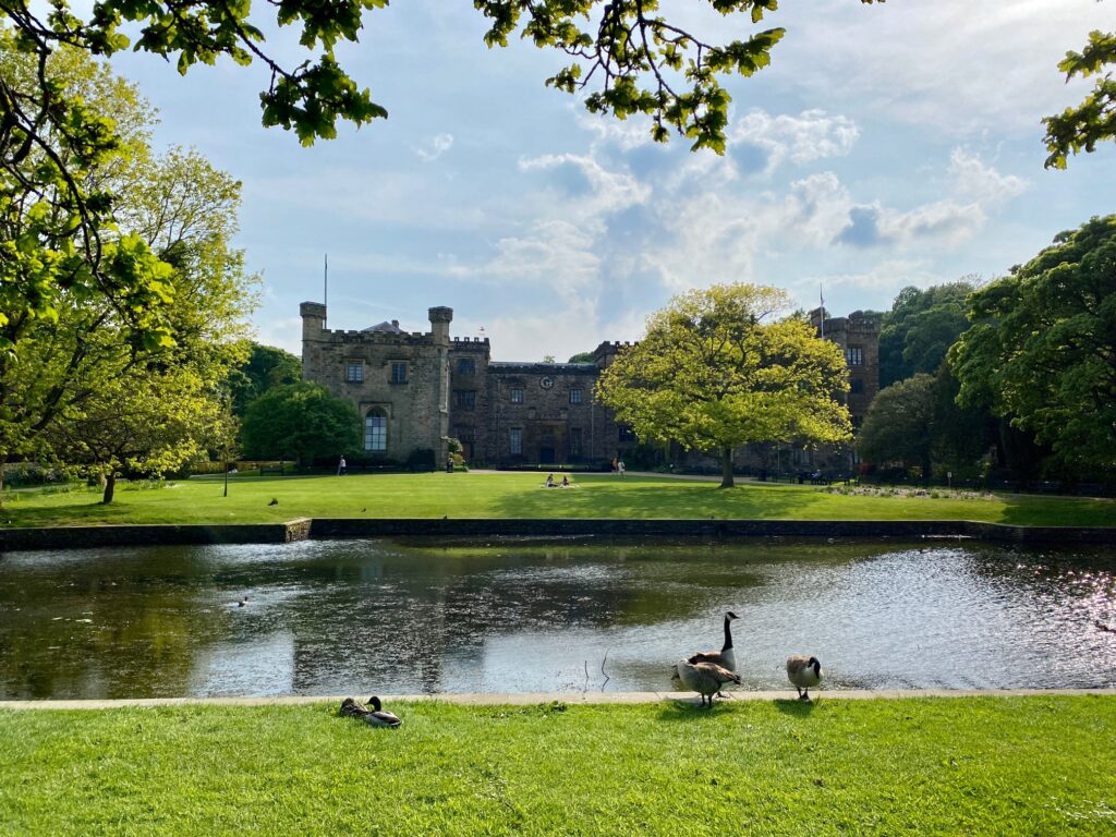
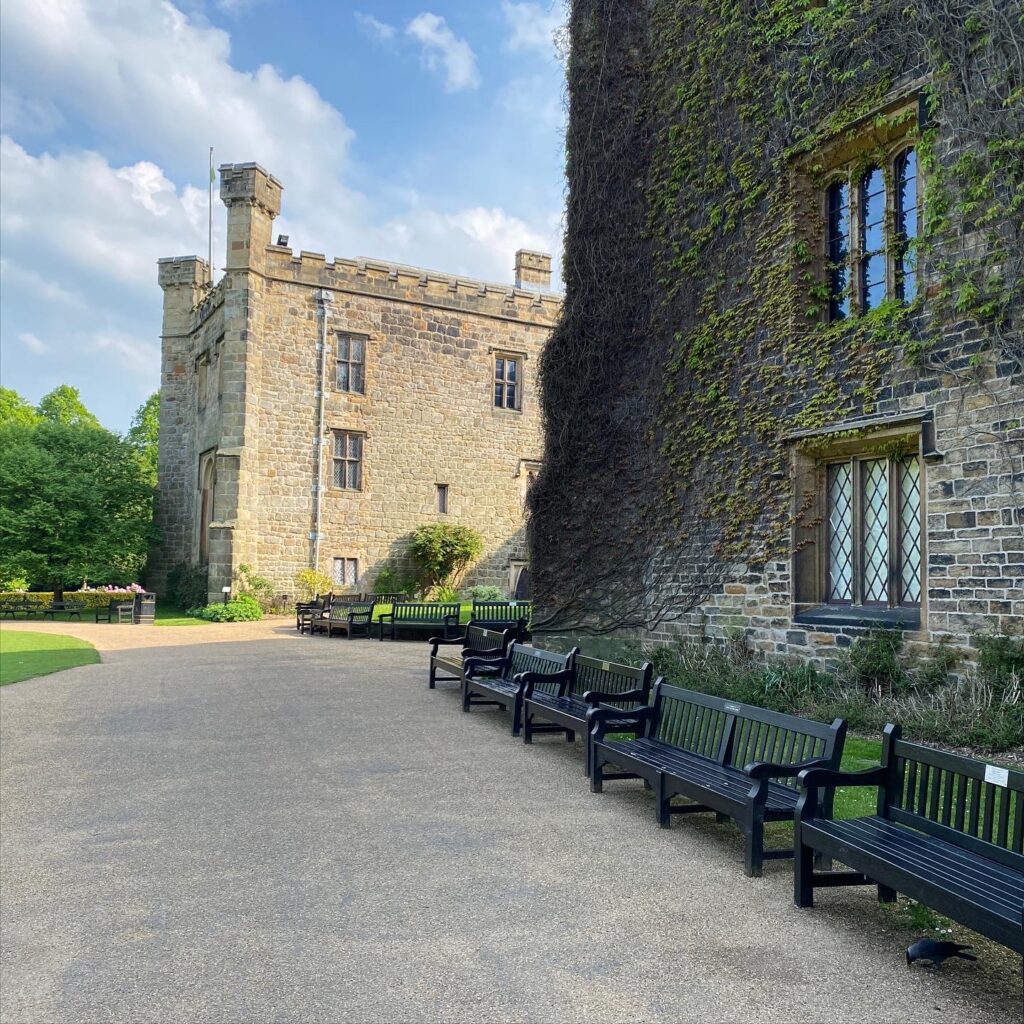
Carry on along Park Road until you come to the entrance to Towneley Park. Carry straight on through the park and then past some playing fields until you come to a substantial tarmac path with a car park on your right. Turn left and you will see some way straight ahead of you, Townley Hall itself. Follow the path to the front of the Hall with its lawn, pond and fountain.
The hall was the home of the Towneley family from around 1200. The family once owned extensive estates in and around Lancashire and the West Riding of Yorkshire. The hall not only contains the 15th-century Whalley Abbey vestments, but also has its own chapel – with a finely carved altarpiece made in Antwerp around 1525. The male line of the family died out in 1878 and in 1901 one of the daughters, Lady O’Hagan, sold the house together with 62 acres of land to Burnley Corporation. The family departed in March 1902. The hall is still owned and managed by Burnley Borough Council with the main entrance to the park within a mile of the town. Towneley Hall houses Burnley’s art gallery and museum. The art gallery contains important Victorian and Pre-Raphaelite works by Burne-Jones, Waterhouse, Alma-Tadema and Zoffany.
Between 2005 and 2011, the Heritage Lottery Fund granted £3.2 million to help fund a major programme of restoration of the Park.
END OF STAGE 58
Click here to go directly to Stage 59
You are just two miles from the end of the Eastern Loop and the centre of Burnley so are unlikely to need accommodation etc. However, if you exit the Park using the directions on Stage 59 you come out on to the Todmorden Road – A671. There are buses into Burnley from here.
CIRCULAR/DAY WALKS
Follow the Burnley Way out of Towneley Park on Stage 59. Leave Stage 59 just after you enter the housing estate and continue to follow the Burnley Way in SW direction. Pass through Burnley Golf Club and on to the Manchester Road. Cross the road and continue along the Burnley Way to Hameldon Hill. From here you can rejoin with the Rossendale Way and the Lancashire Way on Stage 57 near to Goodshaw Hill. Return to Loveclough by using Stage 57.

