STAGE 64 (W5) – SALWICK BRIDGE TO BILSBORROW
6.75 miles – 2.5 hours walk
48 feet climbed – highest point 80 feet
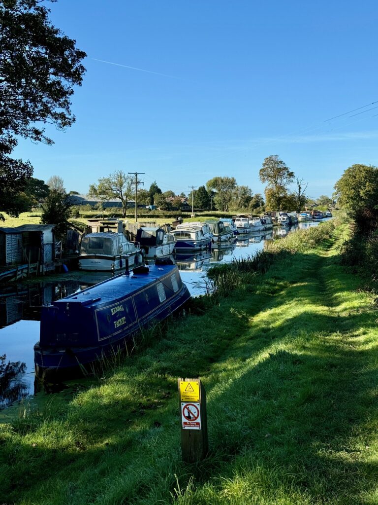
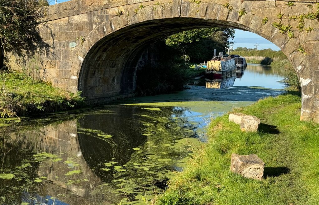
Another simple but pleasant and easy walking stage which follows the towpath of the Lancaster canal for its entire length through some lovely countryside.
A map of Stage 64 can be found below courtesy of Ordnance Survey maps. You can subscribe yourself using this link, https://osmaps.ordnancesurvey.co.uk, which will enable you to import the GPX file which can be downloaded below.
Download file for GPS
To download the GPX file for this stage click on the link above.
From the Hand and Dagger, descend to the towpath of the canal. You need to use the steps on the other side of the road and then return under the bridge. Follow the towpath as far as Bridge 45 in Bilsborrow as it meanders north through pleasant countryside. You will know when you are entering Bilsborrow as you will pass under a road and then Owd Nells Tavern and the leisure complex known as Guys. The next bridge is the one that we will come off the canal at. Use the wooden stairs at the side. Alight onto the road, turn right, cross the canal and follow the road down to the main road with two imposing pillars. This road accesses Myerscough Hall, which is now a Sports and Agricultural College. This is the end of the Stage.
END OF STAGE
Click here to go straight to Stage 65 (W6)
Opposite the end of the Stage is a bus stop, which can take you south to Preston or north to Garstang and Lancaster. The bus service numbers are 40 and 41.


