STAGE 70 (W11) – GREAT ECCLESTON to the SHARD BRIDGE
5.25 miles – 2 hours walk
106 feet climbed – highest point 84 feet – Great Eccleston
An easy start crossing the Wyre again at Little Eccleston and then a problematic section which can be very muddy and can be affected by tides so please read the route description below for issues that you might encounter and alternative options.
PLEASE READ THIS STAGE THOROUGHLY TO ENSURE YOU APPRECIATE SOME OF OBSTACLES ON THE ROUTE
A map of Stage 70 can be found below courtesy of Ordnance Survey maps. You can subscribe yourself using this link, https://osmaps.ordnancesurvey.co.uk, which will enable you to import the GPX file which can be downloaded below.
Download file for GPS
To download the GPX file for this stage click on the link above.
Having diverted from the Wyre Way quite considerably by crossing the river to Great Eccleston, we now need to make our way back over the river to link back up with the Wyre Way. As Stated on Stage W11, I felt it had to be visited as it is one of the largest villages on this part of the Fylde and provides an important transport link, shops for provisions and overnight accommodation at the nearby Cartford Inn.
Continue along the High Street through the village of Great Eccleston back to the main road – A586. Turn left and then use the island to cross the main road. Turn left and then right onto Blackpool Old Road. Follow this road around the bend and then turn right into Cartford Lane. Follow this through the village of Little Eccleston down to the Cartford Inn, which sits on the southern bank of the River Wyre.
The Cartford Bridge, which crosse the Wyre, is unusually a toll bridge but free for pedestrians. It is the penultimate crossing of the River with the Shard Bridge being the last.
Pass over the bridge and then past the toll house, from where we take the road west following the river downstream for about 1.5 kilometres. It is here that we should pick up the Wyre Way again when it finally makes its way back down to the river after having avoided it for 3.5 miles by taking an inland route since Turnover Hall Farm just outside St Michael’s.
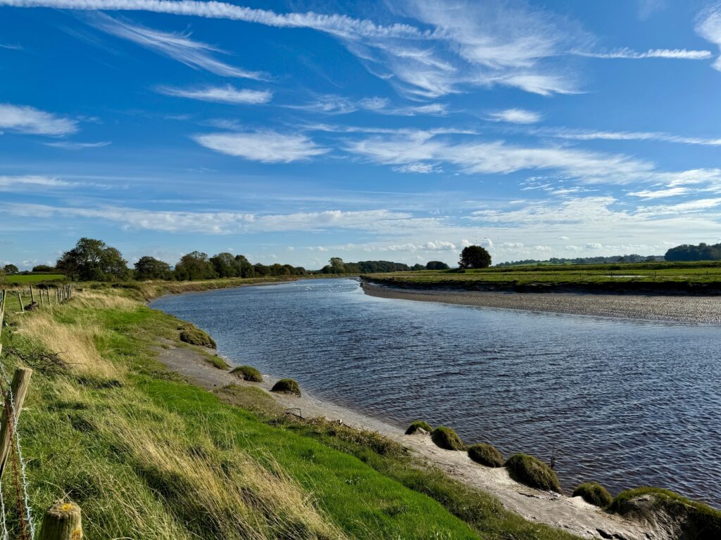
It is also here that we come to the first issue. This first stretch of path along the river is totally impassible. You can see the way markers on posts directing you to descend from the road and follow the riverbank, but it is completely overgrown by a reed bed. I defy anyone to cross through this section even if it is only around 500 metres long. The only option is to follow the road to and then through the small hamlet of Town End and take the footpath on the left-hand side at the end of the last property. This path takes you back down to the river where we pick up the Wyre Way again. NB This path can be wet and is confined but it is generally not overgrown and passable.
WARNING. The official route of the Western Loop does use the Wyre Way now all the way to end of this stage at the Shard Bridge, but it is not for the faint hearted. Please read the route description below and then you have a decision. Follow the official route or continue along the road all the way to the Shard Bridge. There is also a halfway house of following the road but turning left just before Tarn Brook and picking up the Wyre Way and heading to Liscoe Farm.
Assuming that you are following the official route turn right when you exit the confined path keeping the river to your left. On this section try and keep as close to the boundary between the land on your right and the marshy flood plain to your left to avoid the flood plain which can be very wet. Indeed, the Wyre Way on the OS map shows it heading out into the flood plain at times but please don’t be tempted. Follow the edge of the land to Waterside Farm. Here you can climb up on to an embankment which initially follows the track to the farm. Continue on after the track turns away and shortly afterwards turn right and follow the path that takes you to a road – Bodkin Lane. Turn left and follow the road to Liscoe Farm. At the farm walk past the main buildings keeping them on your left. At the end of the buildings climb over into the field. Carry straight on to a pond. Walk around it rather than taking the overgrown path on its left. Pass into the next field and then head down to the bottom right hand corner, where you can climb up on to an embankment. Turn right and follow the embankment for a short while but keep looking down at the flood plain to your left as you will shortly need to descend on to the flood plain. Look out for a wooden waymarker and descend when you see this. Follow the edge of the floodplain to the Shard Riverside – a pub with dinning and accommodation. It is not easy walking on this section!!
END OF STAGE
Click here to go straight to Stage 71 (W12)
There is accommodation at the Shard Riverside or you can walk across the Shard Bridge to catch buses at Little Singleton or trains at Poulton but it is a trek.


