STAGE 25 ALTERNATIVE – DUNSOP BRIDGE to CHIPPING
6.25 miles – 2.5 hours walk.
595 feet climbed – highest point 606 feet – New Laund Hill
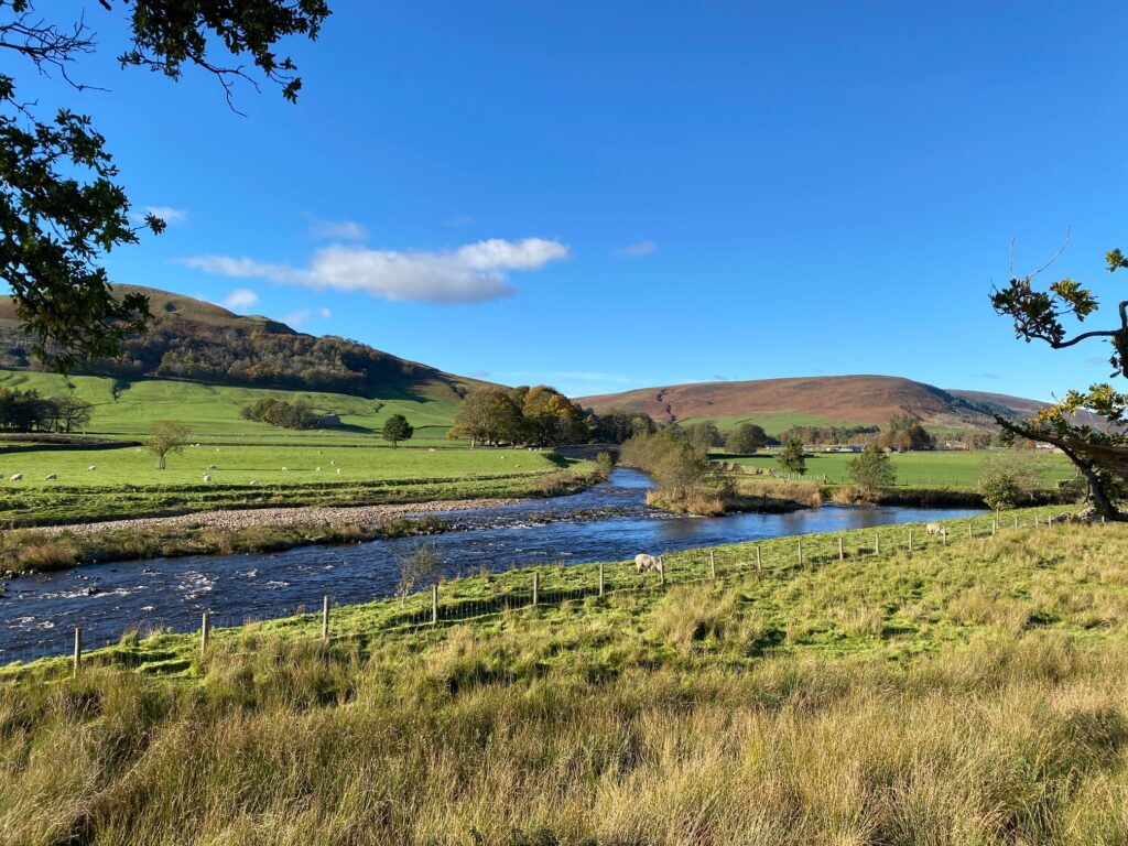
This is the alternative low-level route from Dunsop Bridge to Chipping for anyone that will find the high route over Fiendsdale Head too demanding or when the weather is poor. The Bowland Fells can be a really desolate and forbidding place when the clouds are low and the rain is heavy. This alternative route is a real contrast to Stage 25 and follows the River Hodder down its green and beautiful valley before heading west to Chipping.
A map of Alternative Stage 25 can be found below courtesy of Ordnance Survey maps. You can subscribe yourself using this link, https://osmaps.ordnancesurvey.co.uk, which will enable you to import the GPX file which can be downloaded below.
Download file for GPS
To download the GPX file for this stage please click on the link above.
ROUTE DESCRIPTION
This alternative to Stage 25 has been designed to make the Lancashire Way accessible to more people or provide an easier low-level route in case of poor weather conditions. It is very different in character – consisting of series of footpaths through the Hodder valley rather than the climb over the southern Bowland Fells and the steep descent from Fair Snape Fell into Chipping. In fact it is impossible to compare the two as they are so different but if you do take this route then it is a lovely stroll down to Chipping and is a worthy part of the Lancashire Way. Indeed in my original thinking it was the official route but the Bowland Fells are not an Area of Outstanding Beauty for nothing and the higher route just won the day.
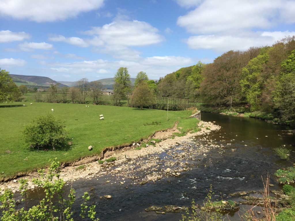
Begin at the Post Office/Puddleducks Tea Rooms in Dunsop Bridge. Turn left/eastwards and follow the road out of the village past the car park and toilets on your left. When the road bends to the left follow the drive that is almost straight ahead of you towards the buildings called Thorneyholme Hall. Note the great conifers that line the drive and feel their unusual bark! Cross the bridge over the river and then take the gate immediately on your right. Follow the river into a field and then continue to head south with the river just on your right. At the end of the field use the stile to pass into the next field and then on to the iron bridge, which carries water pipes and a footpath. Just after this you can see Langdon Brook joining the Hodder on the other bank. This is the river that comes out at the bottom of the “Trough of Bowland” and which you would follow into heart of the southern Bowland Fells if you had taken Stage 25 itself.
Continue downstream until the river begins to bend away to the right and you can see the farm called Burholme. Bear left and head to these buildings crossing into the farmyard by a ford or footbridge, when the water level is high. Turn right and then follow the farm road to the main road at the junction with the Burholme Bridge.
NB. At this point you need to assess the height of the water in the river and whether it will be possible to cross the Hodder via the stepping stones near to the Inn at Whitewell – see next section. It will be a judgement call – sorry! Whilst not always fool proof there is a depth gauge on the other side of the bridge. If you cannot see the number “1” completely then it is unlikely to be passable. If in doubt cross the Bridge over the river and take the road on the left and follow until you come to the track that serves Reed Barn Cottage and New Laund Farm. Take the track and pick up the official route within the farm.
Bear left and follow the road for about 3/4 of a mile to the Inn at Whitewell. If the road is busy, and it can be during weekends in the summer months, then there is a concessionary path along the edge of the fields on the right although when I was last here there was no easy exit back onto the road – it looks like you need to climb back over a low wall just before the inn.
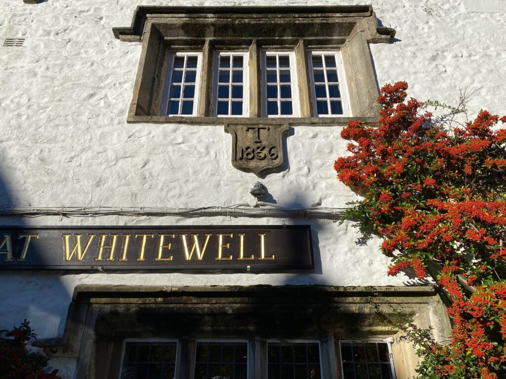
The Inn at Whitewell is a beautiful traditional pub with about 20 rooms. It would make a great overnight stay as the food is excellent and the views over the Hodder, particularly from the terrace at the rear, are quite beautiful. But be warned, the rooms are expensive although the bar meals are very reasonably priced.
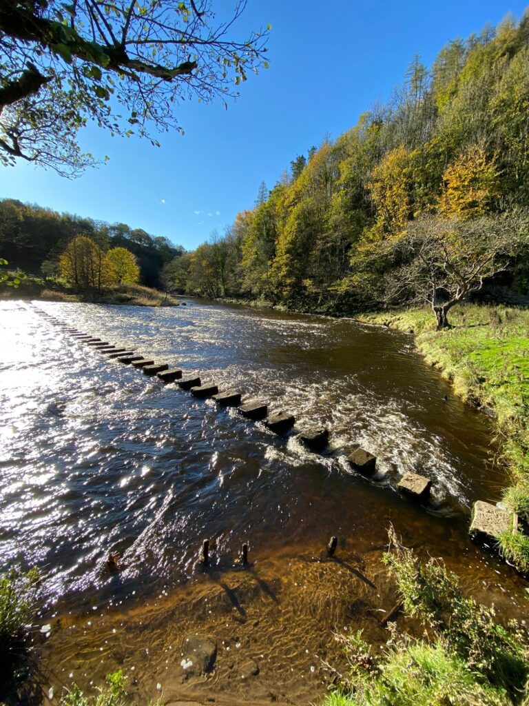
Pass the small church on your right and head down through the car park away from the main road towards a cottage. Turn right and then left along the edge of the riverbank – look out for the sign towards the Stepping Stones. After a short distance you will come to the river and the stepping stones, which are one of the few ways across the Hodder in this part of the valley.
NB The path ends rather abruptly just before the stones so you may have to jump across to the stones or scrabble up the bank to access the stones.
Use the Stones to cross the river.
On the other side continue straight ahead up the steep but short slope with the wood on your left. Join a track and pass through two gates and enter the farmyard – New Laund Farm. Opposite the first building, a farmhouse, on your right and before you come to the other farm buildings look out for the gate on your left with a footpath sign – you may spot the birdcage by the side of the gate! Turn left through the gate and then head up the steep but again short slope ahead. Continue up the field keeping the wooded area on your left. When you reach the very top of the slope there are fantastic views both north and south.
With the view to the south you can see River Hodder straight almost like a motorway heading south through woods. In the distance is Longridge Fell, which we will climb on the next Stage.
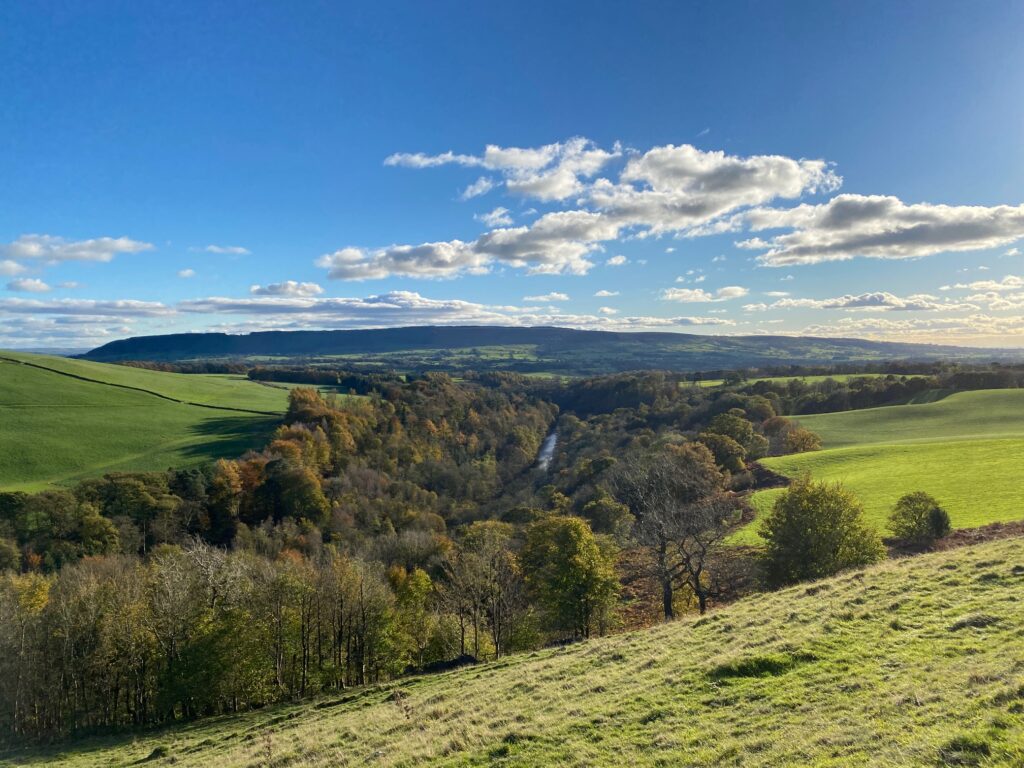
The view down the River Hodder from New Laund Hill with Longridge Fell in the background – Stage 26!
At the top of the hill are about four tracks/paths. Take the second one on the left so that you have some height for the views but do not take the highest as we will now descend from the hill to a ladder stile in the stone wall below. Cross into the field. On the other side is a bench with a great view in memory of Eric West, who farmed here. What a beautiful place to live and work! Continue straight on keeping a series of fence posts just on your right. At the bottom of the field turn right and head through a gate and then turn left and follow a track to the properties known as Fair Oak. The paths through this farm can be confusing – ideally we would follow the farm road to the main road but this is not a public right of way.
Pass through a gate and then up a track to join another track. Turn left and then bear right onto another track rather than following the road directly in front of the farmhouse. So with the farmhouse on your left turn right towards a large stone barn with distinctive glassless windows – ventilation holes? Pass to the right of the barn and then bear left around the back and then use the track on the right to enter the field. Bear slightly right and head across the field to the far boundary where there are two stiles in quick succession which take you on to the road.
Turn right, ignore the footpath sign on your left, and then turn left on to the drive which serves a number of properties called Higher Greystoneley. Follow the drive around past the successive properties and then onto a grass track, which heads straight down the hill into woods. Continue to the bottom of the valley and cross the river by the ford or footbridge. Continue on the track up the other side of the valley past two properties on your right until you come to Knot Barn on your left. Just after this building turn right off the main track and pass an old lime kiln on your left and a limestone quarry. This dates back to the early 19th century and was last used in the 1920’s. The limestone from the quarry was baked in the kiln to produce quicklime, which was used as fertiliser or to paint the local buildings white.
Ignore a track and path on your right and carry straight on to the end of the quarry and then head slightly left to the far side of the field with a stile that allows entry into a lightly wooded area. Descend to a stream cross over a footbridge and then use a stile to pass into a field. For the next kilometre or so carry straight on keeping the boundary just to your right. Pass through a gate and you will see the remains of a tree. Head to this and then join the road, which services Leagram Hall farm. Turn left and follow the road to the main road.
Turn right and follow the road into Chipping. There is a concessionary path on the right of the road if you want to avoid walking on the road but it is generally quiet. At the T junction turn right and head into the village itself.
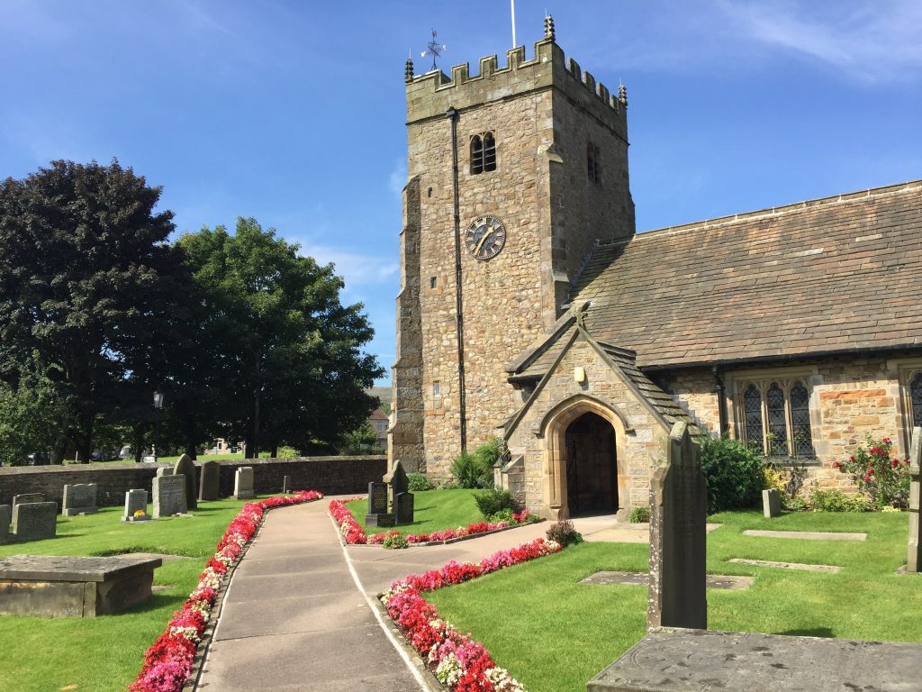
Opposite the Sun Inn is the Parish Church of St Bartholomew’s in the centre of Chipping at a T -Junction. This marks the end of the Stage.
END OF STAGE 25
There is no accommodation within Chipping – the pubs (the Sun Inn and the Tillotsons Arms) only provide food and drink. The best option is the Derby Arms, which is on the Chipping Road/Elm Brow on the way to Longridge or Ferrari’s Country House also nearby. They are about 3.5 miles way so will require a taxi. There are taxi firms based in Longridge. The more local alternatives are the Gibbon Bridge Hotel just outside Chipping but it is quite expensive and more of a wedding venue than a walkers’ overnight stop. It is also worth trying Wolfen Mill, which is just outside Chipping on the Way and has 10 holiday homes/cottages.
CIRCULAR WALKS
Combine Stage 25 with Alternative Stage 25 for a fantastic walk of contrasts.

