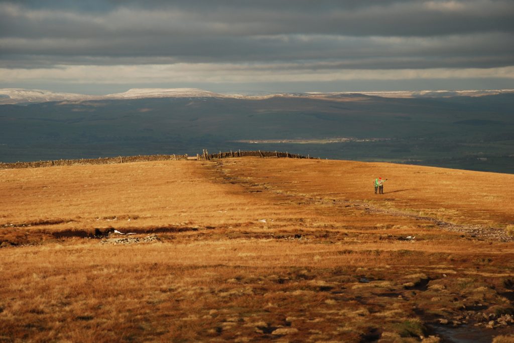
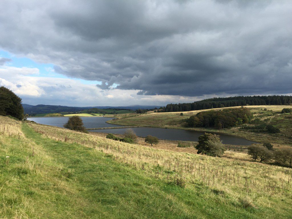
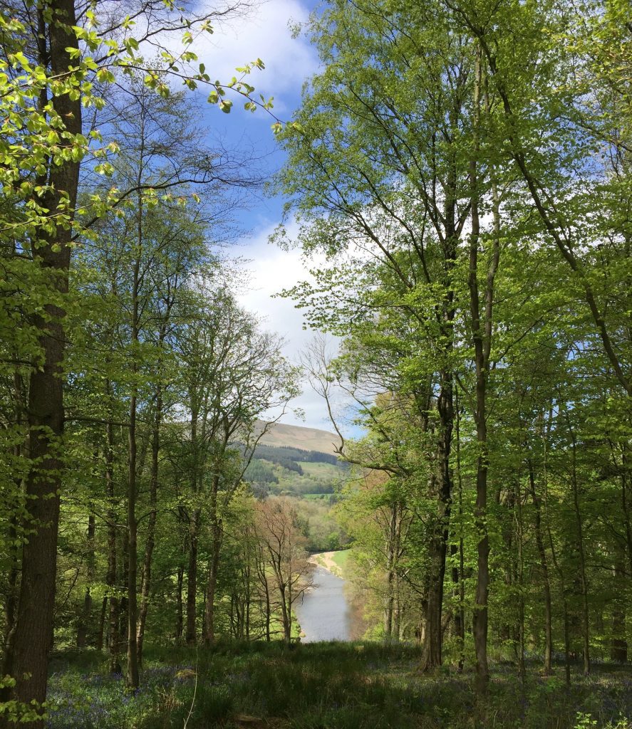
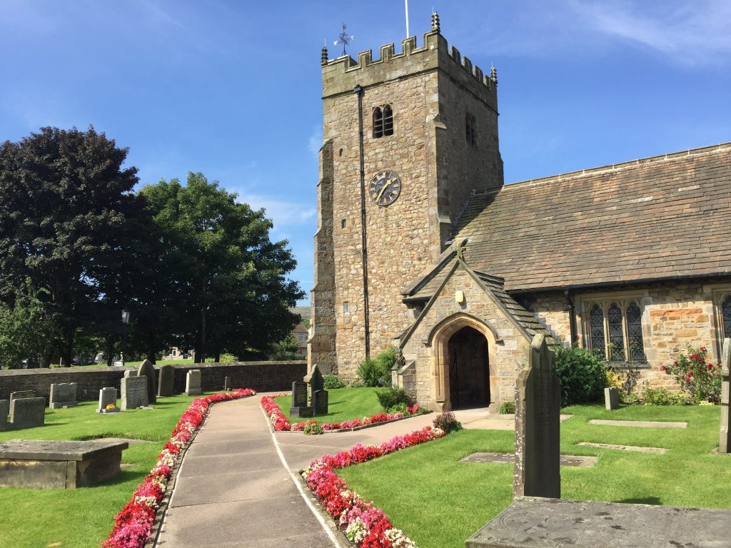
I am Lancashire born and bred and proud of it and I really felt that my county needed a walk that would showcase as much of it as possible. At the moment there are a number of smaller walks within the county such as the Ribble Way, The Pendle Way, The Witton Weavers Way, the Wyre Way, the Lancashire Coastal Path etc, but none really truely show off the breadth of the county. However, I am pleased that sections of the Lancashire Way use parts of these well established walks and will enable you to enjoy the very best of these walks in a new and challenging route.
The two walks that are perhaps the closest are the Lancashire Trail and Wainwrights Way. Both, are great walks but are linear and miss significant parts of the county and their objectives are not purely that of showcasing the county.
Lancashire is also perhaps underestimated as region of beauty especially compared with the many other areas of outstanding beauty which surround it such as the Lake District to the North, Snowdonia in North Wales, The Peak District to the SW and dare I say the Yorkshire Dales to the East. However, I hope that, whether you walk it as a whole , or in parts, or merely tramp its length in your mind, that you gain a full and true appreciation of what Lancashire has to offer. Indeed I hope it stimulates you to explore Lancashire further or your home county if you are merely visiting.
There are a number of long distance walks in the whole of the country and my aim is that this Lancashire Way, in time, will become a national walk – one that will be walked by many each year and all end it wishing they could just start it all over again or determined to visit their favourite parts again as soon as they can or walk some of the other trails highlighted above.
Deciding upon the final route was not easy!! Initially like many walks, I had the idea of a linear walk starting in the south and making its way to the north. In such a walk, the finishing point was easy. Lancaster is the city, which the county is named after, and one which is integral to the history of the county. It is also one of the most northerly points and is also a stop on the mainline west coast railway so will ease the return home of any travellers from afar.
The starting point for such a walk was not so easy. The south of the county has been ravaged by the changes in electoral boundries with Manchester, Bolton, Wigan, Rochdale and Bury all removed into the new county of Greater Manchester and Liverpool and its many neighbours now comprise Merseyside. Wigan, whilst strictly Greater Manchester, is also on the main west coast trainline so might have been an option or say one of smaller towns in the south of the county such as Ormskirk in West Lancashire or Chorley. However, none seemed satisfactory.
I therefore came up with the concept of a “loop”, which begin and end in the same place. These loops actually allow the walk to cover more ground and visit more places, whilst still having a beginning and an end – a progression. A loop is also more practicable from a logistics point of view. The final route of the Lancashire Way consists of five loops. A Southern Loop covering southern Lancashire, which begins and ends in Preston. A Central Loop, which also begins and ends in Preston and covers the Ribble valley, Pendle and the southern half of the Bowland Fells. The third is the Northern Loop which takes in the very north of the county from the Bowland Fells to the Lune valley and includes some excellent coastal walking. This is centered upon Lancaster. The Eastern Loop is based on the town of Burnley with its good communications, both road and rail. This includes a great stretch of moorland walk from Earby in the north to Whitworth in the south and almost follows the eastern border of the county with first Yorkshire and then Greater Manchester. And finally, the Western Loop. It is the shortest and has the lowest ascent and is dominated by the Fylde coast. All are quite different as I hope you will discover. Each of the loops takes upto seven days to complete so the whole Way can be completed in five separate weeks or you can complete in one complete continuous walk of 473 miles, as each of the Loops connect with each other. Before I added the Western Loop I almost completed the then four Loops in one continuous walk of 15 days. The story can be found by using the following link.
Follow this link for THE FULL 400
LINKING THE FIVE LOOPS
The Southern and Central Loops have the same start and end point at Preston Railway Station.
The Eastern Loop and Central Loops meet at Newchurch-in-Pendle.
The Central and Northern Loops almost meet on the Hornby Road in the Northern Bowland Fells. There is a gap of around three quarters of a mile so it is easy to join these two Loops.
The Western Loop does not join directly with any of the other Loops but passes close to both the Central and Northern Loops. The best way of joining the Western Loop to create one large 473 miles walk is to come off the Northern Loop at Grizedale Bridge just after Nicky Nook near Scorton and head to Kelbrick Farm via Barnacre Moor with its reservoirs and Masts. A map can be found below
Download file for GPS
In parts the route of the walk can seem convoluted and not always direct. The reason for this is to ensure that the walk takes in the very best of the county. In a number places it is possibly to miss a section out and push on to a further part of the Way, thus reducing the time taken. Some of these “short cuts” are highlighted in the Stage pages. Please do make it your walk and if it does inspire you to create your own walk then I would be equally delighted.
The Way and this guide is divided into a number of Stages. All Stage, apart from two, are no more than 12 miles long – a decent days walk. Many are less and can be combined to produce a days walking that suits your pace. Each, however, has a defined start and end point, which you can then plan into how you will undertake the walk. From the end of each stage I have given details on transport and accommodation that is available.
This guide is a digital one – there is no traditional guide book. However, it is one that can be downloaded onto the ubiquitous smart phone or GPX device and therefore no book or paper is required. Sections of the relevant Ordnance Survey maps are available on the relevant page for each Stage. You can download a GPX file for each loop by clicking on this Link – OS MAPS with GPX. Alternatively you can plot the route at home onto your paper maps – you don’t need many to cover the majority of the walk. Explorer 287 and OL41 cover two of the main areas. There is a page on this website which describes each Stage. There is a brief introduction with a list of highlights for that Stage. A commentary then follows, supported by maps and photos of the route which can be used in conjunction with the detailed notes on the course of the path. The latter, I have highlighted in bold whilst features of interest to look out for and background to these are in ordinary type. There are also a number of links to other websites that I feel are worth investigating to add more detail to this guide, whether after the walk or before in preparation, or perhaps during the walk itself.
Please note that whilst the details of the route are comprehensive, it is often difficult to put into words every nuance and description of the path and words can often be misinterpreted. So please use the route description in conjunction with the OS maps.
Click here to go straight to the Southern Loop introductory page
Click here to go straight to the Central Loop introductory page
Click here to go straight to the Northern Loop introductory page
Click here to go straight to the Eastern Loop introductory page
Click here to go straight to the Western Loop introductory page


