STAGE 10 – HAIGH HALL to FREDERICK’S ICE CREAM PARLOUR, CHORLEY A6
6.75 miles – 2.5 hours walk.
350 feet climbed – highest point 420 feet – Haigh Hall
A final wander through the planted woodlands of Haigh Hall, before joining up with our old friend the Leeds Liverpool canal. The first section meanders through pleasant rolling countryside, with the views of the West Pennine Moors, which are drawing ever closer. Then Adlington and ending at my favourite ice cream shop in Lancashire, on the A6, just to the south of Chorley. Apologies, lots of canal but it is pretty and good progress can be made as we head to the West Pennine Moors.
Map of Stage 10 can be found below courtesy of Ordnance Survey maps. You can subscribe yourself using this link, https://osmaps.ordnancesurvey.co.uk, which will enable you to import the GPX file which can be downloaded below.
Download file for GPS
To download the GPX file for this stage click on the link above.
ROUTE DESCRIPTION
From the SE side of the Hall, follow the drive away from the house in a SE direction. Keep on the tarmacked drive for about a kilometre as it meanders through the woods, which were planted by locals during the cotton famines, whilst little other work was available. When you cross the canal bridge turn right and descend to the canal bank, and continue along the tow path in a NW direction. Just after joining the canal you will come across a small basin, which I assume was used to load cargo and in particular coal from the estate onto barges. Apart from its land, the estate had a number of coal mines and the Earl was a key supporter of the canal, and I suspect had an influence in its route, particularly as his permission would have been required for it to push straight through the middle of the estate.
Continue along the canal towpath to Bridge No 63 at Red Rock, so named after the Ravenhead sandstone rock within the carboniferous coal measures which includes iron and therefore gives it a red colour. The pub, now closed, is the old Crawford Arms named after Lord Crawford of Haigh Hall.
Leave the canal at Bridge 63, as we take a quick detour to briefly pick up the line of the old Lancashire Union Railway opened in 1869, before rejoining the canal towpath again. Turn left and follow the main road down the hill for about 100 metres. Cross the road and enter the car park on the right side of the road. This is the old goods yard of the railway. Continue to the end of the car park and then pick up the lane and then the track which follows the line of the old railway. On your right you will see a stone house, which stands on the site of the old Red Rock railway station and incorporates the original stone of the station. For more information see http://www.disused-stations.org.uk/r/red_rock/. After a few hundred metres you will come to a green latticed metal bridge, which carries the canal over the railway and must have been added when the railway was built, some 70 years after the canal was built. Use the steps to the right to rejoin the canal bank.
We will now follow the canal bank to Adlington some two miles north. There were two alternatives to following the canal bank but both are inferior. The first is to continue along the old railway to the east of the canal, but this is largely tree and hedge lined with numerous cuttings, which severely impair the views. The other alternative was to cut through Arley Woods and then up to Crawshaw Hall before following the valley of the River Douglas. The paths, however, can be very muddy and again the views are not as good. So my favourite canal wins again!
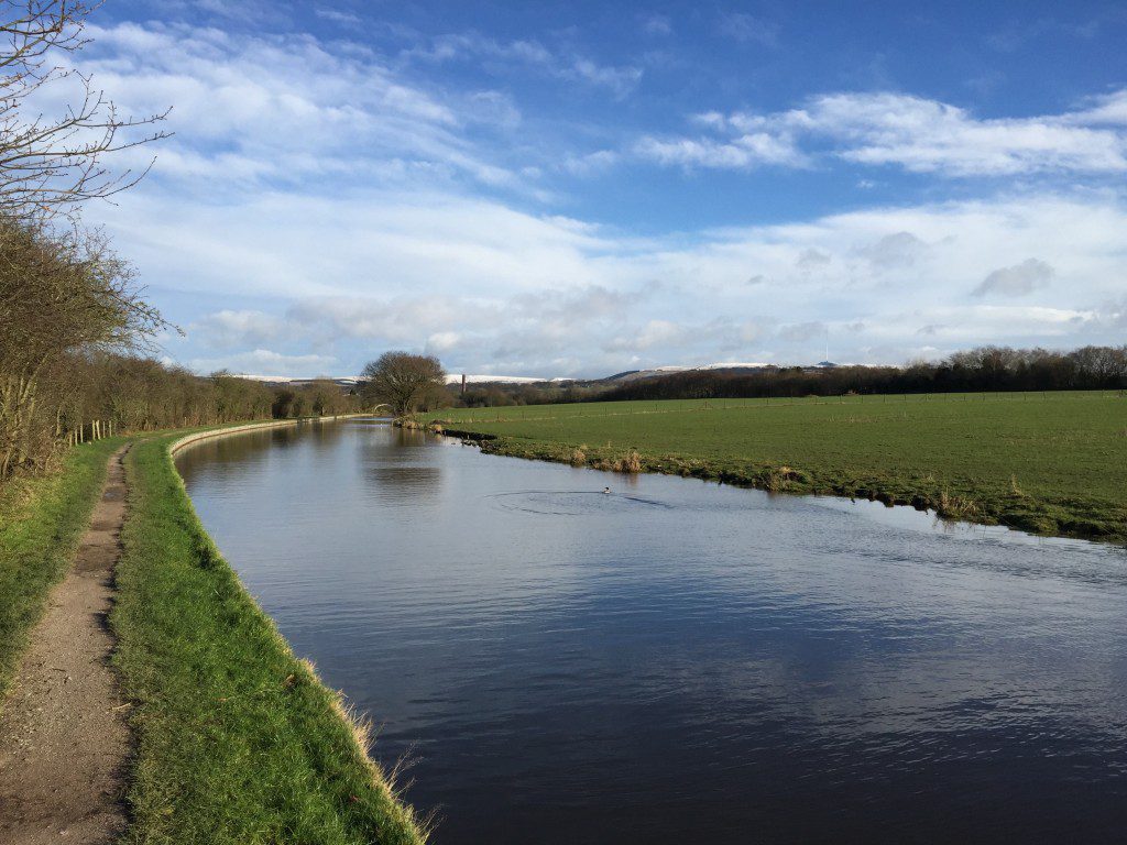
The Leeds Liverpool canal approaching Adlington – the canal meanders following the contours to avoid the building of locks. Winter Hill still beckons, with a dusting of snow!
Whilst walking along the canal bank look out for the following:
- Just after Bridge 63, on your left you can see Arley Hall, the club house of Wigan Golf Club. This 17th century house has a splendid moat surrounding it.
- You can see the deep sides to the valley below on your left where the Douglas River (the same one!) has eroded deeply into the glacial deposits in this area – more to follow shortly.
- On your right the West Pennine Moors come more and more into view
- There are a number of bridges in this section that appear to have no purpose but were apparently built to give access across the canal to the local landowners – expensive bridges but presumably built to gain the permission of the landowners for the building of the canal.
- A large chimney in Adlington will appear in the distance. This is still in use as evidenced by smoke and belongs to the dyeing and bleaching factory in the village called Pin Croft. Adlington’s development was based upon the waters from the Douglas, which allowed it to concentrate upon these industries together with printing although only the one main factory now remains. adlington.info is a great local website giving much background to the village.
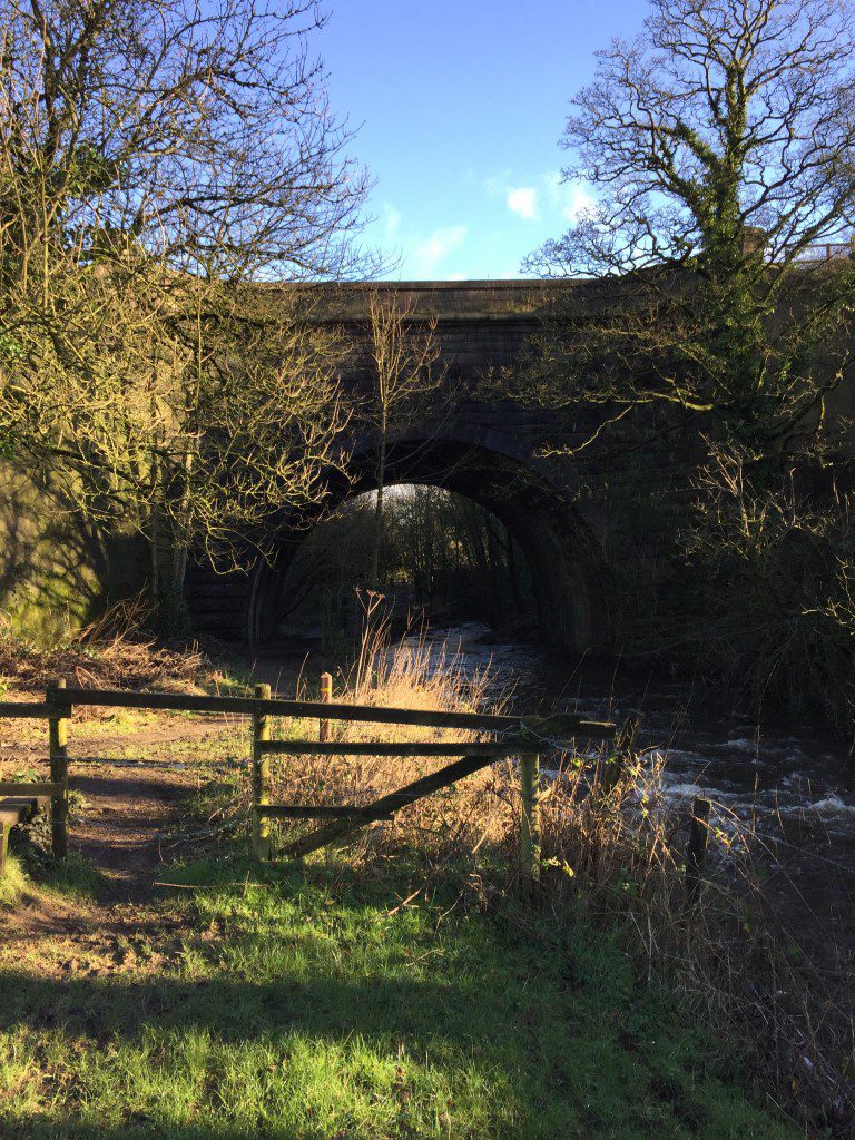
- After almost two miles the canal abruptly turns left and passes over a bridge, which is a single span viaduct over the River Douglas 40 feet or so below. It’s a Grade II listed “building” dating from probably 1795 (there are dates on the bridge) when the canal reached Adlington. Note the deep grooves in the stone walls of the bridge from the ropes which pulled the barges. Please make sure that you descend into the valley to look at this fantastic structure with its huge parapets.
Another dilemma for the route! In fact there were many dilemmas on the next stages of the Way. How do we best travers the valley across to the West Pennines, which only has a limited number of points at which you can cross the M61. And secondly how do I best show off the Rivington/Anglezarke area, which is probably the highlight of the Southern Loop? This would have to include Rivington and Winter Hill (the highest point in Southern Lancashire) and in my view White Coppice, one of my favourite places in the whole of the county. I appreciate that there are several options and would not begrudge you taking your own option dependent upon how much time you have and your physical abilities. There are four options in crossing the M61 that I have considered from South to North, which are as follows
- Use the footbridge near Anderton accessed via the Rotary Way/Anderton Circular Walk, which begins by following the Douglas under Rennie’s viaduct. On reaching the main road (A673) continue straight on into Shawes Drive and what once was the old driveway to Anderton Hall (now demolished) on the banks of the Reservoir. On reaching New Road turn left and then right into Horrobin Lane, which takes you directly into Rivington. I dismissed this route as it is not particularly picturesque, muddy under foot in stretches through Adlington and requires walking on busy roads at the end. The advantage is that it is the quickest route to Rivington, where you can pick up the Lancashire Way again.
- The most direct route to Rivington is to leave the canal at Bridge 69 in the heart of Adlington and then follow the roads through Adlington and then pick up the track to Rothwells Farm (Grid Ref 614138) and then cross the M61 via the footbridge which leads directly into Horrobin Road and then Rivington Village itself. Again this is very urban but does reach Rivington by the most direct route.
- This is the option that I almost settled for. Leave the canal at Bridge 73 and then head eastwards through Chorley Golf Club, Slacks Farm, crossing the M61 on the road bridge near the Bay Horse Inn, which then leads to Horrobin Lane. This then allows you to cross to Rivington to pick up the Way on the east side of the reservoirs or to head up the reservoirs on the west side on the full route. The advantage of this is that it has the maximum walk along the reservoirs including the excellent views from the west side across to Winter Hill and Rivington Pike. It also does not miss out on Fredericks Ice Cream Parlour. However, the route across to the reservoirs is tortuous and with little merit so hence on to my fourth option below.
- My preferred route and final choice is to continue on to Bridge 74, cross to the east side of the canal, over the railway and the River Yarrow via a small footbridge and then through fields to Limbrick, ending at the Bay Horse pub. Turn right into Back Lane and the M61 can then be crossed underneath the huge bridge, which carries the motorway above you. And then follow the road to the track at Kays Farm (Grid Ref SD 612164) to continue northwards along the side of the reservoirs.
Hopefully you will concur with my conclusion, which took much deliberation to reach.
So back to the Rennie’s viaduct on the Leeds Liverpool canal on the outskirts of Adlington!
Continue along the tow path until you reach Bridge 73. Note the following on this stretch of the canal
- This is a very busy part of the Leeds Liverpool canal with the White Bear Marina in the centre of Adlington followed by a number of miles of permanent moorings on the opposite side of the canal.
- Shortly after Bridge 70, you will hear heavy machinery to your left. Do take time to see if you can see the huge sandpit, which is being quarried and is one of several in this area. These are fluvioglacial deposits i.e. from rivers associated with glaciers from the last Ice Age, which are extensive and very thick in this region.
- In addition to quarrying for sand there are extensive coal deposits beneath the superficial glacial deposits. These are an extension of the Wigan coalfield. Just after Bridge 72 there is a embankment to your left which is the remains of a small railway which serviced a colliery just to the west of this point.
- Bridge 72a is huge modern bridge, which carries the A6 road. Ignore the sign that says “Welcome to Lancashire” – you have been in Lancashire all along!
After passing under Bridge 73 you will see a signpost directing you to Frederick’s Ice Cream Parlour. Follow the lane to the A6 and the shop – the business was first established in 1896, when three brothers walked from Italy to England to seek work and a better life. In 1936, the grandfather of the current owners married into another Italian family, called the Massas, from Chorley and thus ice creams were first sold from the current site. I remember stopping off to buy their lovely icey white ice cream back in the 60’s!! See www.fredericksicecream.co.uk
END OF STAGE 10 – There is a hotel (Plaza Hotel by Best Western) just further north on the A6 (10 minutes’ walk) for accommodation and there are other alternatives back in Adlington and Chorley and its surrounds. Chorley has a railway station to Preston, Bolton and Manchester.
Click here to go straight to Stage 11
CIRCULAR/DAY WALKS
It is difficult to complete this in one short walk as the stage itself is 6.75 miles so in its simplest form by just returning in reverse the walk would be 13.5 miles long. Therefore split the walk into two. Walk to Adlington, which is just under 5 miles. Return either by Crawshaw Hall and the Worthington Lakes or Little Scotland, Toddington Lane and Copperas Lane making the days walk around 10 miles. There is a car park at Haigh Hall – charges apply.


