STAGE 13 – RIVINGTON to the A675 near TOCKHOLES
7 miles – 3 hours walk.
1,555 feet climbed – highest point 1,495 feet – Winter Hill
Some real hill walking but first the gardens of Lord Lever- Hulme and two follies. Magnificient views in all directions from Winter Hill, with its distinctive TV mast, which we have had sight of on most of the stages before today – weather permitting! The highest point on the Southern Loop and indeed in the whole of South Lancashire.
A map of Stage 13 can be found below courtesy of Ordnance Survey maps. You can subscribe yourself using this link, https://osmaps.ordnancesurvey.co.uk, which will enable you to import the GPX file which can be downloaded below.
Download file for GPS
To download the GPX file for this stage click on the link above.
ROUTE DESCRIPTION
From the green in the village of Rivington, head south along the main road past a small number of properties. After the last, you will see a stony track on your left. Take this and follow it in an approximately easterly direction for about 400 meters until you reach a car park and Rivington Hall Barn. Depending upon the time of day and day of the week you are likely to be greeted by numerous motorcyclists, who often congregate here especially on a sunny weekend – there can be quite a cacophony of voices, laughter and of course engines.
The barn is one of two on the Lord Leverhulme Estate in Rivington and may date back to the 9th century but is more likely to be from the 16th century. From the outside this appears unlikely as it was renovated in 1905 but do pop inside and observe the huge wooden cruks which support the building and you can imagine a much older origin. Next to the barn is Rivington Hall, a very modest house and now a series of private apartments. The Georgian frontage was built in 1774 but the presence of a property was first recorded in 1477, when the estate was acquired by Richard Pilkington and he built a new structure on the site. Although this was the original house of the Rivington Estate, it was retained by the owner, when the land and remainder of the estate was sold to William Lever in 1900.
William Hesketh Lever is probably Bolton’s most famous son. He was the seventh child and first son of a Bolton grocer. He joined the family business when he was 16 and married Elizabeth Hulme, who lived on the same street in Bolton. He attended the local Congregational Church, which probably gave him many of his ideals, which he practiced in his subsequent business career and led him to become one of the great social philanthropists of the era. In 1885, with his younger brother James, he entered the soap business when he bought a small works in Warrington. Shortly afterwards they developed a new form of soap made with palm oil and glycerine rather than tallow. With his business and marketing acumen, they were soon selling the honey or “Sunlight” soap into over 130 countries. This success required expansion and they purchased 56 acres of land and developed the model village of Port Sunlight for his workers. Schools were built to educate 500 children. For women and girls, special classes were offered in cooking, dressmaking and shorthand.
In 1906 William was elected to parliament as a Liberal MP in the constituency of the Wirral. He later became a Lord and added his wife’s surname to his to become Lord Leverhulme.
By 1909, there were 700 cottages in the village, a concert hall and theatre, a library, a gymnasium and an open air swimming pool. Rents were one fifth of the weekly wage. All the houses had running water and even bathrooms. But strict ethical rules had to be observed.
New products such as Lux, Vim and Lifebuoy were added. Although he died in 1925, the company continued to grow and by 1930 the company was the largest in Britian with over 250,000 workers. Later that decade it combined with a Dutch company to become the international conglomerate that is Unilever.
The Rivington Estate was originally 2,100 acres in total although large parts of this were compulsorily purchased by Liverpool Corporation in 1902. Over the first 10 years of his ownership of the Rivington Estate, he created Roynton Cottage, the terraced gardens and finally the Pigeon Tower. Presumably the estate was a retreat for the Lord and his wife. Roynton Cottage was replaced by the Bungalow, his main residence on the Estate. Whilst William Lever was a friend of the working man, his progressive views on the workforce were not enough to protect his property from being targeted by the feminists of the day. Suffragette Edith Rigby, from Preston, burnt his bungalow to the ground to attract publicity to her cause of giving women the vote. Her 1913 arson attack destroyed valuable artwork and caused thousands of pounds of damage. Eventually, in 1918 women over 30 were given the right to vote as long as they met certain property qualifications.
The Lever Brothers were part of the huge change in landowning classes from solely the aristocracy to increasingly the new entrepreneurs of the day. To a large extent, it meant one set of rich people, the estate owning elite, being replaced by another, the nouveau riche.
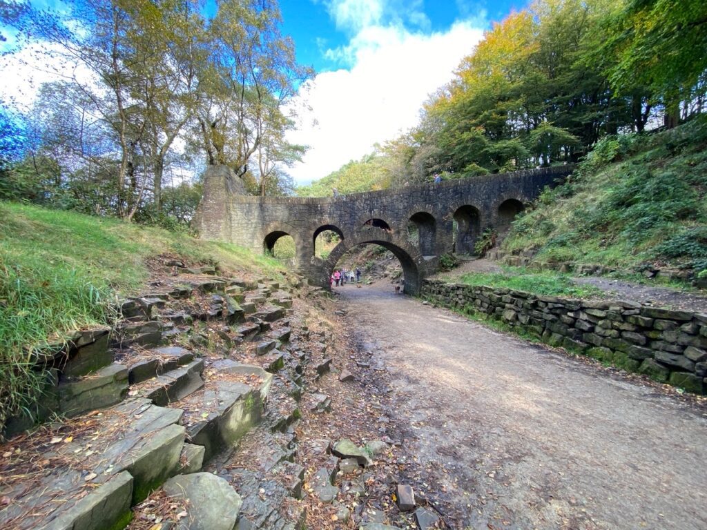
Pass behind the Barn and Hall and continue straight on through two sets of gates and then head through the field toward the steep slopes of Rivington Moor, which are occupied by the Rivington Terraced Gardens. Pass through the gate into the gardens and take the first path on the left. Ascend the side of the hill. There are many paths and it is not easy to follow my route but whichever way you take if you continue to climb you will eventually reach the track at the top of the hill. However, in order to see some of the key sites please ascend and always bear left when there is an option to do so. When you reach a flat area look out for a set of steps on your right with a brick archway. Turn right here, which will take you over the seven arched brick structure as it passes over another track below.
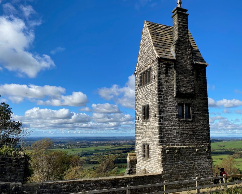
Follow the formal steps until you reach another flat with ponds. Turn left and follow the path to the end where you reach another building with steps, ascend the steps and you reach the summit by the distinctive Pigeon/Dovecote Tower. The third floor, with four mullion windows, was a sitting room used by William’s wife for sewing and embroidery.
In January of 2016, the Rivington Terraced gardens were awarded a grant of £3.4m by the National Lottery to conserve, repair and protect the gardens and structures such as the seven arched bridge and Pigeon Tower.
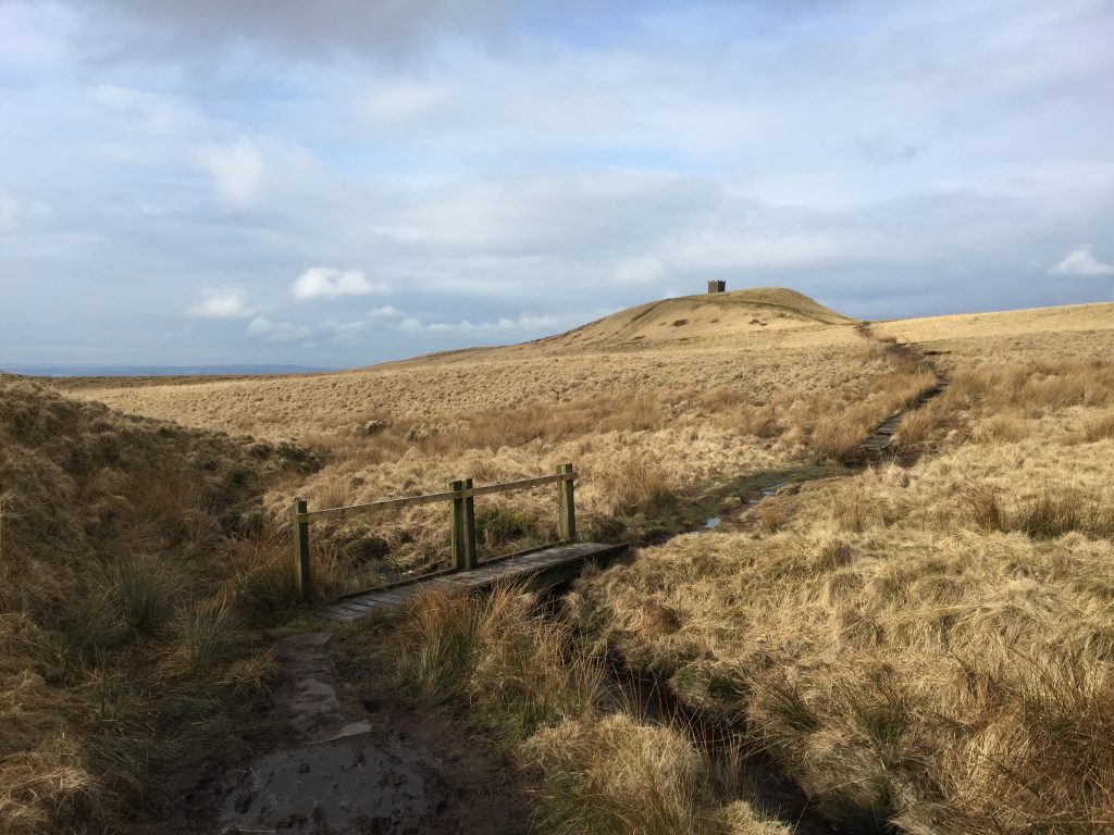
From the Dovecote take the track south looking out for the monument on top of Rivington Pike. However, before you take the track on your left, which takes you to the top of the Pike, descend a little back down the hill to find the site of the Bungalow. In one part you can still see tiles on the floor from the original house.
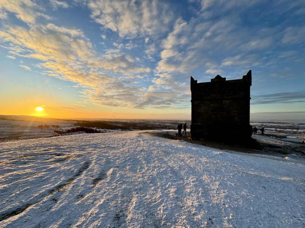
Return and make your way to the top of Rivington Pike. The pike was another site of a beacon, which apparently dates back to the 12th century and was, like Ashurst’s Beacon, prominent in the Anglo Spanish War in the 1580’s. The stone structure on the summit is an 18th century Hunting Lodge, which has a fireplace and cellar, but unfortunately the door and windows have been filled in to prevent vandalism.
Descend from the pike on the east side and find the gate, which takes you through on to the open moorland.
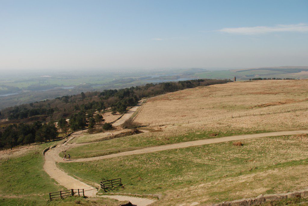
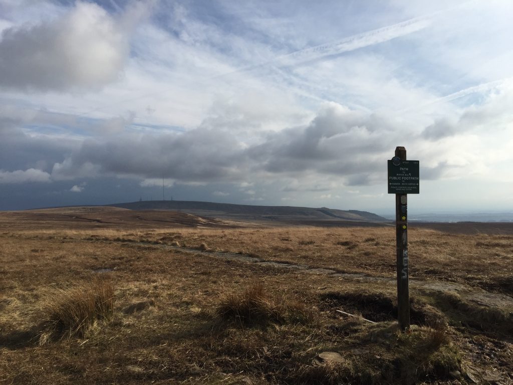
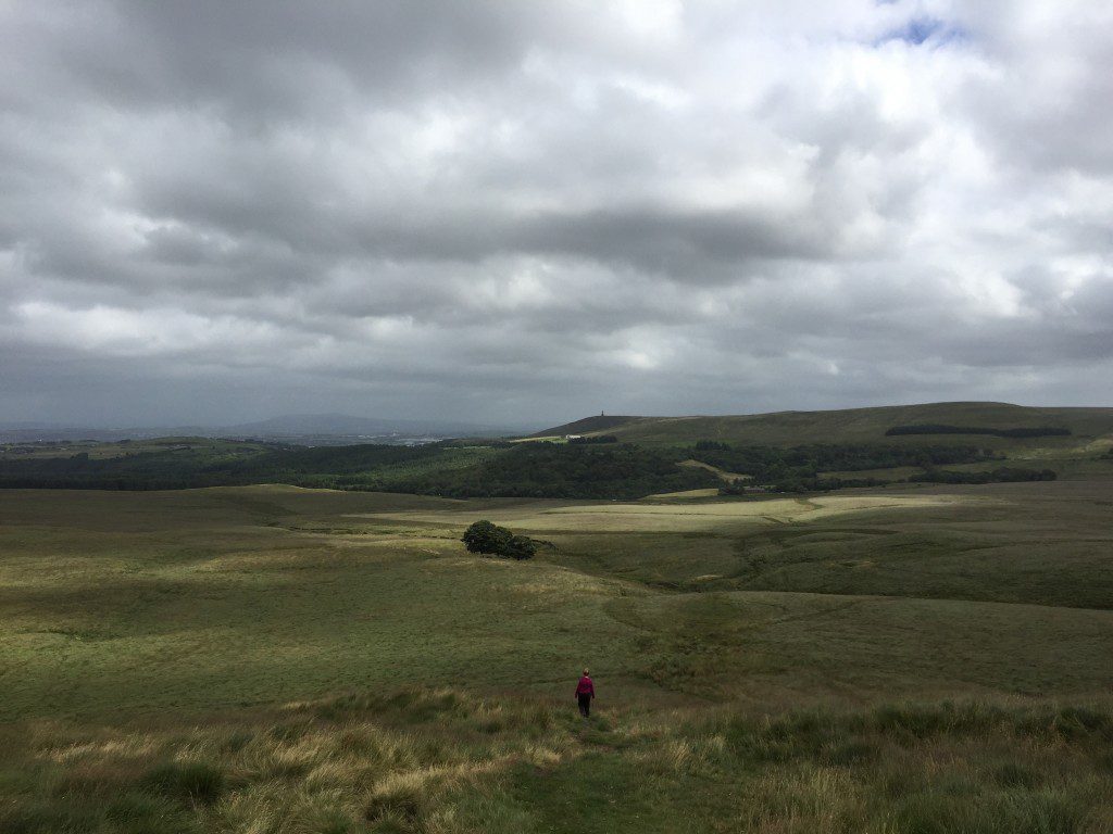
If the weather is good you can see the wide path (see photo above), which takes you to the huge TV mast on the summit of Winter Hill. The path is muddy in parts and not always distinct, as it can be quite wet and boggy and hence walkers try to navigate as best they can across the moor towards the mast. If misty continue in an ENE direction and you will eventually reach the summit and the access roads to the various masts – 8 in total!
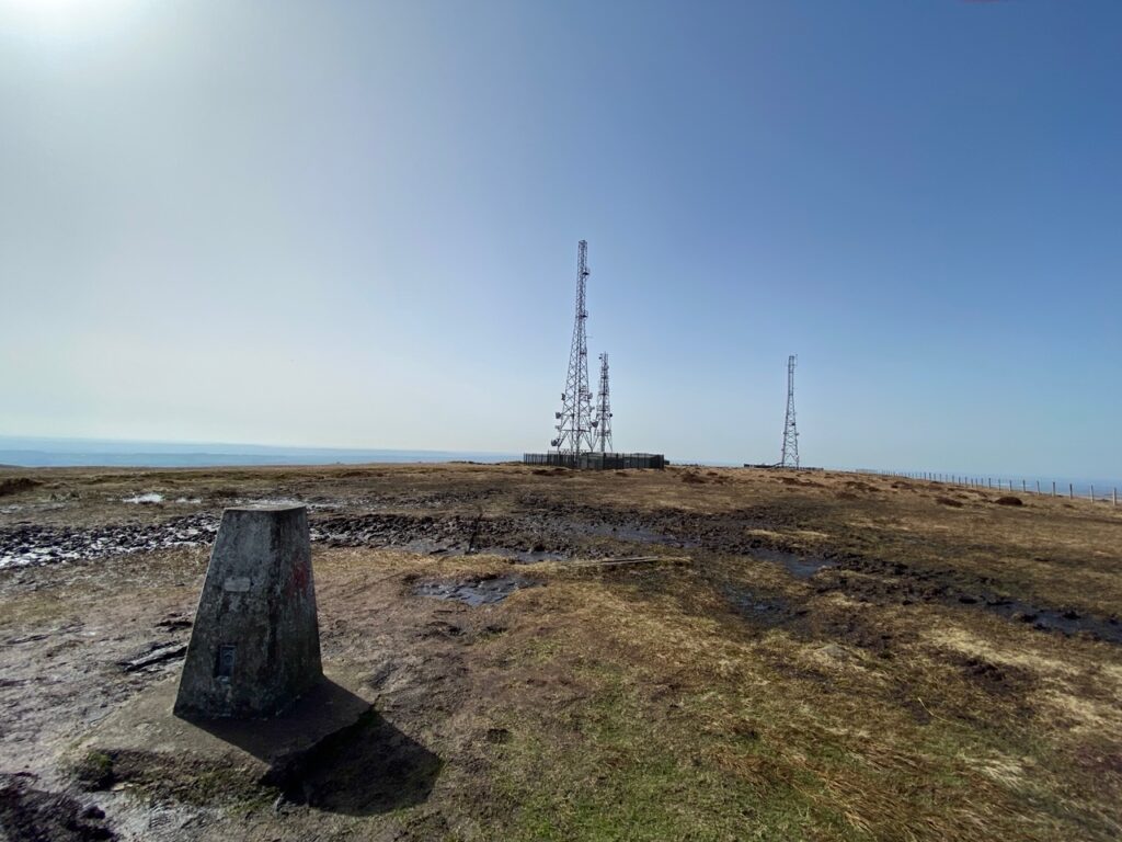
Take the access road past the largest of the masts and then follow the road around to the left towards a series of other aerials and masts. To your right you should be able to see the trig point, which at 456m (1,496 feet) is the highest point on the Southern Loop.
The TV mast was first built in 1956, but was subsequently increased in size and is now 1,015ft high. It is tubular in design, 9ft wide, which allows maintenance from within the mast. It is secured by huge metal wires. The top of mast is 2,553ft above sea level and is one of the largest structures in the UK.
You now need to descend the hill by the steep north-facing slope to the back of the masts. There are a number of paths but please take care with all, as they are steep and often have loose rocks under foot. The best can be found by following the tarmac track to the very end where there are three smaller masts. To the right you should find two kissing gates. Take the second and then follow the fence which makes its way diagonally down the steep slope. At the bottom follow the stone boundary wall across the moorland for almost a kilometre to the road.
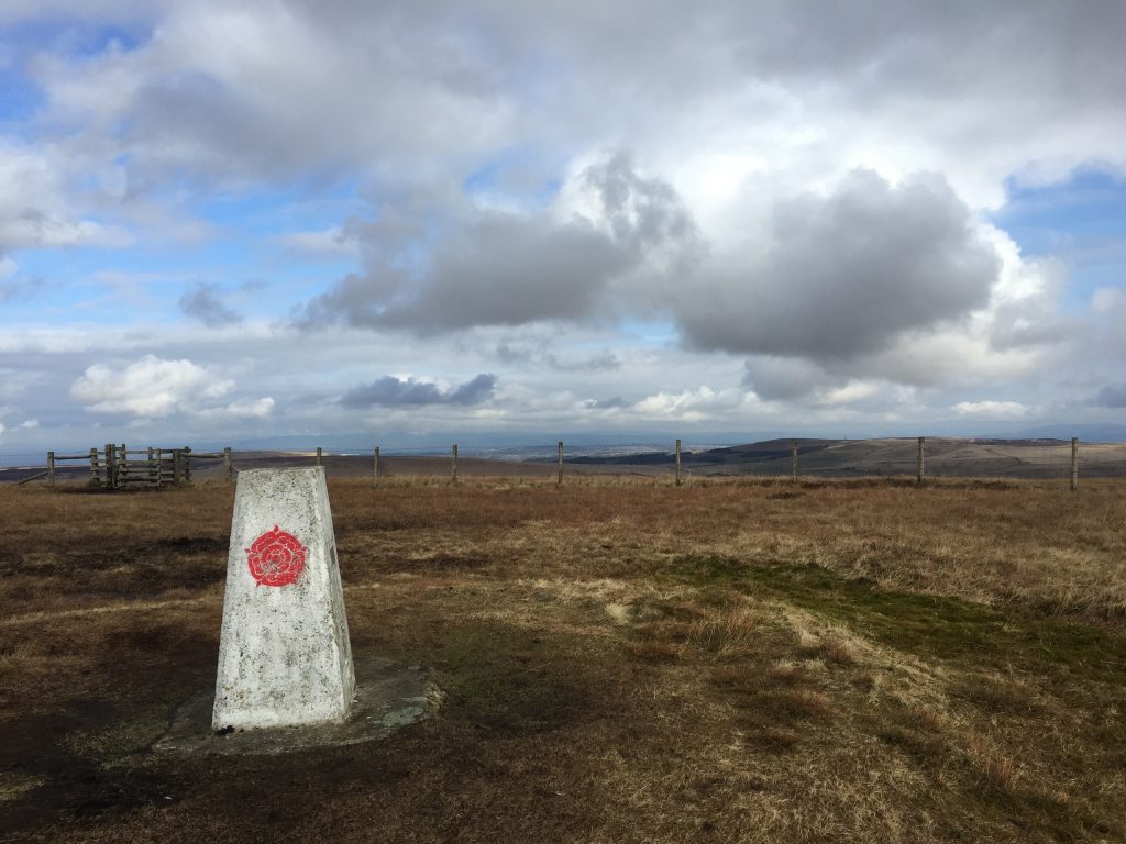
Cross the road and pass through the gate and continue along the path in the same approximately northerly direction keeping the boundary wall to your right. This used to be a grassy and in places a very boggy path but it has recently been replaced by a welcome stone one, including in sections made from old reclaimed flags. This is very reminiscent of parts of the Pennine Way. Follow this all the way to the summit of Great Hill – 381m high.
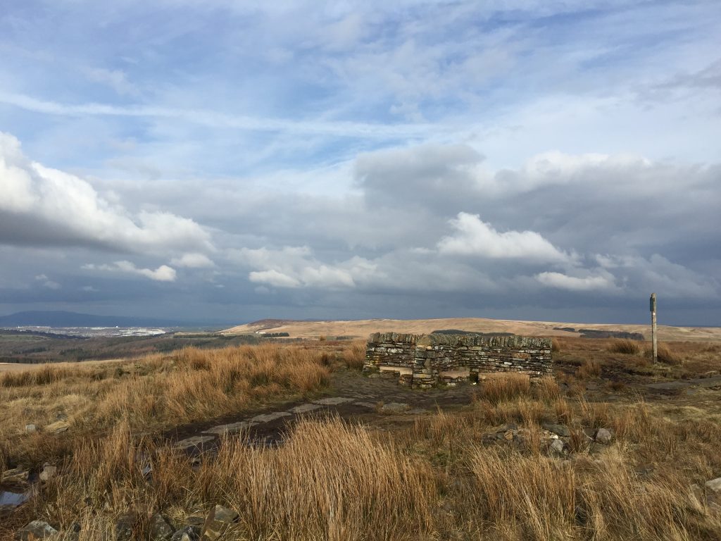
It is about 3 kilometres from the road to the top of Great Hill. There is an excellent shelter on the summit, in shape of a cross, giving four distinct stone seating areas, which might give welcome rest from the strong winds which blow directly off the Irish Sea. There are excellent views in all directions, including the Bowland Fells and Pendle Hill behind the town of Blackburn.
From the summit take the path which heads in NE direction along the top of the hill. The path can sometimes be both indistinct in parts and wide in other parts but just head NE along the top of the spine of Great Hill. Before long the path descends the rear of the Great Hill and when you reach the bottom of the steep slope the path splits into two. The left hand one heads towards a group of trees. However, take the right hand path which heads down to a stream via a stoned staircase-like path. Cross the stream and over the stile and then head through the boggy fields towards the property known as Piccadilly, which sits on the A675 Belmont Road.
END OF STAGE 13
This is probably the most difficult end of any Stage in terms of obtaining accommodation. I therefore recommend if at all possible that you combine this Stage with the following Stage 14 so that you end up in Abbey Village at the end of the day. However, the two Stages together are 13.1 miles with some of highest climbs on the Southern Loop so this may not be possible. If this is so I suggest that you opt for the taxi but as mobile phone signals are not the best at the end of the Stage you may want to book in advance. The nearest hotel (4 miles) used to be the Grill and Grain Inn at the Boatyard near Riley Green but unfortunately this was burnt down in the Spring of 2017 and rebuilding work has still not begun. The alternative is the Oak Royal Hotel at Withnell. This is actually only about a third of a mile off the beginning of Stage 15. There are bus services from nearby Abbey Village to Chorley, which again is probably the best centre to head for with a Premier Inn (Chorley North) only 6 miles away.
Click here to go straight to Stage 14
CIRCULAR/DAY WALKS
Complete most of the Stage but at the summit of Great Hill descend into White Coppice and then return to Rivington via Stage 12. Total distance is 12 miles. Free parking is available in Rivington and White Coppice.

