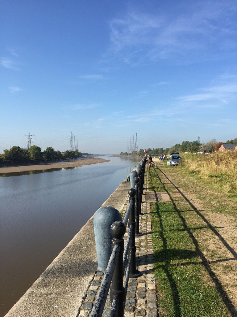
The Bull Nose on the opposite side of the River Ribble to the walk with the many electricity pylons in the distance.
STAGE 2 – PRESTON to the start of the RIBBLE WAY
6.25 miles – 2.0 hours walk.
143 feet climbed – highest point 58 feet
Following the River Ribble through Preston, its old Docks and then into its Estuary, before turning south along the course of the River Douglas. We will come across this same river on a number of occasions later in the walk! We are actually walking the first section of the Ribble Way but in the wrong direction. The whole of this Stage is largely at sea level!
ROUTE DESCRIPTION
This Stage begins by following the path and road (Riverside) on the northern bank of the Ribble, following its course downstream.
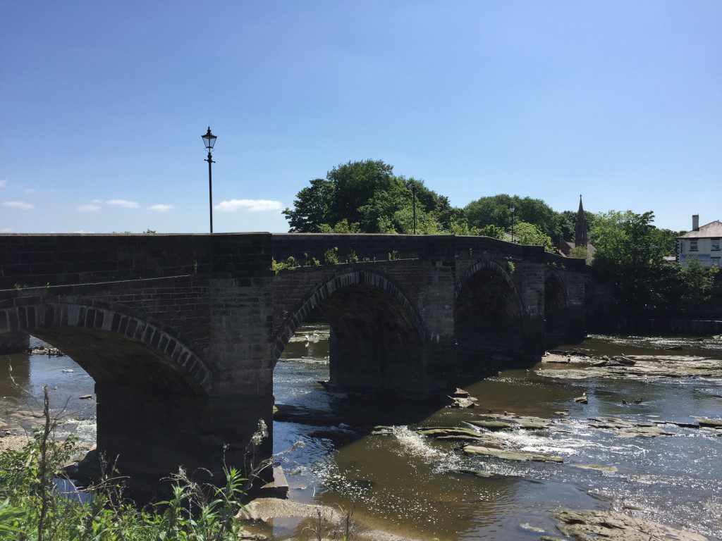
Continue along the right bank of the Ribble (Broadgate) to the main road bridge and use this to cross to the other side of the Ribble. Immediately after crossing the bridge take the road (no traffic!!) on your right, through the gates and continue heading along the riverbank in the direction of the sea ie continuing down river.
The “road” we follow is beautifully lined with lime trees and its originally purpose will soon be found. There are initially allotments to your left and then we pass under the newest (but possibly not for long) bridge over the Ribble into Preston – we have so far seen seven bridges since we started less than an hour ago! To your left is a steep bank, upon which the village of Penwortham stands including its church and Priory. The settlement was listed in the Domesday book with its important position guarding the most westerly crossing point of the Ribble and the estuary itself. In the church yard (St Mary’s), just above us, is a mound on which once stood a motte and bailey castle which was built in the post Norman Conquest period.
Prominent on the skyline across the river is the spire of St Walburge Church with its magnificent and beautiful spire. At 309 feet high, only Salisbury and Norwich Cathedrals have higher ones in the whole of the country. The church dates back to 1854 and the tower and spire were added between 1867 and 1873 including a 25ft high window. Inside is one bell weighing 1.5 tonnes, the heaviest in Lancashire.
Before long you will be able to see the high stone walls on the opposite bank, which presumably ships would dock against and unload their cargo before the trains took the goods a short distance into Preston and the main West Coast railway for distribution around the country. You may sometimes hear the whistle of a train and smoke rising from the other side of the river as there is the small Ribble Steam Railway here – the remains of the dock railway.
Behind this are the docks themselves, which unfortunately we cannot see. In fact the River Ribble used to run behind the docks and therefore this section of the river is actually manmade, with the river being diverted shortly after we crossed the Ribble after Broadgate.
Also note the first electric substation, which will become a bit of theme on this section of the walk. Shortly after this the road arcs in a semi-circle. At this point find the information board by the edge of the river, which will reveal that this was the site of two electric power stations called Ribble Generating Station 1 and 2, which fed Preston and the surrounds. There was a conveyor belt across the River, which brought coal from the docks to the power station. Apparently, there was also a cooling pipe which went under the river and used the water in the docks as a source of cooling, which sometimes resulted in steam rising from the waters in the docks. However, both were closed with the development of the National Grid and dismantled in the mid 1980s. Also look out the carvings of wildlife, which frequent this part of the River.
The tarmac road finishes at another substation and then becomes a dirt track.
The track follows the line of various pylons then runs out at a kissing gate. Pass through this and take the path on the left, which takes a higher route giving better views of the both the river and Penwortham Golf Course to your left.
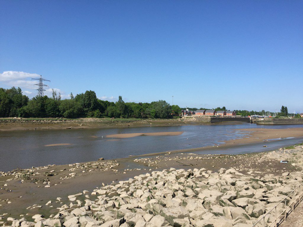
Further along this section you should be able to see the “Bullnose” on the opposite bank, where the dock walls end and which marks the entrance to the docks at Preston. Although we cannot see the docks you should have been able to see vestiges of it such as the Boat Lifting crane. It has an interesting history.
Albert Edward Dock, named after Queen Victoria’s husband, opened in 1892 –and at that time it was the largest single dock in the country and still is one of the largest. In 1948 the dock was the first to introduce roll on roll off traffic. By the 1960s the port held the record for the handling the largest amount of container and ferry traffic. Traffic reached a peak in 1968, when 500 dockers were employed and 1,437,000 tons of trade passed through the port (16% of the then UK total). Cotton and wood pulp were the most important cargoes landed here. As the size of ships increased, fewer could use the dock. At the same time, the import of traditional cargoes decreased, and the cost of dredging silt from the channel increased. The early post-war advantage of being the pioneer in roll on roll off operations was lost to competing ports which could offer faster turn round time. In the 90 year history of the port, it only made a profit in 17 years. In 1979 the commercial port was closed and a decision was made to redevelop the site. The dock basin is now pleasant mix of offices, apartments and retail stores.
Continue along the edge of the river. At one point you enter an overgrown bushy area and the path splits in to two. Both end at the same point but the right hand one was the less over grown. Exit this area into an open flat wide bank, which is a man made embankment, which forms part of the flood defence of the lower Ribble. We have now finally left Preston – an interesting start to our walk. Look back up the River to see the town in the distance and also the prominent four white metal towers that form part of Deepdale, the home of Preston North End. Farewell Preston – but if you do have time to find more about this honourable town, then www.madeinpreston.co.uk is a great starting place.
Shortly after this you pass under four huge pylons which take electricity cables over the Ribble, presumably so high as to ensure that they were well above even the largest ships, when the Docks were in their heyday. One of these comes from the nuclear power station at Heysham to the north. This whole area seems to be a key junction point of the National Grid, presumably utilising the low ground to the west of the Pennines!
Did I say just before that we had crossed under the most recent and westerly bridge to cross the Ribble – well there are currently proposals to build a further bridge in this area, known as the Howick Cross bridge – see your OS map. So this area might look quite different in the future but apparently not until at least 2026!
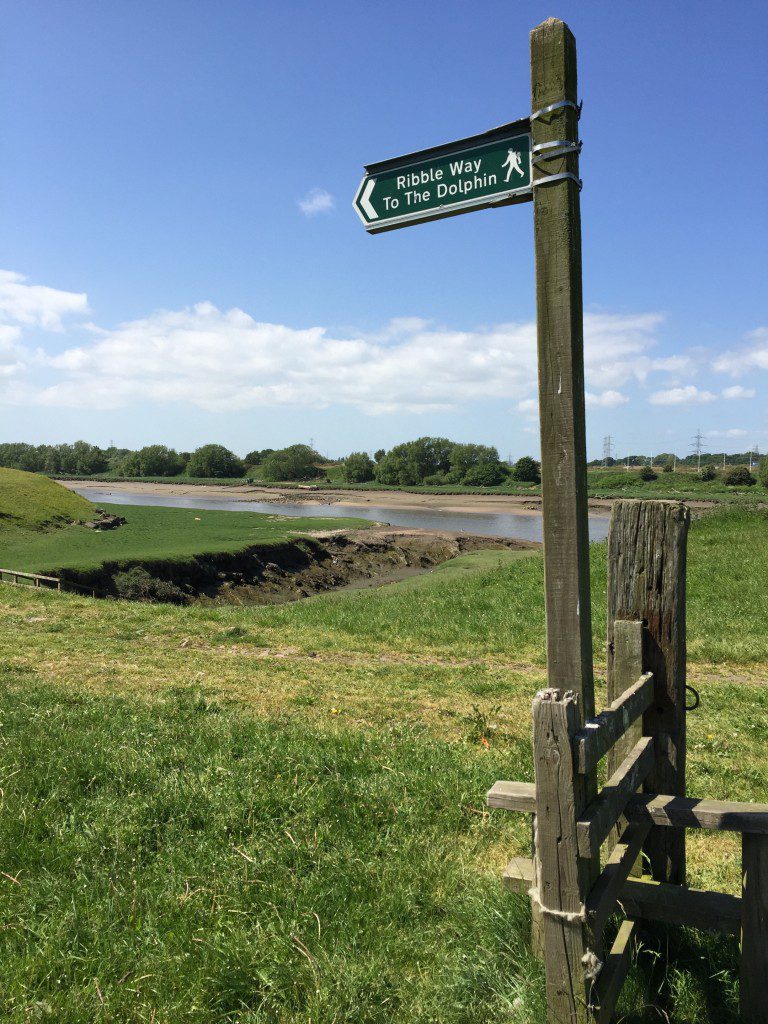
At the end of this area keep on the bank for about 4 km with the river to your right including its high flood plain strewn with debris. This part of the walk follows the Ribble Way and you will see markers for this walk along this stretch with its emblem of three blue wavy lines depicting the river itself.
We finally depart from the river, when you meet a small brick building with a metal tank behind it lying on girders. Shortly after this building you will see a sign stating that this is private farmland. So bear left before the building, cross over the stile and follow the embankment that runs away from the river in a SSE direction past five very distinctive old beech trees. Shortly after these the mound bears right and after about 100 yards another Ribble Way sign points you in the direction of a stile, which takes you off the embankment into a field.
Follow the distinctive path through the field, along a small raised mound, until you reach a small ladder stile at the end of the field. Use this stile to cross over on to a track and then use another ladder stile opposite to cross into the next field. Continue in the same direction along the edge of this field with the boundary hedge and deep ditch just to your left. When you reach the end of this field, exit via the stile and turn right.
At this point there is a confusing array of gates, stiles and fences so please follow these directions carefully or refer to the map. Having turned right carry straight on ahead and find a new kissing gate within 30m or so. Cross through this and then bear left over the track, which crosses the ditch and stream, and find a stile into a field opposite. NB Do not follow the Ribble Way, which follows the embankment along the edge of the ditch in a westerly direction. Our route continues in a southerly direction over the stile into the field and then straight on over another stile into another field and then picks up a gravel path, which makes its way through a clay pigeon shooting range (!). Before long though it deposits us directly into the beer garden of the Dolphin Inn for well-earned refreshments. The Dolphin Inn is the official start of the Ribble Way – all 72 miles of it to Ribblehead in Yorkshire.
END OF STAGE 2
The most accessible accommodation is back in Preston by taxi or bus. For bus services walk into Longton – about 2 miles and there are a number of bus services back into Preston – see Day walks below for more details. In addition there are a small number of B&Bs in the Longton area. When booking do ask the proprietor whether they would be willing to pick you up – often they will to secure a booking although sometimes with a small fee – worthwhile at the end of day’s walk!
For provisions and refreshments, there is nothing en route but it does end at the Dolphin Inn! Consider obtaining provisions in Preston before starting – see Stage 1.
Click here to go straight to Stage 3
CIRCULAR/DAY WALKS
Complete the beginning of Stage 2 and return to Preston either via Grange Farm/Lane and Bottom of Hutton and then back to the Ribble via Howick Cross. Alternatively, you can complete Stage 2 and then follow Marsh Lane into Longton, and then walk back via Hutton and Howick Cross. There are also very regular buses back into Preston Bus Station from Longton, which take about 25 minutes – currently Service 2 – Southport to Preston. At the end of Marsh Lane turn left onto Liverpool Road and the bus stop is in the centre of Longton just after the Booth’s supermarket and opposite St Andrew’s Church. It is just under 2 miles from the Dolphin to the bus stop, so the total walk will be about 8.25 miles using the return bus option.


