STAGE 24 – SLAIDBURN to DUNSOP BRIDGE
10.25 miles – 4.5 hours walk.
1,313 feet climbed – highest point 1,362 feet – Horny Road, Croasdale Fell
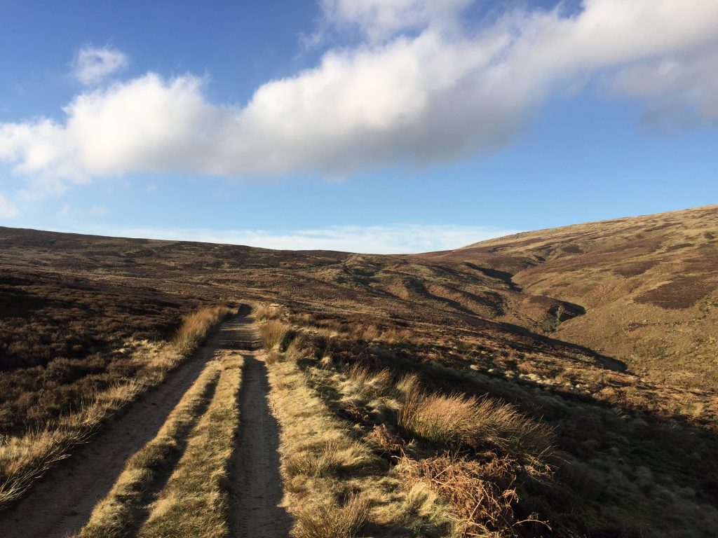
Out of Slaidburn, crossing rolling limestone fields before heading up Croasdale Brook and then the Hornby Road to the head of Croasdale Fell. This is the route of an ancient roman road although there is little evidence of this today. A decision then needs to be taken – take the Northern Extension/Loop and add up to another week onto your journey or descend down to Dunsop Bridge and complete the Central Loop?? Dunsop Bridge is the gateway to the Trough of Bowland and apparently the centre of the British Isles.
A map of Stage 24 can be found below courtesy of Ordnance Survey maps. You can subscribe yourself using this link, https://osmaps.ordnancesurvey.co.uk, which will enable you to import the GPX file which can be downloaded below.
Download file for GPS
To download the GPX file for this Stage click on the link above.
ROUTE DESCRIPTION
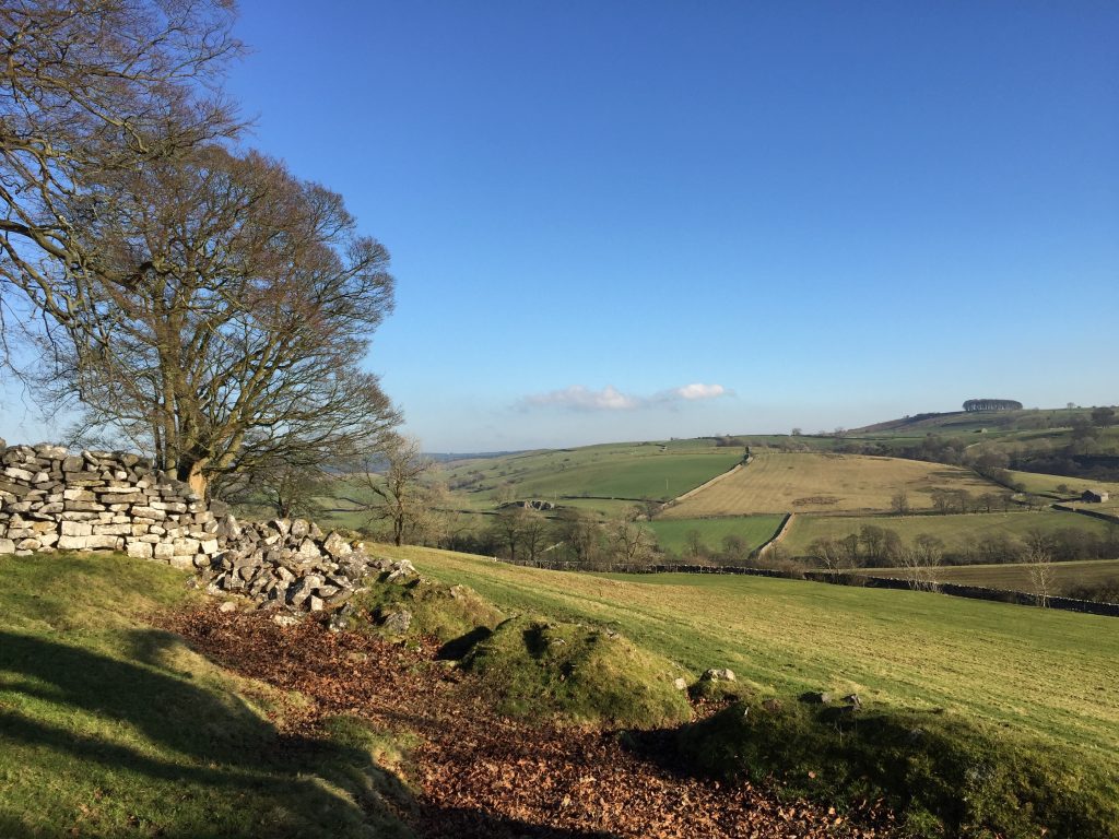
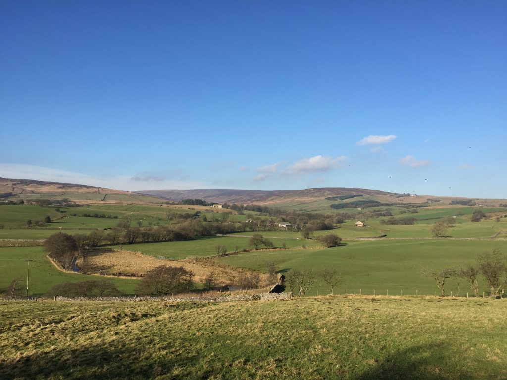
The first part of this Stage is set in the Hodder valley, which is characterized by limestone outcrops and limestone dry stonewalls. It is the presence of the limestone that creates a fertile soil, which gives the greenness to the pastures around Slaidburn, but which quickly gives way to boggy less fertile land as the higher Bowland shales and Pendle Grits are encountered as we climb out of the valley. There are also examples of geological tropical reefs, which were present back in the Carboniferous period and these create distinct rounded hills or knolls, such as Great Dunnow, which we saw at the end of the previous Stage.
Begin at the War memorial. Take the road bearing north signed to Bentham. Pass over the road bridge. If you are not completing the Alternative Stage 24, then IGNORE the footpath on the right just after the bridge, which is marked by a Lancashire Way sign. This is the start of the ALTERNATIVE STAGE 24. The road bends first left and then right. Just after the entrance to Townhead look out for the stone stile in the wall on the left. Cross over and head to the top of the mound directly ahead. Then turn right and follow an indistinct track in a northerly direction. Continue straight ahead, keeping to the left of some small trees and then a couple of walls. Find the top right hand corner of the small coppice, where you will find another stone stile in the wall. Cross over into the field beyond.
Follow the wall on your right and then about halfway along head diagonally across the field to the stone wall ahead. In the middle of this is another stone stile. Cross into the next field and head straight ahead in the same direction, keeping the wooded area well to your left. Use the stile to pass over the next fence and then another stone stile, which deposits you on to a track. However, ignore this and carry on straight again following a mound in the next field down the slope towards a prominent bend in Croasdale Brook.
We will now follow the valley of Croasdale Brook for about one mile onto Croasdale Fell before picking up the Hornby Road over the top of Bowland Fells to the Lune valley.
Look for the stile over the next wall and then head straight on again over the next wall into another field. Head to the left of the farm building, keeping the Brook on your left. Just to the left of the gate at the end of the field is gap in the wall. Use this to cross on to the track, which leads to Shay House on your left. However, we carry straight on again using the kissing gate just to your right to pass into the next field. Join the cement track in this field and follow it all the way to Croasdale House.
Pass Croasdale House on your right and head to the gate at the end of the track just beyond the house and outlying buildings. Pass through the gate and then take the track on the left up the slope. The track quickly stops in the field at the top of the slope. Carry straight on to the fence, which hugs the boundary of the field. There are two options here. The obvious route is to take the kissing gate through on to a track, which descends down to the Brook and crosses it using a bridge. The path is then indistinct and follows the left bank of the brook upstream – it is marked by a black dotted/lined path on the OS Map. It is also very boggy and difficult under foot. The better alternative is to follow the fence northwards on this (east) side of the brook and take up the green marked path on the OS map. Pass through the gate into the next field and then down the slope to another gate, which allows you to pass onto the banks of the brook. Follow the distinct path along the side of the brook for about 150m and then cross the brook – there is no bridge! This is the problem with this option – it may be very difficult to cross Croasdale Brook so on balance I would take the other option. The two alternative paths then join together into one and are shortly marked by a footpath post with a yellow top. The path is now quite distinct with a series of very slippy (careful!) duck boards which help you across the boggy land and more footpath markers.
The path then moves away from the brook and heads up the boggy slope to an indistinct track. Turn right and follow the track through a gate and then on further until you meet the main Hornby Road, marked by another way marker with Croasdale and Salter Fell written on the side.
Pick up the road (a track really – stony for its most part but occasionally concreted or tarmacked) and head NW generally uphill towards the head of the Croasdale Valley. Ignore the track on the right just after “New Bridge” and continue along the Hornby Road. It generally climbs higher and in a bend look out for one of ten markers for the Lancashire Witches Way – this is also the route for a 50 mile walk which was designed to commemorate the four hundredth anniversary of the trial of the Pendle witches. I assume that this was the route to Lancaster for their trial.
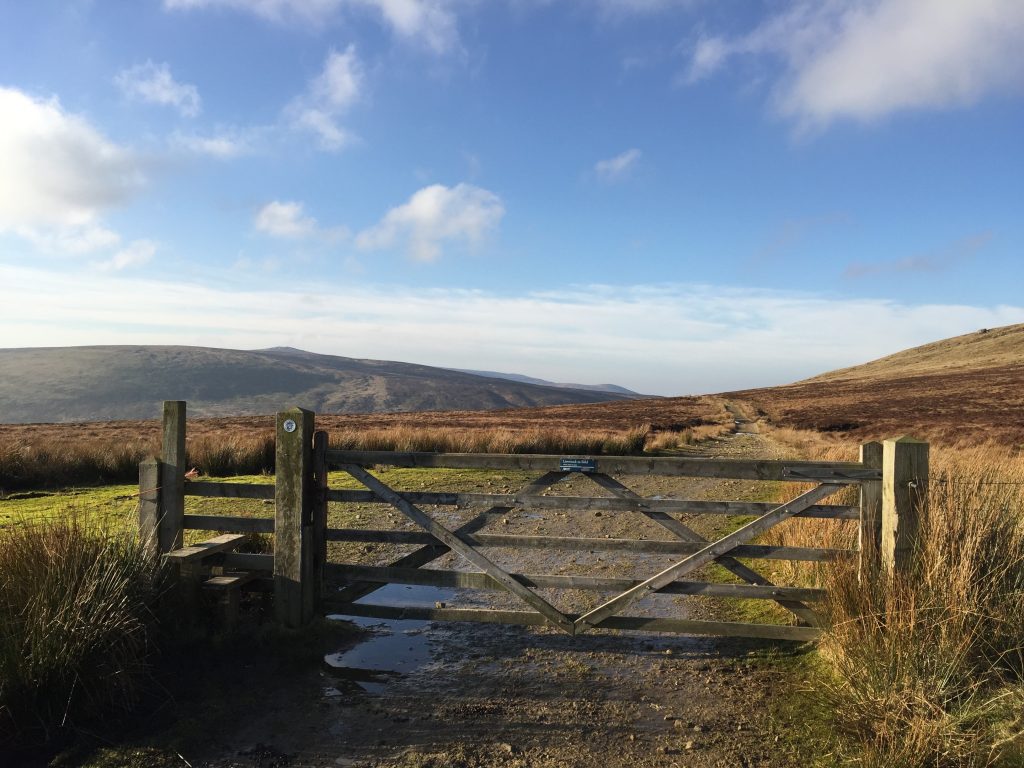
Pass a quarry on your left with a stone building and eventually you will reach a boundary fence with a gate and stile. The climb on to the Fell is now largely finished and the remainder of the day is flat or downhill. The ALTERNATIVE STAGE 24 joins us again at this point and then follows the rest of the original route down to Dunsop Bridge.
After about half a kilometre you reach the point at which you need to decide whether to head south down to Dunsop Bridge, and continue on the Central Loop or whether to carry on along the Hornby Road and complete the Northern Extension/Loop – with some of the very best scenery of the Bowland Fells, including a great 20 mile Stage over the highest peaks of the area.
The remainder of this page assumes that you continue with the Central Loop and end the Stage in Dunsop Bridge and from there head back to Preston. For those of you are intrepid enough to include the Northern Loop or are doing this has as separate walk please go to Stage 29.
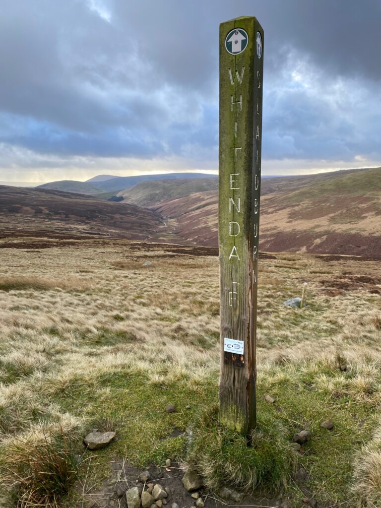
The marker post which marks the turning off the Hornby Road to Dunsop Bridge via Whitendale unless you are going on to the Northern Loop!
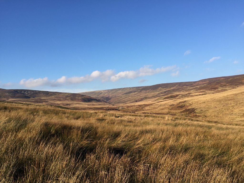
The turning off the Hornby Road is marked by a significant marker post – see photo above. This represents the most northerly part of the Central Loop. Turn left off the Hornby Road and head southwards down the Whitendale valley. The path can be boggy but is distinct and marked initially by a number of yellow topped marker posts. Initially the path descends the relatively steep contours down to the Whitendale River itself and then the path continues down the valley parallel with the river. In a number of places there are duck boards to help pass over the worse parts but do take care as these can be slippy. After about 1.5 miles two small coppices of conifers are met, with a stone boundary wall. Pass through the gate, bear slightly right and look out for a track about 50m from the wall. Follow this straight on down the valley, ignoring some tracks off to left and right. This takes you to the farm at Whitendale.
There are paths which head off to both the left and right from here but we need to continue straight on down the valley. From the side of Whitendale Farm take the track, which goes straight on over a small bridge over a small brook. Join the road and then cross the main river via a bridge. Then continue along the western bank initially gaining some height by climbing up the valley side slightly up and away from the river below to the left. The road then begins to descend back down the valley but continues to follow the river south.
After about a kilometre or so the road comes to a junction. Turn left, descend back down to the river and continue down the valley in a southerly direction as before. Cross over a bridge and pass various United Utility installations and artificial concrete weirs.
Continue for another mile or so and pass Bishops House on the right. After another 400m or so look out for the footpath on your left with a footbridge across the river. Come off the road and follow this footpath and footbridge to the opposite bank. Continue along the footpath to a row of houses and then the path becomes a track. Follow this into the centre of Dunsop Bridge by the Post Office and the road bridge.
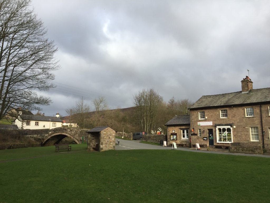
Dunsop Bridge is officially the centre of the UK and Sir Ranulph Fiennes unveiled a plaque certifying this. There is telephone box on the green just opposite the toilets on the car park which testifies to this. It is a pretty village dominated by the two rivers, its grassy banks and many ducks – very picturesque. The Puddleducks Tea Rooms are very popular with the many walkers and the other visitors, who stop off enroute to the Bowland Fells.
END OF STAGE 24
Unfortunately there is no pub in Dunsop Bridge and therefore limited accommodation. The nearest is the Wood End Farmhouse which has two rooms providing bed and breakfast accommodation. It is a few hundred metres outside the village on the road to Newton. Other alternatives are to go back to Newton 2.5 miles away or treat yourself to a room at the Inn at Whitewell, also about 2.5 miles south – a beautiful but not inexpensive hotel on the banks of the River Hodder.
Click here to go straight to Stage 25
CIRCULAR/DAY WALKS
Begin in Newton and complete the last section of Stage 23 to Slaidburn. Then walk the whole of Stage 24 to Dunsop Bridge. From Dunsop Bridge return to Newton. To avoid as much as possible of the main road between Dunsop Bridge and Newton there are two basic options. Keep to the north of the road using footpaths which go via Beatrix, Rough Syke Barn, Bull Lane and then the quiet country lane called Back Lane that then descends into Newton. However, there are contours on this option. Alternatively use the paths on either side of the River Hodder to the south of the road. The quickest are those on the north bank of the river, which end at Boarsden on the main road. There are options to avoid the main road but they are circuitous. Longer but preferable are the paths to the south of the river. Cross the Hodder at Thorneyholme Hall and then use the concessionary track past Knowlmere Manor and then on to Giddy Bridge and the quiet lane at Foulscales. Then head to Newton through the fields by the river.

