STAGE 24 – SLAIDBURN to DUNSOP BRIDGE
18.5 miles – 8.5 hours walk.
2,316 feet climbed – highest point 1,784 feet – White Hill
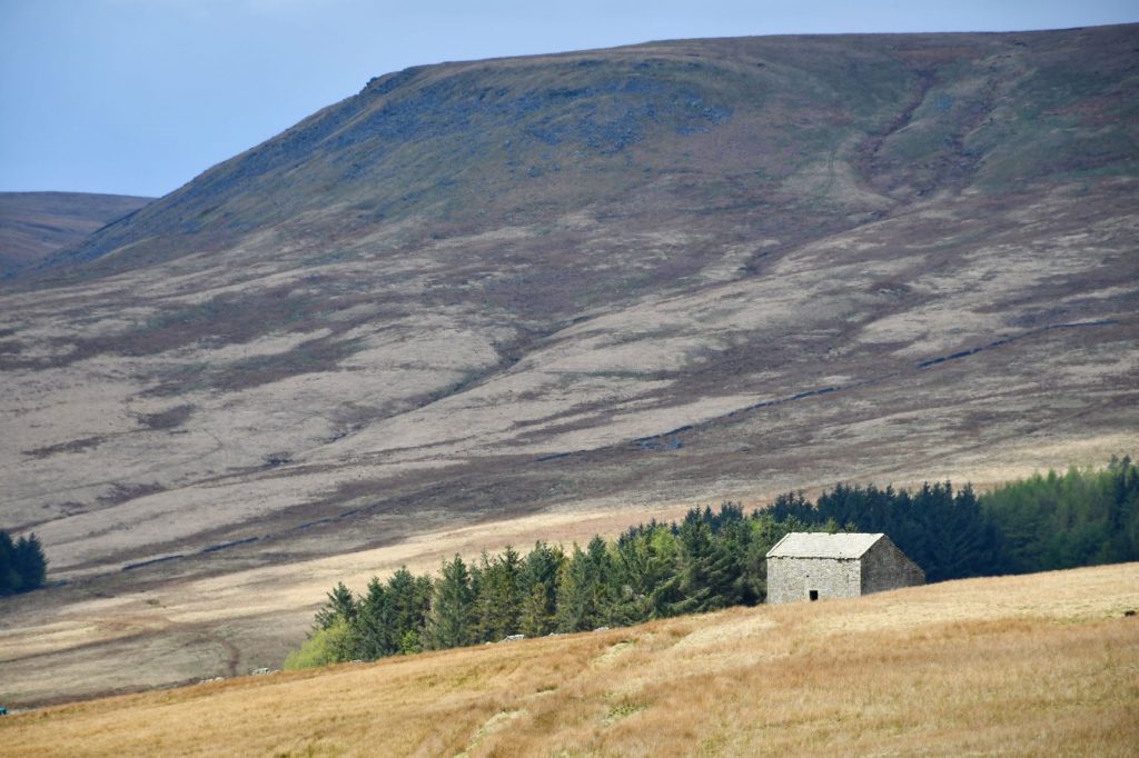
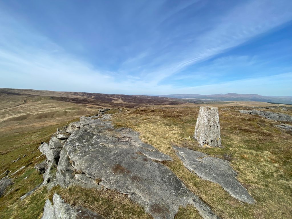
The Stage is one of my favourites with water in the form of the Stocks Reservoir, Gisburn Forest, Bowland moorland and fantastic views particularly over the border north into Yorkshire.
A map of Alternative Stage 24 can be found below courtesy of Ordnance Survey maps. You can subscribe yourself using this link, https://osmaps.ordnancesurvey.co.uk, which will enable you to import the GPX file which can be downloaded below.
Download file for GPS
To download the GPX file for this stage please click on the link above.
Introduction
This alternative stage is a late addition and has been prompted by three key factors
- The Lancashire Way has grown and developed as each Loop has been added. When I finished the last Loop I realised that the route visits all of the seven peaks above 500m bar one. That was White Hill at 544m, which is close to Croasdale Fell on the original Stage 24.
- The original route has a difficult section north of Croasdale House and then a long and laborious trudge up the Hornby Road before venturing south into Whitendale.
- After further exploration I discovered that I could create a better route taking in the lovely and often quiet Stocks Reservoir and some of the better parts of the Bowland Fells including the Bowland Knotts, Raven Castle and of course White Hill.
But at 18.5 miles long it is only for the dedicated long distance walker. Also, the paths are generally indistinct and it is often typical Bowland bog, peat and heather under foot so be prepared as your legs will know about it after this walk. So, if the weather is not good, then it may not be worth it but on a good day the views, especially of the Three Peaks of Yorkshire, are just spectacular and the solitude is just wonderful.
So having made your mind up let’s go and walk the route.
ROUTE DESCRIPTION
The first part of this Stage is set in the Hodder valley, which is characterized by limestone outcrops and limestone dry stonewalls. It is the presence of the limestone that creates a fertile soil, which gives the greenness to the pastures around Slaidburn, but which quickly gives way to boggy less fertile land as the higher Bowland shales and Pendle Grits are encountered as we climb out of the valley.
The alternative Stage begins at the War Memorial in Slaidburn and starts off by heading north on the Bentham road but departs from the original route almost immediately as we turn off the road just after the bridge and use the stile to enter the field on the right by the river – Croasdale Beck. Head straight on gradually coming away from the river and head for a gate at the corner of a wall. Pass through the gate and carry straight on following the wall on your left and shortly after that you will come to a track. Turn right and follow the track over the bridge (Holmehead Bridge). Turn left and then follow the white stony track for about 700m to a gate on the edge of the farm which houses Hammerton Hall. Pass through the gate, carry straight on and after 25m turn right and follow the track up a slope away from the buildings.
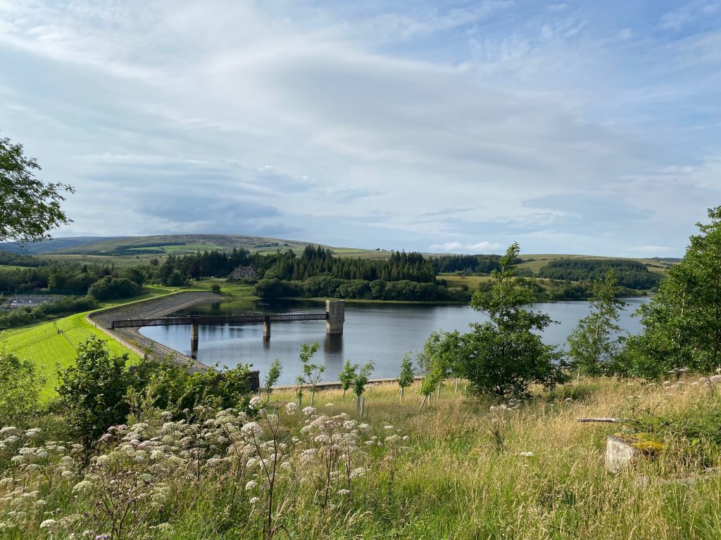
You then come to a junction with three gates – you may be able to see a fourth on the right. Go straight on and pass through the second gate from the left. Carry straight on with the fence on your right to another gate. Pass through this into another field. The OS map shows the path continuing to the top of the field then turning left and following the top boundary and then at the next corner turning left again until you find a stile. Or you can bear left and head to the fence on the left side of the field and the stile. From here you get your first view of the Stocks Reservoir and its dam.
Cross over the stile, head down the slope to another stile. Cross over this and head down to a track, with a gate giving access to the dam on your left. We are now going to turn right and then follow the track, which is part of the Stocks Reservoir Path or Circular Walk. We are going to follow this for the next 3.5m to an old abandoned building called New House but before starting off on this then please do take the opportunity to visit the dam wall with its valve tower. There are steps up from the track.
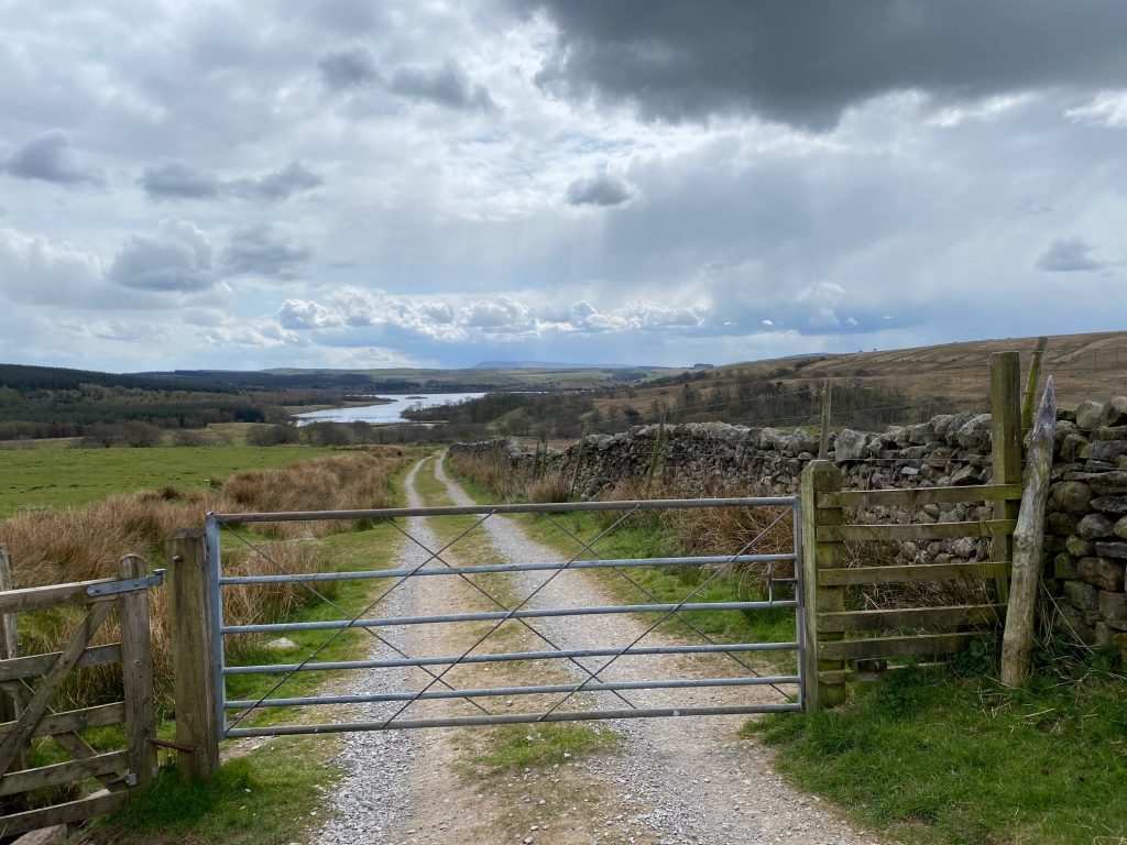
So, we start heading north along the side of the reservoir using the Stocks Reservoir Path, which is well signed so you will not see many Lancashire Way signs. After about 1 mile you will come to a large gate and enter a semi wooded area, which then comes out near a road. We have now entered Gisburn Forest, with its many mountain bikers and run by the Forestry Commission. Turn left at the road and pick up the path on the left which runs adjacent to the road. This comes out at the Causeway. Cross the Causeway and then again use the path on the left, which runs through the edge of the forest adjacent to the road.
This time the path exits on to the road by a car park. Enter the car park and make your way to the pedestrian exit in the top left hand corner.
However, before carrying on the route you should investigate the various information boards and ruins as these are the remains of a church which is one of the last remaining visible part of the hamlet of Stocks before the valley was flooded.
HISTORY
The hamlet of Stocks was first recorded in 1242, when it was little more than a few farms. By 1900 the village consisted of just three cottages, a post office, a smithy and an Inn. These served the wider community of Dalehead. The church, vicarage and school, all built in the nineteenth century stood a little apart the centre of the hamlet but had to be demolished to protect the quality of the water.
The reservoir was opened in 1932 by the Fylde Water Board by flooding the Dalehead valley and the surrounding farmland, including the hamlet of Stocks-in-Bowland from which the reservoir derives its name. It took 22 years to build. At the peak of the construction project, over 500 men or navvies worked there and most of them lived in a temporary village called Hollins. Prince George officially opened the reservoir by unveiling a commemorative bronze plaque.
During the construction phase, the reservoir works were the site of an extensive 3 foot gauge railway system which linked the dam works with a railhead on the Long Preston to Slaidburn road. Nearby stone quarries were also served by the railway. Steam traction engines hauled building material between the Tosside railhead and the water board depot adjacent to Long Preston railway.
In medieval times, the area was granted to the monks of Kirkstall Abbey near Leeds. Later, Stocks-in-Bowland, Dalehead and Easington all came under the sway of the Lordship of Bowland.
Leave the car park and follow the Stocks Reservoir Path into the forest, heading north parallel with the reservoir. Ignore the paths on the left to the picnic area and hides. After about 1km, you will come to the end of the forest. Use the stile gate to exit into a field. Head straight on and after 100m bear right and follow a good track north west up the slope with the wall on your left. After about 600m you will come to the point where the Stocks Reservoir Path turns left and heads down a steep slope to the River Hodder.
This is just before the derelict building called New House. Do not turn left but continue along the stony track past the building and on to a gate. Pass through the gate and follow the fence on your right. When the fence turns right and the track bears left we need to leave the track and head straight on towards a gate stile in the wall ahead up the slope.
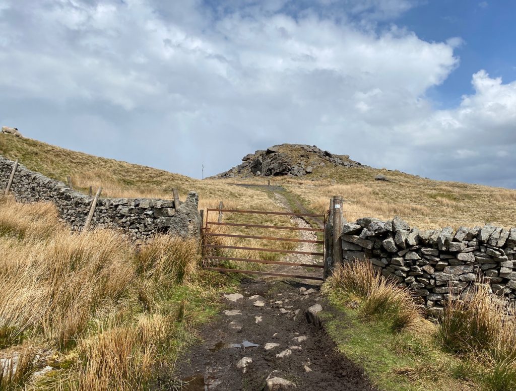
Pass through the gate into the next field. Bear left and pick up an old track on top of a mound which runs diagonally up the slope. After about 600m the track bears to the left and then shortly afterwards comes to a t-junction with another track. Turn right and then follow this track up the slope. After about 200m look out for a gap in the wall on your left without a gate but with a large wooded post on the left. This marks the start of a very good but stony path, which heads in a NNE direction to the road shortly before the distinctive rocky outcrops known as the Bowland Knotts. These are made of the very distinctive Millstone Grit, which make up most of the tops of the hills in the Bowland Fells. It is about 0.8 miles in distance to the road.
Join the road and turn left and head to the brow of the hill. This marks the boundary with the county of Yorkshire. It is a great lunch stop with fabulous views both north and south but especially across the Craven valley to the Three Peaks of Yorkshire.
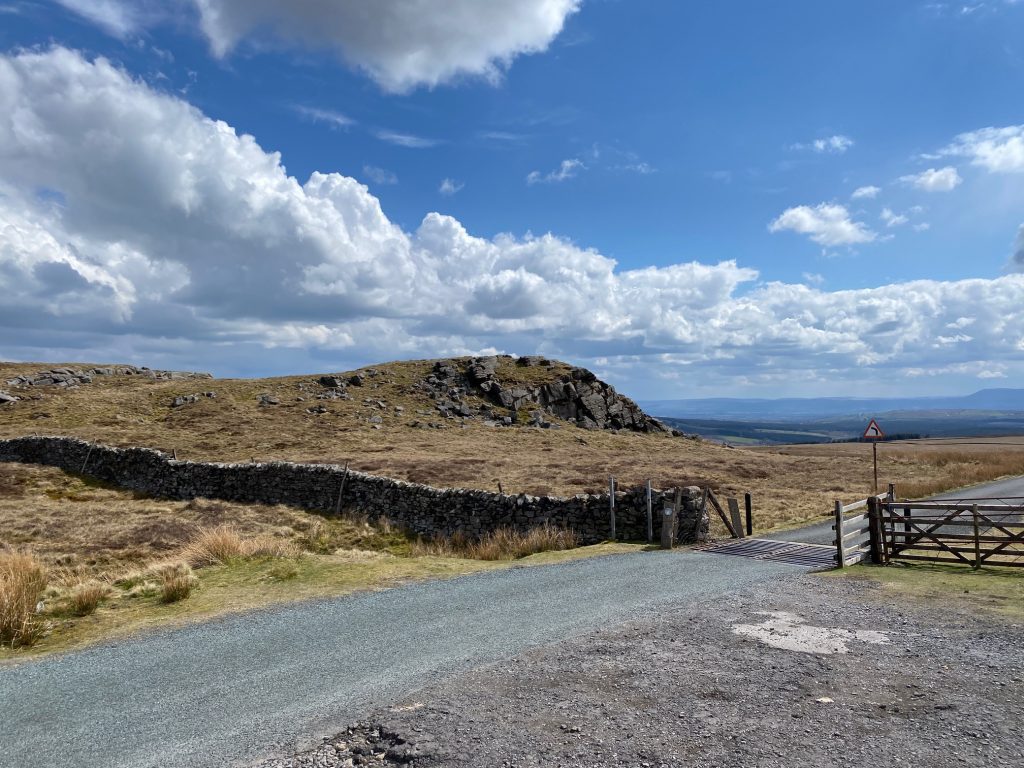
The cattle grid on the road over the Bowland Knotts – the border of Lancashire and Yorkshire with the Pendle Hill just visible
The next 5.5 miles of the alternative Stage 24 are easy to navigate as we follow the distinctive boundary fence and wall, firstly west to the Lythe Fell/Bentham Road and then south to the Hornby Road (track), which is where we pick up the original Stage 24, which we follow down to Dunsop Bridge along the Whitendale valley.
So hopefully suitably refreshed, pick up the faint track from the quarry on the left hand side of the road and head west roughly following the boundary wall. The track runs most of the way across Catlow Fell to the road, although sometimes it has to head away from the wall, when there is a particularly rocky outcrop.
Our first stop is the trig point on Knott End – 430m. To access this, use the ladder stile over the wall and then having visited the trig point head back to the stile and the northern side of the wall.
I have a confession to make here. The road at the brow of the hill passed into Yorkshire and for the next 2 miles or so we will be following the boundary between the two counties on the “wrong side”. The trig point marks the boundary so you can briefly step back to Lancashire if you wish!.
Back over the wall continue in a westerly direction down the hill and then back up the other steep side to rocky outcrop called Cold Stone. Continue in the same direction up the slope following the wall and you will arrive at our first Bowland 1500 ie the first summit in Bowland that is over 1,500ft high. It’s not very distinguished but is called Ravens Castle.
Continue along the fence down to a point where the fence splits and there is a stile in the fence. Cross over the stile and continue along the fence/wall on your left. We are now back in Lancashire as the boundary with Yorkshire follows the other fence north from the junction of fences.
After about 1km you come to the Slaidburn to Bentham or Lythe Fell Road.
Just beyond the cattle grid to the left is the remains of the Cross of Greet. This used to mark the border between Lancashire and Yorkshire before the whole area became part of Lancashire in the 1972 boundary reforms. Unfortunately the cross itself, if there ever was one, is missing and there is just a large boulder with a hole in it. There is another view that this was a “Plague Stone” and travellers would wash their money in water held in the hole to cleanse themselves and their money and protect the traveller from catching any diseases in the new county. The derivation of the word Greet could be Viking or more likely it is just a corruption of the word Grit, which is the rock that tops many of the hills in this area.
The summit of the road is a watershed between the Lune to the north and the Ribble to the south. We are actually now just above the origin of the River Hodder, whose course is temporarily interrupted by the Stocks Reservoir. Is the Hodder the most beautiful river in Lancashire?
The next leg of the Stage takes us up to White Hill and then down to the Hornby Road where we pick up and complete the original Stage 24. Please note that the paths are little used and often boggy and difficult under foot so please bear this in mind.
On the other side of the road just to your right you can see a gate stile which gives access to the moorland on the other side of the road. Use this and then turn left and head to the boundary fence about 20m away, which is a continuation of the one that we were following on the other side of the road. Turn right and we will now follow this fence all the way to the summit of White Hill. Just keep following the fence up the slope for about 2km. It is best to just keep by the fence although several peat groughs may require some deviation from time to time.
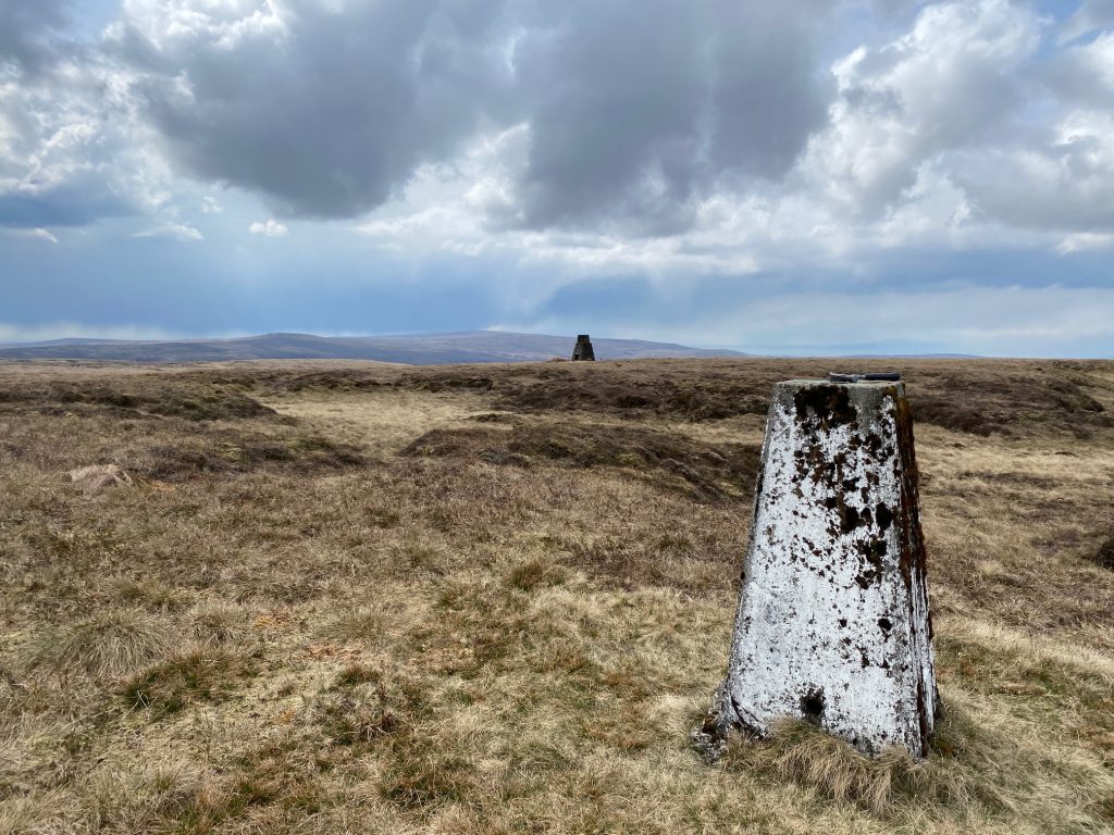
It changes direction from time to time but largely follows a SE to southerly direction. At the top of the hill the fence splits in two. Follow the fence on the left and you will see the trig point after about 50m. At 544m this is the fourth highest point in Lancashire. You will also note a structure referred to as a “tower” on the OS maps and there are in fact two others in the near vicinity. Apparently these are sitting towers and mark the course of the pipeline carrying water from Haweswater in the Lake District to Manchester, which passes directly underneath White Hill.
For more details see https://www.tathamhistory.org.uk/aqueduct.php
We will now descend to the Hornby/Salter Road/Track. To do this we will follow boundary fences as follows. From the trig point carry on following the fence that brought you to the trig point. After about 200m you will come to another fence and two gate stiles. Ignore these and turn right and follow the new fence until you come to two more gates stile and another fence junction. Use the first gate stile to cross to the other side of the fence. Then continue straight on in the same direction, following the same fence but on the other side. After about 150m the fence kinks to the left and then heads straight down to the Hornby Road. As always try and keep to the fence especially in bad visibility.
Join the original Stage 24 and the route directions to Dunsop Bridge.
END OF ALTERNATIVESTAGE 24
Click here to go straight to Stage 24
CIRCULAR/DAY WALKS
The simplest day walk is to walk to New House and then return via the Stocks Reservoir path to the dam. You can then return to Slaidburn by using the initial part of this Stage via Hammerton Hall or use the access road to Hollins House to find the main road to Bentham. You could then use this or take the path to Shay House and then return via the fields, which is actually the start of the original Stage 24.
Secondly you could walk to the Bowland Knotts and then return via the road. Alternatively walk as far as the Cross of Greet and then return via the Lythe Valley Road and then pick up the Stocks Reservoir Path.
The longest circular walk of about 18 miles is to complete all of the alternative Stage 24 as far as the Hornby Road, and then return to Slaidburn by using the start of the original Stage 24 in reverse.

