STAGE 29 – LANCASTER TO GLASSON DOCK
6.25 miles – 2.25 hours walk.
169 feet climbed – highest point 63 feet –Glasson view point
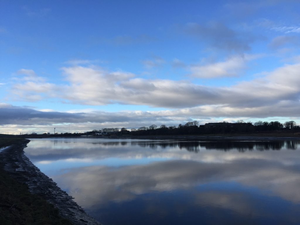
A pleasant walk with the ever-widening River Lune to our right throughout the stage. We begin in the historic city of Lancaster and end at a viewpoint just outside Glasson, which although at only 63ft above sea level, has great panoramic views across North Lancashire and Cumbria.
Maps of Stage 29 – also available on OS maps – www.osmaps.ordnancesurvey.co.uk
NB – With all the maps included in this website, double click on the image and this should open as a larger image to enable you to view in more detail. To return to the website click on your back browser button.
Download file for GPS
To download the GPX file for this Stage click on the link above.
ROUTE DESCRIPTION
Lancaster is the town which gives its name to the county of Lancashire, so finally, after over 180 miles walking, we have made it to arguably the most Lancashire of places. The town, which was made a city in 1937, has a long history.
It was a Roman settlement in the first five centuries AD and after that there was probably a monastery. The town was recorded in the Doomsday book of 1086 as Loncastre – the castle or fort by the river Lon or now Lune – and was under the control of William I.
The current castle, on the site of a Roman garrison, dates back to the 13th century and was extended by Elizabeth I. It is perhaps most famous for the hanging of the Pendle witches in 1612. In fact the castle and therefore the town had a reputation of being the Hanging Town, as it was second only to London for the number of hangings.
The town has a long royal history with unique links to the monarchy. Queen Elizabeth II and now King Charles III, as the current monarch, is the Duke of Lancaster and Lancastrian’s will often toast “The Duke of Lancaster”, as opposed to the “Queen”. The Duchy of Lancaster holds significant lands and estates in the county.
Probably its most interesting period of history was the 19th Century, when the port of Lancaster was one of the busiest in Britain and the fourth largest for slave trading. Unfortunately the river began to silt up and trade was transferred to Glasson, Sunderland Point and Morecambe, with Heysham being the current site of the port.
Great wealth was accumulated during this period and this can be seen now in the buildings of the town. I started the Southern Loop with a dedicated Stage, which consisted of a brief tour of parts of Preston. However, rather than repeat this please follow the following link, which gives an excellent walking tour, together with an informative narrative.
https://www.discoveringbritain.org/activities/north-west-england/walks/lancaster.html
The walk centres on not just the Lune but also the Lancaster canal, both of which brought great wealth to the town, which can be seen in the grand civic buildings, open communal spaces and elegant houses. In addition to this short walk, and if you have time, wander up into Williamson Park, with its Butterfly House, the Old Lancashire Lunatic asylum (now residential flats) and perhaps the most iconic building in the city, the Ashton Memorial. You will see this in the distance on a number of the Stages of the Northern Loop. Its history is detailed below as part of the initial parts of this Stage.
The first stage of the Northern Loop begins at the Railway Station, which has excellent links with much of the UK.
Exit the station on the west side and turn right. Follow the road around a bend to the left, then downhill and then straight on past Lancaster Cricket Club to a T-junction. Just before this look out for the remains of a railway, which we will see more of later. Opposite you is the River Lune.
Turn left and follow New Quay Road past the new housing development.
The new houses are the site of part of Lancaster’s great industrial past. Initially the area was not unsurprisingly a quay for unloading cargo, adding capacity to that originally supplied by the older St George’s Quay just further upstream. Shipbuilding also took place here until the Company went bankrupt and it was at this point that the Williamson family bought the site and expanded their coated fabrics business with the development of the vast new Lune Mills factory. Further expansion took place in 1889 when more land was bought from Lancaster Corporation and the site grew to 21 acres.
James Williamson Junior was a skilled businessman and the firm soon had a near monopoly in the UK in the production of low quality cork linoleum. Cork was imported directly from Spain and Portugal on the company’s own boats. In 1894 the firm employed around 2,500 people – a huge proportion of the town’s workforce. In addition to driving forward his family business, he was firstly a councillor, then the High Sheriff of Lancaster before becoming the Liberal MP for Lancaster. In 1895 he declined to stand again and was then raised to the peerage of the realm. He became Lord Ashton of Ashton. The Ashton comes from Ashton Hall, which he bought in 1884, and is now Lancaster Golf Club, which we will pass by later on this Stage.
There always seems to have been controversy surrounding the man and there was speculation that he exploited his workforce, although he was keen at the time to counter this, claiming that his skilled staff were paid union rates and his unskilled staff more than his competition, including bonuses for good time-keeping. It is also said that he paid his staff during times when work was slack and also older people, who found work difficult, providing they made it in to work.
I also find this assertion difficult to believe because of his philanthropy, which was common amongst industrialists of the time but by no means universal. He donated large sums of money to good causes such as the Lancaster Infirmary (£10,000!!). He also was also responsible for the building of the Queen Victoria Monument in Dalton Square, Ashton House at the Lancaster Royal Grammar School and the new Town Hall opened in 1909 in Dalton Square.
Perhaps the most famous legacy of the “Lino King” was Williamson Park and the Ashton Monument, which stands at the highest point of the park overlooking the city. His father had started the works in an old quarry during the cotton famine as it provided work during a period of mass unemployment. James completed the work, adding fashionable walks and driveways and planting. The Memorial was completed in 1909, just a few weeks before the Town Hall, at a cost of £87,000. It is a huge folly, but perhaps one of the grandest monuments in England. It is thought to have been built in memory of his second of three wives.
James died in 1930 at the age of 88. He left no will but his estate was worth around £10.5m, although death duties certainly ate into this. During the last twenty years or so of his life he seems to have become more and more of a recluse and some would say paranoid. He seems to have become more disillusioned with Lancaster and its people to the extent that he gave monies to St Anne’s, near Blackpool, to create the Ashton Gardens.
The above is just a short précis of an excellent account of this intriguing man of Lancaster– for more details please see
https://www.lancaster.gov.uk/the-council-and-democracy/civic-and-ceremonial/lord-ashton-the-lino-king
And finally on with the walk!!
When the road turns slightly left and there is a row of cottages (Luneside Cottages) look out for the path on the right-hand side of the road, which carries on straight following the course of the river. It is marked by a Lancashire Coastal Way (LCW) waymarker. Indeed most of this stage follows this walk and at the end of the Northern Loop we pick this up again to return back into Lancaster.
Follow the path keeping the river flood plain to your right. After almost a kilometre and just before the river begins to bend to the left, the path rises up a slope and there is an information point, highlighting the birds that can be seen at this point – Freeman’s Pools. It is tempting at this point to carry straight on along the good path that makes its way along the edge of Freeman’s Wood. But stop, look behind you, and on the right down a small slope is a kissing gate, which takes you through on to a flood embankment. This is the continuation of the LCW and our walk. The embankment then curves left through 90 degrees, which mirrors the river to your right.
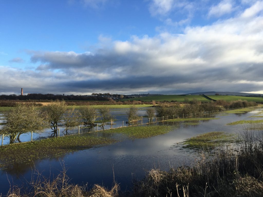
Continue along the embankment in a SE direction. To your right is a marsh area, with pools and streams, whilst to the left is an area known as Aldcliffe Marsh. This is often under water in the winter and a haven for birds. Beyond this area you can see the city of Lancaster, in particular the Ashton Memorial, and also the hills beyond – Clougha and Ward’s Stone – more of which later.
The embankment ends at a stile, which deposits you at the junction of a road, path and track. Head to the tall three-fingered metal signpost and turn right at this point on to a good track. The signpost directs us to Glasson and Conder and the track is marked by a sign. This tells you that you are now joining the River Lune Millennium Park Multi Use Path (quite a mouth full). However, it does warn you that there will be cyclists on this track so be vigilant.
We will now follow this track for about 2.5 miles. This track is actually an old railway and a continuation of the remains which we saw just after the Cricket Club – see below for more details. Look out for the solar power farm, the electricity pylons, which bring electricity from Heysham Power station to the National Grid, the golf course and a unique brick bridge, under which the railway would have travelled. Along much of its way there are rolling green fields to our left and the River Lune to our right.
The track ends at a car park. Walk through the car park. There is a toilet block on your left with an information board about the uniquely named “Breath of Fresh Air” walk. You may have noticed some of the blue circular way markers on the track with a lighthouse as the logo.
There are also other information points detailing the history of the railway and area. The bank on the right of the car park, which can be climbed by a series of steps, is actually the remains of a platform on the old Railway. This was first opened in 1883 by the London & North Western Railway Company. It was a single line from Lancaster to Glasson but the station was closed in 1930, when passenger services were withdrawn. Goods traffic continued until the line was finally closed in 1964.
Exit the car park and bear right to take the track over the bridge, which passes over the River Conder. We are still following the line of the disused railway. Ignore the road on your left unless you want to take refreshments at the Stork Hotel, which is just 5 minutes along this road in Conder Green. It dates back to the late 1600’s and was once called the Cocks, as it was venue for cockfighting.
Continue along the track which arcs around to the right and then runs in a westerly direction parallel to the road. Before long you will be able to see Glasson Basin on your left on the other side of the road. Continue into Glasson passing the bowling green and then, when you reach the Victoria Inn (closed I believe) take the road on the left past the Lock Keeper’s Rest refreshment caravan and over the swing bridge, with traffic lights. This marks the lock entrance to the basin. Just on the other side is a good café for sandwiches and other refreshments.
Continue through Glasson up Tithebarn Hill. At the top you come to the junction with Bodie Hill, where you can find a walled viewpoint on the grass verge with two benches. Before you have a rest, take the path in order to view the five steel etched panoramas attached to the walls. The viewpoint is in the memory of John Hayhurst OBE – many thanks.
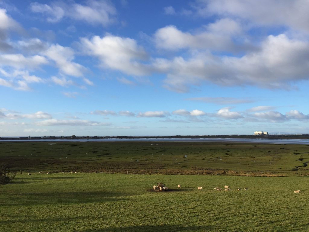
Take in the views – all 360 degrees, including the Lakeland Fells.
END OF STAGE 29
The accommodation for Glasson is just outside Glasson on the beginning of the next stage. Firstly there is the Mill at Conder Green, which is about a mile outside Glasson directly on the banks of the Glasson branch of the Lancaster Canal. Alternatively there is Thurnham Hall just a short walk off the Way on the other side of the canal.
Click here to go direct to Stage 30 – the next on the Lancashire Way
CIRCULAR/DAY WALKS
Begin Stage 29 in Lancaster and complete the whole of Stage 29 to Glasson Dock – just over 6 miles. Then start Stage 30 and follow to the junction of the Lancaster Canal and the Glasson branch near to Galgate (GR 482 545) – 3 miles. Then rather than head south along the Lancaster Canal head north and follow it all the way back into Lancaster. The return to Lancaster is 5 miles long making the walk a total of 14 miles and takes in pretty countryside and some impressive cuttings as the canal makes its way through glacial deposits known as drumlins. Hopefully you will also have time to explore Lancaster – see the suggested walk in Stage 29.
Alternatively catch a bus back from Galgate down the A6 back into Lancaster making the day’s walk just 9 miles long.


