STAGE 33 – ABBEYSTEAD TO HORNBY
19 miles – 8 hours walk.
2,141 feet climbed – highest point 1,833 feet – summit of Ward’s Stone
A hard day’s walk but in good weather there are some of the best views on the whole of the Lancashire Way as we take the concessionary route along the ridge which forms the northern Bowland Fells, from Ward’s Stone to Wolfhole Crag. This is probably the second best stage on the whole of the Way – the best in my opinion follows soon!
A map of Stage 33 can be found below courtesy of Ordnance Survey maps. You can subscribe yourself using this link, https://osmaps.ordnancesurvey.co.uk, which will enable you to import the GPX file which can be downloaded below.
Download file for GPS
To download the GPX file for this Stage click on the link above.
INTRODUCTION
This is a long hard stage and may be a little too much for some walkers or for many in poor conditions. If this is the case it can be shortened down to 15.5 miles and just over 2,000ft of ascent. To do this follow the Stage to the summit of Ward’s Stone and then along the boundary wall until you reach the shooting access road up from Tarnbeck (SD 617 582). At this point rather than continuing on up to Wolfhole Crag, turn left and follow the track in a NE direction down to the River Roeburn, over the bridge and then up the other side to the Hornby Road. Turn left and rejoin the full route into Wray. Stop at Wray for the day rather than continuing on to Hornby. The next day is an easy traverse of the Lune valley so you will not notice the additional 1.5 miles from Wray to Hornby and it actually makes the day better at 10.5 miles and gives you a well-earned rest ahead of Stage 35, which is another long hard walk.
ROUTE DESCRIPTION
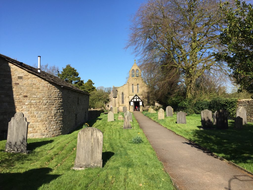
From the schoolhouse make your way back to Stoops Bridge. Just before the bridge there is a stone stile in the wall on the left just before a gate and opposite the Estate Office on the other side of the road. Use the stile to cross into the field and then follow the track northwards. After a few hundred meters the track bears left and moves away from the river and heads towards some properties named Lower Lee on the OS map. However, before reaching the properties our track bears left again and heads to a gate with a ladder stile. Cross this on to the road.
Turn left and then look out for the road/track on your right. Take this road and pass Rakehouse Barn on your right. Straight ahead is a property called Higher Lee, but when you come to the gate to access the property turn right and follow the track towards an area of woodland. When you come to this the track turns ninety degrees left and heads up slope with the woodland on your right.
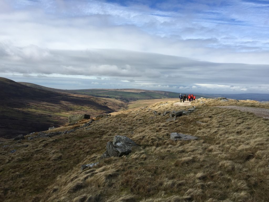
Continue to follow the track up the hillside passing through a couple of boundary walls with wooden gates and ladder stiles on the ascent. Ignore the turning off to the right shortly before a building referred to as Luncheon Hut. After this the track is at its steepest but then reaches the plateau at the top of the ridge, which marks the top of northern Bowland Fells.
Continue northwards along the flat top looking out for a path which crosses our track in an east to west direction. The path is not that easy to spot and is easier to see coming down from Grit Fell on your left. It is marked by a tall thick wooden marker post on your left. Our path is on the opposite side a few metres on. When you find our path turn right and follow it eastwards to Ward’s Stone. If you miss it you will come to a track on your right then you have passed our path and you will need to retrace your steps.
Follow the decent path east for about 2km until you reach the summit of Ward’s Stone. There is one white marker post after about 500m – keep to the right of this.
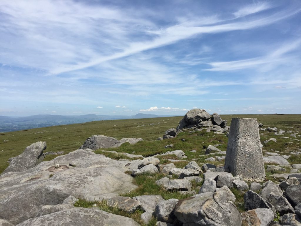
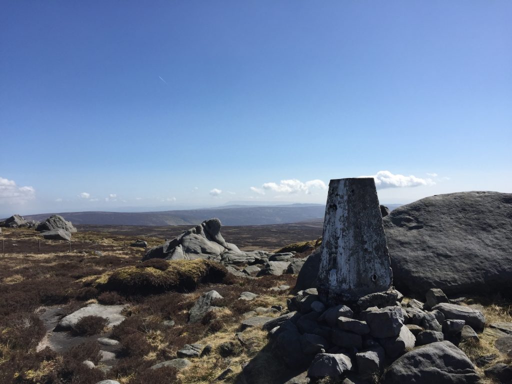
There are actually two summits marked by two trig points. The first is 560m high and marked by the actual Ward’s Stones just beyond this. There are magnificent views in all directions from the top. To the west you can follow the ridge along in the direction of Morecambe Bay and to the north is the distinctively shaped mountain of Ingleborough. From the first trig point head ENE to find the second trig point, which is 1m higher at 561m. You are now at the highest point in the Bowland Fells. All of the summits of the Bowland Fells are made of hard crystalline Carboniferous Millstone Grit, which we last saw on many of the summits on the Central Loop e.g. Pendle Hill. To the South you can actually see Pendle Hill and also the Southern Bowland Fells.
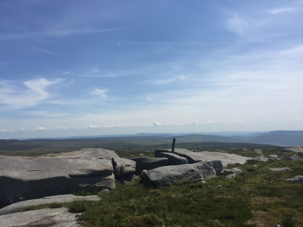
Looking south from the top of Ward’s Stone across the Bowland Fells to Pendle Hill with its distinctive shape
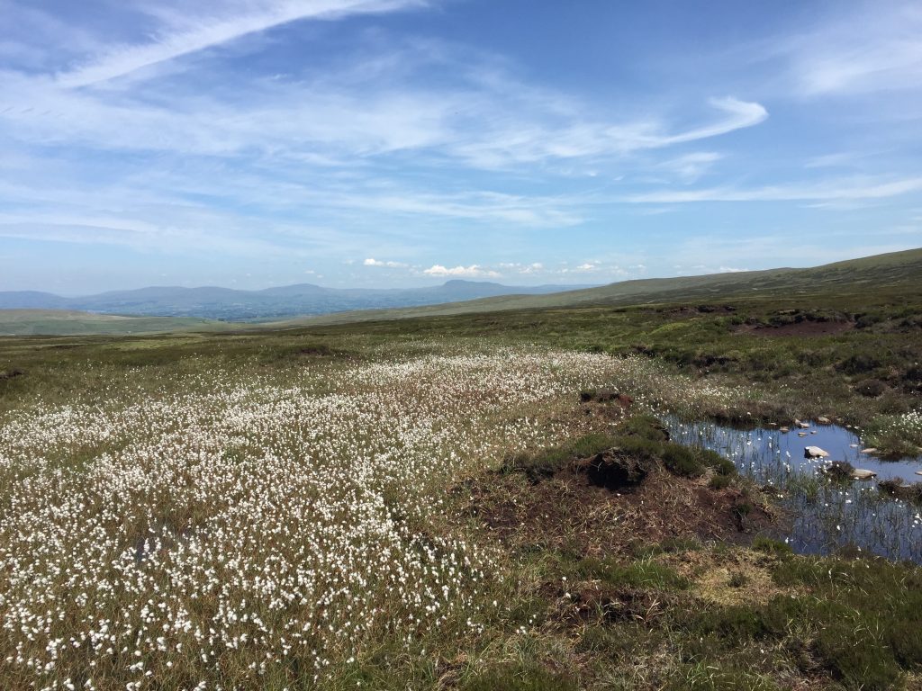
From the summit begin to head down the eastern slope of Ward’s Stone and you will find two boundary fences which meet to form a triangle. This is marked on the OS maps as Queen’s Chair. Follow the boundary fence on the right in a NE direction keeping the fence just to your left. There is a reasonable path although in parts it has to descend into and then out of the peat groughs – deep channels eroded through the peat often to the rock surface below. After a few hundred metres the boundary fence turns right and changes from a fence into a wall. Ignore the tempting kissing gate – keep following the boundary wall, which now heads in SE direction. The best path is the one directly adjacent to the wall, which then becomes a fence. The fence does change direction a few times but after about another 1.5km, still following the boundary, you reach another good track, which services the grouse shooting on the Fells from the hamlet of Tarnbrook.
Cross the track and continue in the same direction (SE) following the same boundary fence in the direction of Wolfhole Crag. Again it is best to hug the fence keeping it just to your left. After just under one km you come to another fence and a kissing gate with a signpost. Go through the gate and carry on in the same direction keeping the boundary wall just to your left until you reach the trig point, which marks the summit of Wolfhole Crag.
From the summit continue along the wall down the eastern slope of the Crag. At the bottom of the initial steep section there is a kissing gate in the wall but ignore this and carry on along our half boundary wall/half fence until you come to a second kissing gate. Use this to cross over to the other side of the fence. On the other side there is another kissing gate on your left – do not use this but continue along the boundary fence in an almost northerly direction keeping the fence just to your left. Descend to the bottom of the valley and then up to the track keeping the boundary fence just to your left throughout. Interestingly the boundary fence that we have just been following was the old county boundary between Lancashire and Yorkshire until 1974!
The track that we have just reached is the Hornby Road, which we walked along for some distance back on Stage 24 of the Central Loop on our climb up Croasdale Fell. This is also the meeting point for those who are undertaking the Central and Northern Loops in one complete walk. If you are doing this then you will need to turn right and head towards Slaidburn to pick up the final stages of the Central Loop. However, for most, just walking the Northern Loop, you will turn left and head towards Roeburndale and the villages of Wray and Hornby.
The next part of the route is simple and is a welcome change from all the heather and bogs of the last six miles – just follow the Hornby Road/Track in a NW direction for almost four miles until you reach the first farm, which is called Higher Salter.
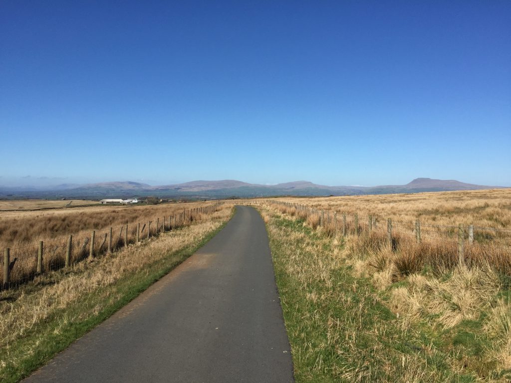
From here there were a number of options for the route and the one I have opted for takes the easterly side of Roeburndale rather than the westerly side. The latter is used by Wainwright’s Way which then crosses the valley back on to the eastern side via footpaths through an alternative commune! However, after a long day’s hike, with considerable ascent, there is, I find, too may unnecessary descents followed by steep ascents firstly on the road down to Lower Salter and then back up the other side and then down to the river and back up to the road on the east side. The route we follow is, I think, simpler and, apart from an initial ugly section through fields to Harterbeck, it makes a gradual descent into Wray by the very quiet public road. There are also excellent views all along this stretch towards the hills to the north across the valley. At one point from right to left you can see Ingleborough, Whernside, the hills that make up Gragareth/Green Hill/Great Coum/Crag Hill (see Stage 35) and finally the fells around Barbondale.
Continue along the track past the farm buildings on your left and then look out for a footpath sign on your right by a gate just before the tarmacked road begins. Turn right and pass through the gate. Continue straight on in a northerly direction keeping the wall just to your left. Descend a short slope and use the large ladder stile to cross the wall at the end of the field. On the other side turn immediately right and then use another ladder stile to climb over another wall into another field. From here bear diagonally left and find a low stile in the fence ahead. Cross into the next field and follow the boundary wall on your right to the corner of this field, where you will find a stone stile. Cross over the wall. Then head diagonally right towards a fence directly ahead. The OS Map suggests that you cross the fence in the middle but there is actually a kissing gate on the right were our fence meets another fence which heads perpendicular direction i.e. N-S. Pass through the kissing gate and then head north keeping the new fence just to your right. Then head down to Goodber Beck and use the footbridge to cross to the other side. Cross over the stile and then turn left and head up the slope before turning right and picking up a track, which takes you to the farm of Harterbeck.
Turn right and pick up the tarmac road, which takes you all the way into the village of Wray, about three miles north of here. NB There are footpath alternatives to the road but after the exertions of the previous 15 miles or so you will be glad of the simplicity of the quiet walk road – no mud, no nettles or thorns, no stiles – and you can concentrate on the views across the valley.
The road from Harterbeck down to Wray with its magnificent view of the hills to the north
The first properties that we reach in the village of Wray are those associated with the old mill, which made use of the water flowing down the Roeburn valley. Just after these properties is the Kitten Bridge across the river, which is a useful shortcut if you are tired after the day’s walking. However, our route continues along the road past the allotments and into the eastern end of the village. When you come to the main road turn left and cross over the Wray bridge into the village itself. Taking this route enables you to see more of this very pretty village. Continue along Main Street past the Wray Institute and the George and Dragon pub to the main road – the B6480. You may wish to make a short detour before this to the old school, which is signposted and just up School Lane.
Turn left and follow the main Hornby Road for about 100m until you see a footpath sign on your left, which points to the entrance of Lane Head/Kiln Lane on the right-hand side of the road. Take Lane Head and pass the various properties and then continue along the track into open country. When the track turns left, carry straight on and take the kissing gate into the field. The track then comes to the river – carry straight on through the next kissing gate and on to another pedestrian gate in a wall. On the other side of the wall, turn immediately left and follow the wall around in an arc until you are walking in a NW direction again. Pass through two more kissing gates, which are actually part of an old disused railway! On the other side of the “track” turn left and follow the line of the railway into a second field.
From here we are going to head in a westerly direction diagonally across the various fields using three stiles. Having climbed over the third stile into the last and largest field we need to head northwards towards the river. There is a path that continues in the same direction over another stile and then along the side of the wood but this path climbs up the steep hill known as the Bear’s Head. Our route heads to a track by the river. Turn left and follow the track downstream into a farmyard. Continue through the farmyard – it may look as if you cannot exit but there is a gap in the wall on the left hand side. Exit the farm yard onto the main road in Hornby right by the Hornby Institute. Turn right and the Stage ends on the bridge over the River Wenning with good views up to the castle.
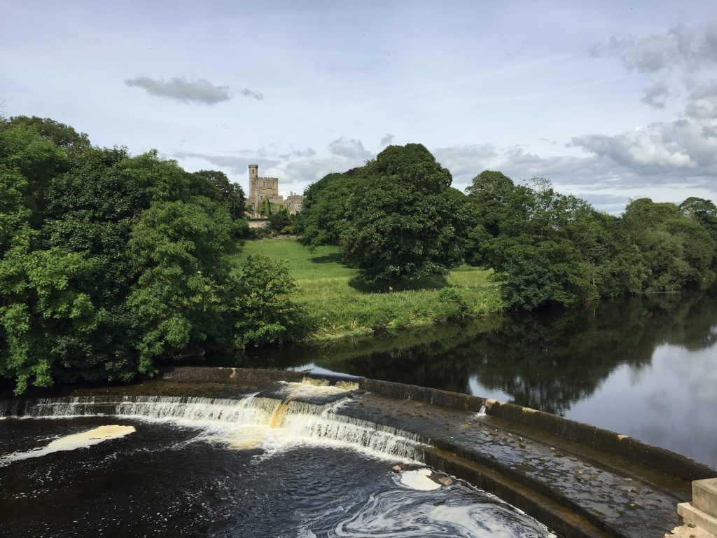
The end of Stage 33 with Hornby Castle and the River Wenning in the foreground visible from the Hornby Bridge.
END OF STAGE 33.
The only accommodation in Hornby is the Castle Inn, which is highly recommended NB THIS MAY BE CURRENTLY CLOSED – PLEASE CHECK!. There are six “boutique” rooms – please leave your boots downstairs! The best alternatives are The Fenwick Arms at Claughton (1.5 miles away), which is owned by the same group as the Assheton Arms at Downham and the Barley Mow at Barley, or the Homestead B&B at Melling (2 miles away). Or you could take a taxi back into Lancaster where there is ample accommodation.
Click here to go direct to Stage 34 – the next on the Lancashire Way
CIRCULAR/DAY WALKS
With this stage being 19 miles long it is impossible to complete most of it in the form of a circular walk. The best option is to walk with a friend and leave one car in Hornby and then travel in the second car to Abbeystead. Walk the stage and then return to Abbeystead to pick up the second car. It can be shortened by ending in Wray, which reduces the walk to around 17 miles.
There are a couple of shorter alternatives. Start Stage 33 and climb up to Ward’s Stone. Descend to the moorland access road further along the ridge (GR 548 583) and then use this track to descend into the hamlet of Tarnbrook. From there follow the Wyre Way back into Abbeystead.
To cover the northern part of this Stage, walk from Hornby to Wray and then use the road or paths up the western side of the valley of Roeburndale to the farm of Higher Salter and then return to Hornby using the final part of Stage 33.

