STAGE 34 – HORNBY TO HIPPING HALL (A65 NEAR COWAN BRIDGE)
9 miles – 3.5 hours walk.
594 feet climbed – highest point 327 feet
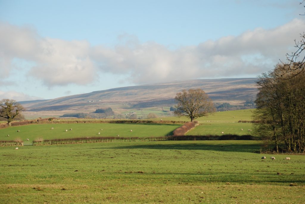
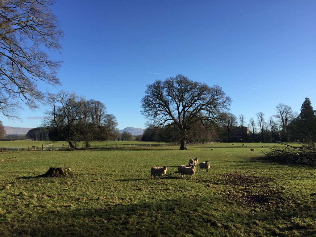
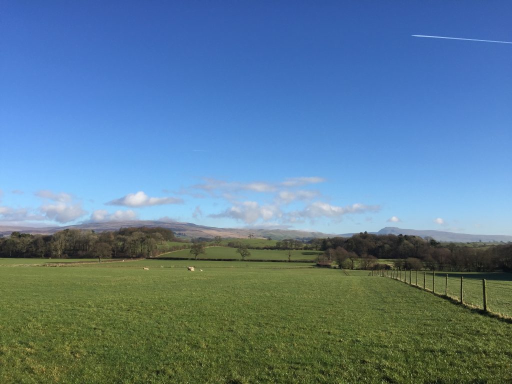
An understated stage and one dominated by the distinctive peak of Ingleborough, which seems ever present as we head north. We begin with our first walk along part of the River Lune and then through the lovely villages of Melling, Wrayton and Tunstall. The final part of the stage is pretty rolling countryside with an interesting story of Art and some Bronte history and of course we can see the hills of the next stage getting ever nearer.
A map of Stage 34 can be found below courtesy of Ordnance Survey maps. You can subscribe yourself using this link, https://osmaps.ordnancesurvey.co.uk, which will enable you to import the GPX file which can be downloaded below.
Download file for GPS
To download the GPX file for this Stage click on the link above.
ROUTE DESCRIPTION
The stage begins on the bridge over the River Wenning in the middle of the village of Hornby. Hornby is dominated by its castle, which sits above the village and can be clearly seen from the road bridge but unfortunately we cannot get any closer as the grounds are private and the castle itself consists of residential apartments! The castle was started as a replacement for Castle Stede in the 13th Century, which we will see shortly. The tower is from the 16th century but most of the remainder of the building was built in the 18th and 19th Century.
The village stretches along the A683, which heads north to Kirby Lonsdale, but it has some pretty properties. To the north of the bridge is the Castle Inn, the Lodge guarding the drive to the Castle grounds and St Margaret’s Church. The latter has an impressive octagonal tower, which dates from 1513. The church itself actually dates back to 1280 and in the tower is the Claughton Bell, which is dated 1296 and is the second oldest dated bell in England. Roger de Montbegon of Hornby was one of the 25 barons who guaranteed the rights set out in the Magna Carta of 1215.
On the southern side of the bridge there is the Hornby Institute – a Grade II listed building from 1915, together with the Hornby Tea Rooms and a small supermarket for provisions.
From the bridge, head north along the main road through the village.
NB There is an alternative to this road section to the Lyon bridge – take the footpath on the left just after the bridge over the River Wenning. This follows the Wenning to the Lune and then turns up the Lune to the Loyn Bridge.
Shortly after the school and swimming pool take the road which bears off left. Beware on this section, as there is no footpath. On the right is attractive building called Lawnds Farm and then on the same side you see the remains of the old original motte and bailey castle called Stede Castle and a pillbox from the Second World War.
Continue down the hill and round the bend to the road bridge over the River Lune – the Loyn Bridge. You can now see what a great vantage point the original castle had guarding a crossing point on the river. To the south of here is Priory Farm, which is the site of a priory dating from the 9th century!
This is our first real sighting of the River Lune, which is one of Lancashire’s great rivers – probably second only to the Ribble, which we know well from earlier stages. The Lune is 53 miles long and begins north of here in Ravenstonedale. The first section after this point is a great valley, perhaps even the term gorge is appropriate, at Tebay, which the M6 and the main West Coast railway use to head north between the Howgill Fells to the east and the Eastern Lakeland Fells to the west. It has a large catchment area including these fells and those further south, including the westernmost parts of the Yorkshire Dales.
We will now follow the course of the river for a short while but our real exploration of this river will be in two day’s time when we will return to Loyn Bridge down the opposite bank from Kirkby Lonsdale.
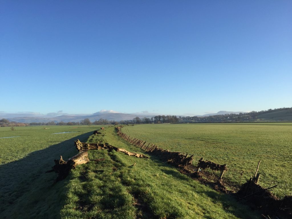
Find the gate and adjacent gap/stile on the right-hand side of the road at the very beginning of the bridge. Pick up the line of the flood embankment, which we will follow for just under one mile. The OS map marks the path at the bottom of the embankment on the left hand side but I think it is easier to walk along the embankment itself, although in times of flooding you may have to negotiate marooned trees and logs.
After about 20 minutes you will reach a concrete track. Turn left along this track and then almost immediately right on to a stony track. The path from here is not marked and seems little used and line of the path on the OS map is not accurate. It suggests crossing a footbridge into another field and then through a couple more fields but there are no stiles to aid the route from one field to another so I have therefore ignored this below .
After about 100 metres pass through one gate and then bear right to two gates. Take the left hand one, which deposits you into a large field a little further back from where the OS map shows the path coming into this large open field .
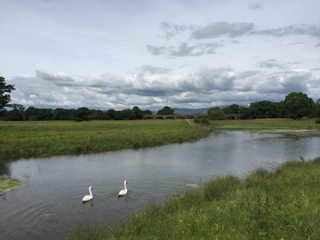
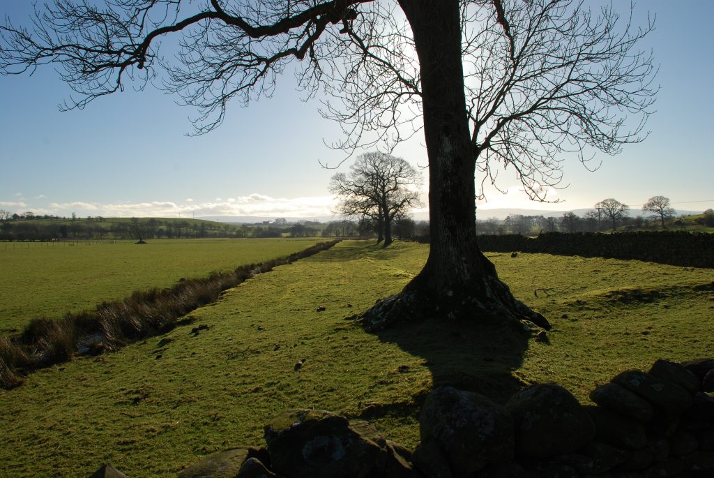
From here head north, through isolated trees, following a stream/channel (depending upon water levels) on your left. Then cross this stream using a track and carry straight on. Ahead in the distance you will be able to see the arches of a railway viaduct, which is ultimately were we will end up but we don’t head directly there!
From the crossing over the stream bear slightly left towards some trees near to the riverbank. When you reach a pond and another series of ponds in a channel turn right and follow this line of ponds in an ENE direction. After a few hundred metres you will come to a large pond. I presume that this is the line of an old course of the river.
Keep to the right of this pond and now follow the hedge on your right to a fenced watering point for cows. Two stiles allow you to cross this and then follow the boundary on your right passing more ponds, if wet, on your left. Keep following the boundary almost to the viaduct where you will find a metal gate with a pedestrian swing gate. Use this to access the hedged lane, which after 50 metres turns right and then follows the embankment to a bridge under viaduct. Do not cross under the viaduct but continue along the lane, which takes you to the main road through the village of Melling.
Turn right and follow the main road into the village. We are going take the first left into Lodge Lane, but please do just make a short detour by carrying on to St Wilfrid’s Church, which is just further on, on the left. Enter the grounds and you will see another “motte”.
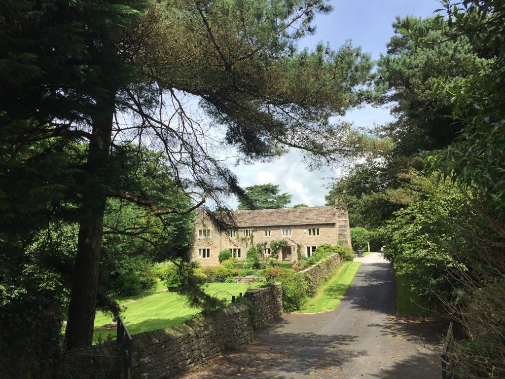
Melling is one of my favourite villages. There are lovely houses on main road and the first two properties on Lodge lane are Melling Hall and the Old Vicarage. Melling Hall is a mid 18th Century Hall in a Georgian style. The right-hand side of the house was actually raffled off by the then owners in 2017!
Continue along Lodge Lane with more beautiful properties and then pass the school on your left. Pass over the railway – the station was closed in 1952! – ignore the drive to Galley Hill Farm but do take the next left, which bears off the main road and through an area called Melling Moor. When the track turns right look out for the stile into the field on your left. Cross into the field and walk up the slope moving away from the boundary hedge on your left. Descend the other side of the slope towards the middle of a young wood at the bottom. Use the tall gate in the tall fence to enter the woods. Bear slightly right and descend through the woods in an approximately northerly direction. Exit the woods via a large gate and then enter the track directly ahead via the stile next to a metal gate.
Follow the track for about a third of a mile into the village of Wrayton. When you come to the road through the village, by a notice board, turn left. Follow the road out of the village, around the right-hand bend and down to the main road – the A683 again!
Unfortunately we now have a road section. As I explained in the introduction to the Northern Loop, there is only one bridge over the River Greta in Lancashire. There is a bridleway, which crosses the river to the east near Bull Bank and which then heads into Cantsfield but there is no bridge and the river is generally too deep and stony to cross safely. The next crossing is about 3 miles to the east in Burton in Lonsdale, which is very much in Yorkshire. So we have no option but to cross using the Greta Bridge and then a section of road.
From here the most direct route to the A65 is via Cantsfield and then using paths across fields to the properties called Laithbutts and Collingholme and then the country road that connects these properties to the A65. I have walked this, but it is plagued by cows, mucky farm lanes and has little of interest. Thus our route is via Tunstall, with some intriguing history and not unpleasant scenery. This is not just a walk; it is an exploration of Lancashire!
So turn right and head along the A683 over the Greta Bridge and then turn left. There are footpaths along parts of the road into Tunstall and reasonable verges, although overgrown in summer, but please do take care. If in doubt, stop and stand on the verge looking at oncoming traffic.
Half way along the 0.6 miles into Tunstall is the Lodge and entrance to Thurland Castle. It is a shame that it is largely shrouded by trees and is some distance from the road. It dates back to the 11th Century and was originally occupied by the Tunstall family including one Brian Tunstall, who was killed at the Battle of Flodden Field in 1513 and was known as the Stainless or Shining Knight in the poem “Mamion” by Sir Walter Scott. His brother Cuthbert was the Bishop of London and was on intimate terms with Henry VIII. His resistance to the King’s divorce led to him being exiled to Durham where he became the Bishop of Durham.
In 1605, the castle was bought by a Sir John Girlington, a Royalist Major in the Civil War. As a result of this, the castle was besieged by Parliamentarian forces in 1643 and was almost completely destroyed. It was converted to a country house in the early 19th century and was rebuilt again in 1885 after a fire destroyed the house, with the Lancaster architects Paley and Austin involved. Some of the original castle remains with a gated entrance over a moat, two towers often with a flag flying, crenulations and terraces with bastions. The castle is now a “prestigious estate of 12 exclusive residences” – see www.thurland-castle.co.uk.
Continue along the main road into Tunstall. Pass the Lunesdale Arms – you may want to lunch here if you are taking it easy and just completing this stage today after and before the “big” Stages of 33 and 35.
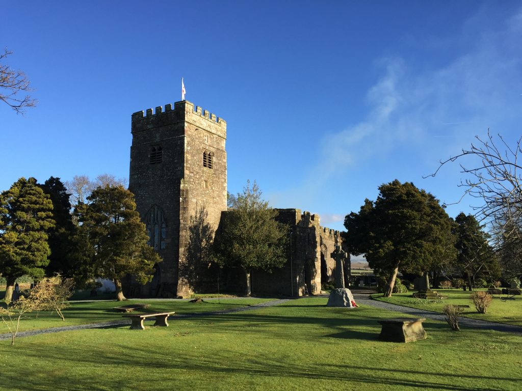
Continue along the main road and then turn right into Church Lane. Follow the lane until you come to the church of St John the Baptist on your left. It is pretty church dating from 1415 with lovely grounds but do please make sure that you enter into the church – hopefully there will be blackboard outside welcoming you in. I almost did not and would have missed two interesting stories from the churchwarden and another kind lady that I met inside. Unfortunately, it is not always open- a shame but not untypical these days.
When you enter the church turn right and look on the wall and you will find a large painting hanging there. This painting was the subject of an episode of the BBC programme “Fake or Fortune” staring Fiona Bruce and the art expert Philip Mould. The conclusion was that the painting, which was then thick with dust and dirt after years of hanging in the church, was the work of Renaissance artist Francesco Montemezzano and is titled “The Lamentation of Christ”. It was estimated to be worth about £100,000.
But the story does not end there. The publicity led to great numbers of visitors and the dilemma of whether such a valuable painting could be returned to the church for visitors to admire or whether it should be sold or put in storage. Visitors had to be content with a postcard of the painting for a while. But all ends well and it was not sold and in spite of the threats of damage or theft the painting is back where it belongs hanging on the church wall and beautifully restored showing off its wonderful colours.
And for the second story please exit the church and on the notice board you will find a simple map with the title of the “Bronte Walk”! Indeed, this church was attended by the Bronte sisters. In 1824 four of the Bronte sisters attended the Clergy Daughter’s School in the nearby village of Cowan Bridge and we will see this school near to the end of the next Stage of the Way. It was run to benefit the daughters of poor clergy, so that they might have a good education to suit them in their adult life.
Their experience was not a good one with stories of lumpy porridge, sour milk, dry bread, up at 6am and lessons until 8pm for the elder girls. The regime was designed to “mortify the flesh and instil endurance”. In the following year all of the sisters were withdrawn from the school but unfortunately the two eldest sisters, Maria and Elizabeth, died from consumption shortly after returning to Haworth, leaving just Charlotte and Emily. The poor conditions at the school were largely to blame and the school of “Lowood”, which features in Charlotte’s novel Jane Eyre (1846), is said to be based upon the experience of the sisters at Cowan Bridge.
And so to St John’s Church in Tunstall! The school was started by the Reverend Carus-Wilson of Tunstall, who was the vicar here. So on Sundays the sisters had to walk the 3 miles or so across country and in all weathers from Cowan Bridge to Tunstall in order to listen to the Reverend as he preached his long, boring sermons full of blackness and despair. The church was also immortalised in Jane Eyre as Brocklebridge Church and the vicar as the harsh Reverend Wilson.
After attending morning service there would be a meal for lunch, often taken whilst still in wet clothes and boots, which took place in a little room directly above the porch in which you are standing! It is quite sobering to think that the Bronte sisters were just above us almost 200 years ago.
And so on with the walk and initially we follow the Bronte walk for about half of the 3 miles or so to Cowan Bridge. I did consider incorporating the whole of the walk but as we return back through Cowan Bridge at the end of Stage 35 I thought this would be unnecessary duplication.
Exit the churchyard back onto Church Lane, turn left and then left again along an impressive drive to Churchfield House. Continue in the same direction between the two buildings and look out the kissing gate when the drive bends around to the left to the back of the second property on the left. Enter the field and continue in a northerly direction through two gates and then onto Kirkriggs Barn.
Continue straight on keeping the boundary hedge just to your left and pick up the track to the Barn. The path then goes through the middle of some farm buildings and then picks up a continuation of the track, which exits on to a country road. However, do not join the road but turn right and follow this new track in an easterly direction – there is a stone with the words Cowdber Farm, which is where we are heading next.
Follow the track over numerous cattle grids, through pretty glacial drumlin type hills and past Cowdber Wood until you walk alongside a newly renovated property on your left. Continue straight on and when the track bears left towards Cowdber Farm, carry straight on and use the metal gate to enter the field adjacent to the farm. Cross through another metal gate and then look for the wooden gate in the left-hand corner of the field. Use the gate to cross into the next field.
As soon as you enter the next field you are standing on a Roman road. This is the continuation of the roman road that we saw above Slaidburn – the Hornby Road – and from here it heads north past Kirkby Lonsdale up the Lune valley past Sedburgh before using the gorge to cross through the Howgill Fells to a fort at Borrowbridge just south of Tebay. From there it headed to Penrith and then on to Carlisle. The best view of the road structure is in the field just to the south.
Onward! Look to your right and you will find a metal gate with wooden steps attached so that you can cross over the gate into the next field. We will now head across a number of fields on a straight course in a SE direction. Cross over the stile into the next field and then find another stile near to the top right-hand corner of this field. We then cut the corner of the next field and then use two gates to find the track that takes us to the farm called Collingholme.
The path is not clear here but according to the OS map it passes through the farmyard with the main farm house on your left and then turns right behind some farm buildings before picking up a track on your left. Follow the track to the tarmacked road. Bear left and then follow this road initially in an easterly direction and then in a NE direction for just under a mile until you reach the A65. This is an old road and a trading route from Yorkshire to Westmorland and specifically Kendal.
END OF STAGE 34
Whilst this may not appear to be the ideal end point for a stage it is easily accessible by car and taxi.
The nearest accommodation was at Hipping Hall itself but unfortunately is now closed. There is a B&B (Ghyll Beck House) on the A65 at Ireby to the SE. If you do go for this option, I suggest that you start the beginning of the next stage and head to Todgill Farm. At this point it is just over half a mile to the B&B and gives you the opportunity to visit the lovely village of Ireby. There is also Whoop Hall to the NW, also on the A65. Alternatively take a taxi into Kirby Lonsdale and stay the following night as well and the taxi should be happy to return you in the morning. See next stage for accommodation options.
Click here to go directly to Stage 35 – the next on the Lancashire Way
CIRCULAR/DAY WALKS
Again many options. A lovely walk, and one that is not too far, is to start Stage 34 in Hornby and continue on to Wrayton. From here rather than turn left towards the A683, turn right and follow the very quiet lane all the way into Wennington. Just after the railway station turn right and head up the steep road before heading across country to Wray via the following locations on the OS Map – Overends, Coat Bank Coppice, Tatham Park Wood and Meal Bank. If you want to take in the village of Wray then I suggest you use the footpath from Meal Bank Farm to the B6480 and then head into Wray via the River Hindburn. Then complete the end of Stage 33. The last section from Wennington to Wray is pretty and again almost became the actual route of the Lancashire Way.
The long alternative is to complete Stage 34 in its entirety. Then head behind Hipping Hall Hotel and across the fields into Leck. Complete the final part of Stage 35 from Leck to Kirkby Lonsdale. From Kirkby Lonsdale complete the first six miles or so of Stage 36 to the Loyn Bridge. From here take the road back into Hornby. This is about 20 miles long. I have completed a slightly shorter route, which, rather than heading to the farm of Collingholme and then on to Hipping Hall and the A65, turned north at Cowdber Farm (GR 751 631), and followed the route of the Roman road into Overtown and Leck Beck – the Bronte walk. From here you can pick up the end of Stage 35 as before. This will reduce the mileage by just over 2 miles.

