STAGE 37 – GRESSINGHAM TO OVER KELLETT
5.75 miles – 2.5 hours walk.
715 feet climbed – highest point 493 feet – Whinney Hill near Aughton
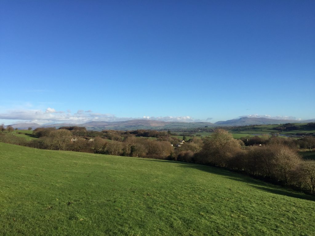
From Gressingham we gain a little height to more appreciate the Lune valley and its surroundings. A generally pleasant walk over rolling hills with views of the coast again as we head down into Over Kellet and into limestone country.
A map of Stage 37 can be found below courtesy of Ordnance Survey maps. You can subscribe yourself using this link, https://osmaps.ordnancesurvey.co.uk, which will enable you to import the GPX file which can be downloaded below.
Download file for GPS
To download the GPX file for this Stage click on the link above.
ROUTE DESCRIPTION
The village of Gressingham gives its name to the Gressingham duck, which was first bred in the village as a cross between a mallard and a Pekin duck in 1980. However, they are no longer farmed here but are now exclusively reared in East Anglia, where the company bearing the same name has exclusive rights to this type of duck with its more succulent and tasty breast.
We are taking a slight detour to visit the village more thoroughly. Turn left and walk along the main road. When you come to the second turning on your right, and opposite the old schoolhouse, take the lane on your left, which descends back to the small stream, which can be crossed by pretty pedestrian bridge with white railings. Head up to the single-track road and turn right and continue to Walnut Tree Farm.
Head straight on through two green metal gates and then through a third which takes us on to a narrow lane/path with hedges on either side. This ends at a field. Enter the field and initially follow the boundary on your left but then head away to your right to find a gate in the fence at the end of the field. Continue straight on across the next field – there is a vague grassy track to follow. At the end of this field take the stile into the next and then follow the fence and hedges on your right until you come to a tarmacked lane. Turn right and follow to a T-junction with a slightly larger road – the Aughton Road.
Turn left and follow the largely straight road for about a mile – the road is generally quite quiet and does have substantial grass verges to step on to if you meet any of the large tractors. Do please make sure that you take in all views and in particular look behind towards the hills to the North. At this point the road splits and we will carry straight on down into the village of Aughton, ignoring the fact that the main road has just headed off to the right. This is actually just another little detour, and one that initially loses height in order to see the village properly. Please ignore if you wish as in the centre of the village we will turn right and head back up to the main road.
At the junction with the main road turn right and find the stile and footpath on your left – it is before a building and the church. Bear slightly left to locate a stile into the next field. Then head in the same direction across the next field to the stile, which is just to the right of the wood opposite. Enter the next field and head again in the same direction up the slope. A high post marks the stile into the next field/paddock. Cross over two more stiles maintaining the same direction and then head towards the farm called Whinney Hill – a large equestrian centre.
Exit the field on to the track and turn right and follow this past the boundary to the farm. Continue along the track in the same direction to the next property called Sidegarth. Just outside the property the track bends to the left and then heads between two buildings leaving you on the track to the property.
Turn left and follow the track through the woods for about 500 meters until you come to a road. Turn left and then find the stile on the opposite side of the road. Use this to cross into the field and then head away from the wall in the direction of Swarth Beck at the bottom of the field. On the opposite side of the beck is an interesting wooded knolly area, which I think is a limestone outcrop and there is a disused quarry behind this. You will then see a stone stile in the wall next to a gate, which takes you on to another road.
Turn left and follow the road past the huge farm building on your left and then you will see a similar large building on your right – I believe that these house hens. At the beginning of the second building there is path down the hill to a valley bottom, which has the continuation of Swarth Beck.
The path across the bottom of the valley is not distinct and there are several stiles and gates that allow you to cross the valley. Basically you need to head to the old oak tree just to the right of the electricity pylon. Cross into the next field by the oak tree and then head straight ahead up the slope towards the top of a strip of trees to your left. At the end of the wood is a small wooden gate that gives access to the next field.
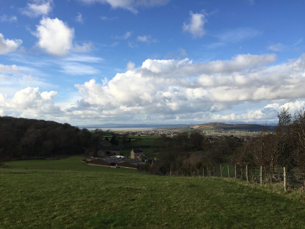
Continue straight on in the same direction keeping the hedge just to your right. After about 150 metres you come to the very top of the small hill and are presented with a superb view across to Morecambe Bay with Warton Crag very prominent – see Stage 40.
Descend the hill and then unfortunately half-way down there is a stile across into the field on your right, which may be extremely soggy and muddy. Locate the stile to the left at the bottom of the field, which takes you into the next field. Head to the right of the buildings opposite and use the stile to cross over into a craggy area – the edge of a small quarried area. Climb along the edge and then into a small field to join a track directly opposite. Follow the track to the road.
Turn left and take the road into Over Kellet passing the Eagles Head pub on your left. Continue on to the cross roads in the village, which is the end of the Stage.
Over Kellet is a lovely village dominated by its green with four roads dissecting it. It is a good stopping point with a decent B&B and a village store/post office/tourist Information centre just on the edge of the green on your left as you come in past the pub.
END OF STAGE 37
There are two B&Bs in Over Kellet. There is the Tithe Barn, which is just down the Capernwray Road north off the central green or alternatively there is the Chapel Lodge B&B which is on the B6254 east within the village. Other alternatives within a couple of miles are the Redwell Inn and the Bay Horse Inn both further out east on the B6254.
Another alternative is to start the next stage and walk to Capernwray, which has the Capernwray House B&B. This is only about 10 minutes’ walk off the route.
Click here to go directly to Stage 38 – the next on the Lancashire Way
CIRCULAR/DAY WALKS
There are not many options. The best I could achieve after completing this stage was to continue on with Stage 38 but then head back to the beginning of Stage 37 via the road at Capernwray. Turn right and at the next junction near Capernwray Hall turn right again and return to Gressingham via the road past Lord’s Lot Wood. It is not ideal and you need to be wary on the roads.
The best option is to deploy the two car share option with a friend!


