STAGE 40 – SILVERDALE TO WARTON
6 miles – 2.5 hours walk.
734 feet climbed – highest point 536 feet – Warton Crag
Another short but lovely stage beginning in the pretty village of Silverdale, taking a loop around the village to the Cove and then followed by a walk around Jenny Brown’s Point before heading up to the top of a limestone ridge called Warton Crag with its neolithic fort. We then descend into the historic village of Warton.
A map of Stage 40 can be found below courtesy of Ordnance Survey maps. You can subscribe yourself using this link, https://osmaps.ordnancesurvey.co.uk, which will enable you to import the GPX file which can be downloaded below.
Download file for GPS
To download the GPX file for this Stage click on the link above.
ROUTE DESCRIPTION
From the Junction of Stankelt Road and Emesgate Lane, go north along the latter through the main centre of Silverdale. Just after passing St John’s Church, look out for the path that bears left away from the road on the left-hand side of the road. This then joins a road called Townsfield. Continue along this to the main Cove Road.
POTENTIAL DETOUR
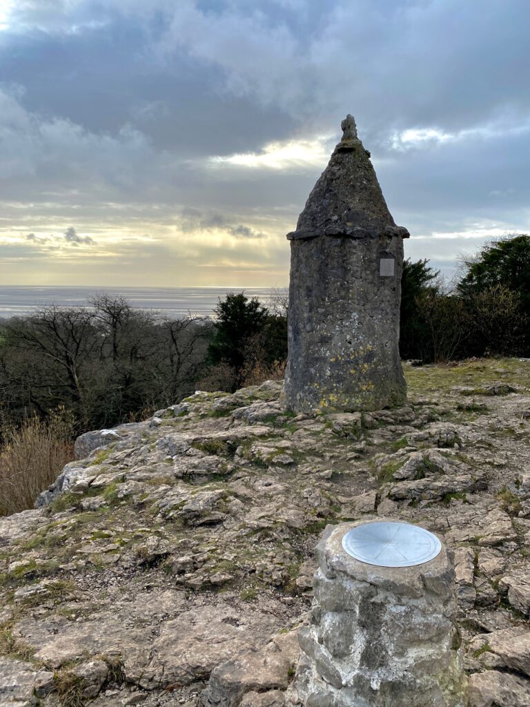
Sitting above the village of Silverdale/Elmslack is a monument called the Pepperpot that commemorates the Golden Jubilee of Queen Victoria in 1887. It is about a 20-30 minute detour off the route but is worth it if you have the time. It gives good views over Morecambe Bay and is pleasing on the eye. If you wish to visit this then at the end of Townsfield turn right rather than left. After about 200m turn left and follow a track between Elmswick Court and Woodlands Drive. This will bring you to a wood. Enter the wood and turn right – signposted Eaves Wood. After 50m turn left which is signposted “Pepperpot”. Although there are marker and signposts to guide you they are not there at all points on the route and there are many other paths in the wood so be careful. Continue up the slope and then when it looks as if the path turns right carry straight on up over some rocks and you will see that the path continues above this in the same direction as before. Carry straight on to another marker post, where we turn left and then left again and follow the path up to the monument.
Return down the way you came and exit the woods. At this point follow the signpost to “The Cove”. It begins as a track almost straight ahead of you and then a path which is largely enclosed by stone walls. This brings you back out on the main Cove Road about 150m from Cove Lane.
WITHOUT DETOUR
Turn left and follow the Cove Road for about 400m past various properties until the road turns right through ninety degrees towards Arnside. At this point bear left and follow the Cove Lane down to the seashore.
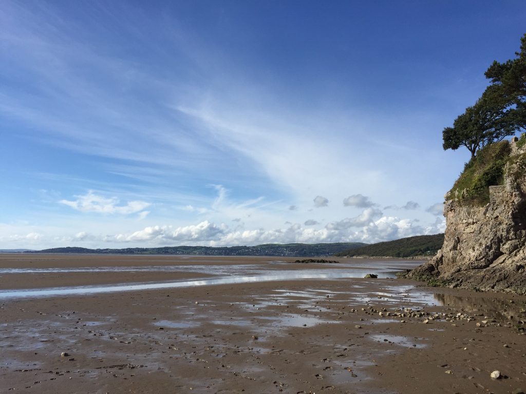
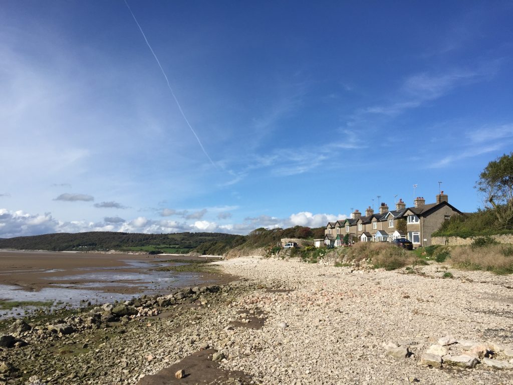
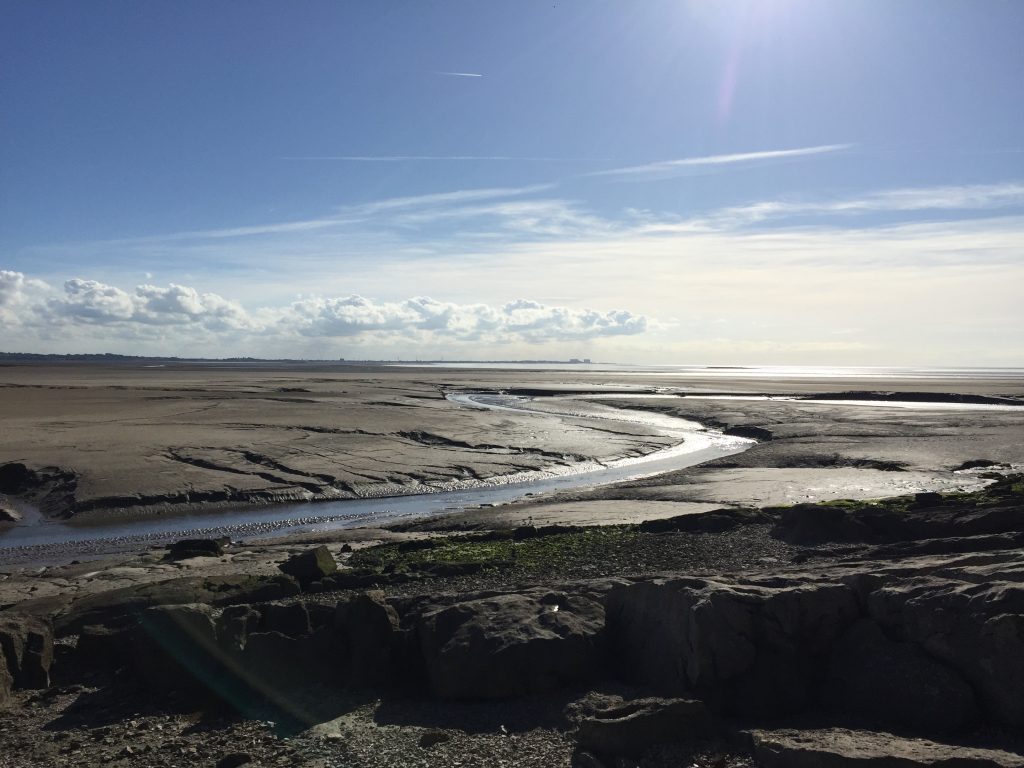
This small cove is called Silverdale Cove. From here you have the first views of the magnificent Morecambe Bay, with the town of Grange on the opposite coast to the right and Heysham Power stations to the left. The Cove also represents the start of the Lancashire Coastal Path, which we will be following for several miles over the next three stages. Just a couple of hundred metres north along the coast is the boundary with the county of Cumbria so this is the most north westerly point in Lancashire.
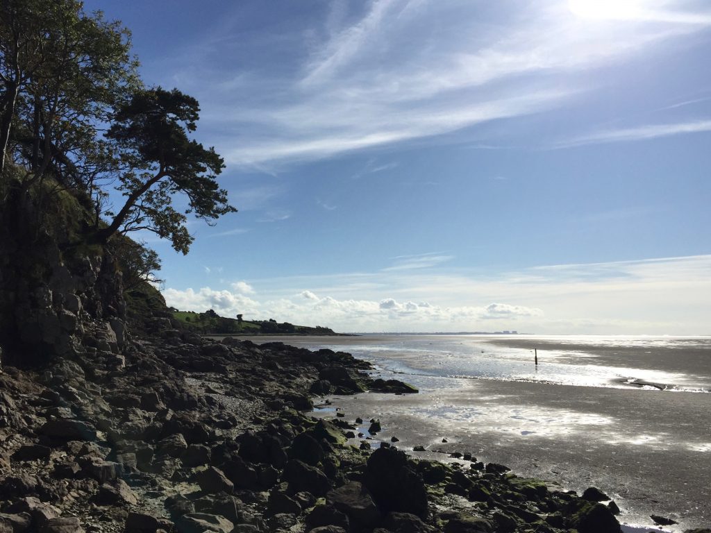
We will now head back into Silverdale. There are two options. The Way itself uses the seashore i.e. follows the Coastal Path if the tide is out. Please note that, even when the tide is out, the “sand” can be very muddy and sticks to your boots so it is best to cross using the rocks, which can be hard work though.
The alternative is not to descend to the shore but turn left and pick up the path that heads to the top of the cliffs and then heads through National Trust fields parallel to the shoreline. This comes out onto Stankelt Road in Silverdale a little up from the junction of Lindeth Road so you will need to turn right and then left on to Lindeth Road or continue on a little further to find the Silverdale Hotel.
Otherwise follow the coastline and after about 300 metres you will come to the Shore Cottages and a small car park. Exit the shore and pick up the road and follow it to the Silverdale Hotel. From the Silverdale Hotel, continue along Shore Road and then turn right into Lindeth Road.
Continue south along Lindeth Road until the road turns left into Hollins Lane. At this point bear right towards the farm known as Lindeth Lodge Farm, which also sells ice cream. The lane is also well signposted to Jenny Brown’s Point. On passing the farm note the tower in the garden. This is Lindeth Tower and is where Elizabeth Gaskell wrote her novel Ruth.
Follow the tarmacked lane south, which then comes down to the shoreline and ends at a property called Brown’s Houses. Further back is Jenny Brown’s Point, which can be found when the road began to bend around the headland. An alternative is to come off the tarmacked road when you see a path on your right signposted to Jack Scout. This heads via an impressive restored kiln to the cliffs, then along the cliffs and then back to the road, so gives great views.
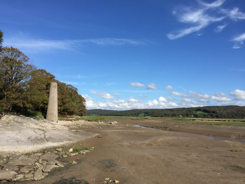
At Brown’s Houses the footpath descends to the seashore and continues around the headland. At this point there are the small remains of a chimney, which once was the site of a copper smelter.
Continue until you come to a four-way signpost. We will now turn right and cross over the stile onto Quaker’s Stang. Follow this flood embankment around to a grey stoned bridge. Use this to cross the river and exit onto a track near a car park. Turn left, cross under the railway bridge and head to the main road. Turn right and use the footpath to reach the junction at Crag Foot. Ignore the first track to the left and follow the road around a bend. The main road bears right and keeps at the same height but we need to bear left along Crag Road, which begins to head up the side of the hill towards Warton Crag.
Initially my route continued along Crag Road following the Lancashire Coastal Way to the coastline, which is marked by the River Keer near Carnforth. However, this misses both the great views from Warton Crag and the village of Warton itself. So another detour is required!
Thus after about 600 metres look out for the Bridleway on your left, which goes over the top of Warton Crag. It is a stony track sandwiched between properties – the first of which is called Greenacres. Follow the bridleway uphill for almost a kilometre. On your right you will see a gate with a stile to its side. Ignore this and continue on up for another 150m and you will find another gate on your right next to a wood store and a prominent new signpost directing you off the bridleway along a permissive path to the summit of Warton Crag.
Follow what is initially a small muddy track as far as a wide swing gate. Pass through the gate and then continue along the path, which runs ahead in a similar direction. Ignore the other path which bears right. The path meanders a little upwards though trees and then comes out into an area which has been cleared of trees. Continue southwards and ahead of you should be able to spot a beacon, which can hold a fire to signal across the area. To its left is a trig point – 163m in height.
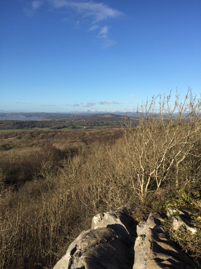
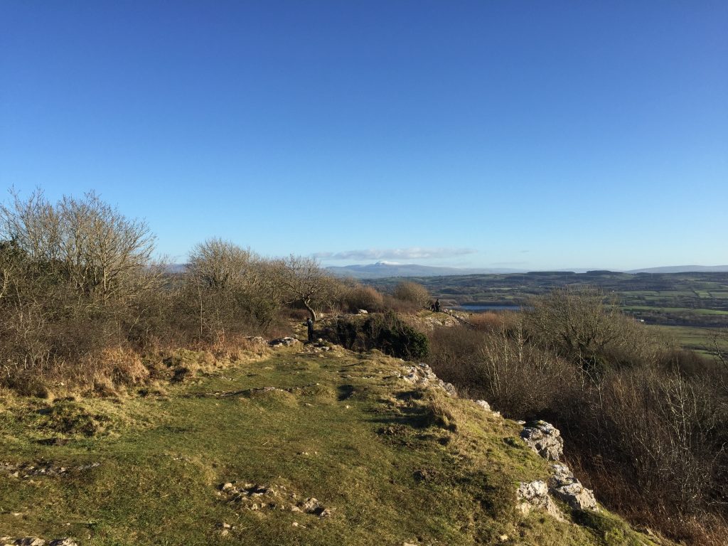
There are great views from here in a NE direction, when on a good day Ingleborough should be prominent on the horizon and to its left is Gragareth, with Leck Farm visible below the summit on the side of the hill. To get the best view you may have to descend the hill a little in a NE direction – there is a good path, which heads back to the bridleway.
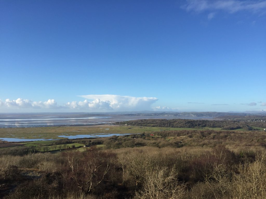
However, our route involves the return to trig point and beacon and we then head in a southerly direction again. But not too far as you will quickly find the edge of the limestone scar, with great views south and west across Morecambe Bay, including Grange-over-Sands and the peaks of the Lake District.
The views are great but standing by the trig point you would not realise that you were stood in the middle of an Iron Age hillfort, which was constructed and occupied between the 6th century BC and the mid first century AD. It is one of only about 100 in the whole of the UK and of just three in Lancashire. It occupies an area of about 3.2 hectares. Its location provides it with obvious defensive qualities to the south and west and there are man-made ramparts to the north and east, together with foundations of huts. However, to the untrained eye, including mine, these are not obvious. Try the link below to see a Lidar flyover of the site.
The path from the summit can be a little tricky both in terms of conditions and following it. It continues to head in a southerly direction crossing over and down a series of limestone ridges. You may have to scramble at times and on each flat section it is tempting to head west or east. But resist this and continue south until you reach the barbed wire fence. You have now reached the edge of a huge disused limestone quarry and have no option but to change direction. Turn left, pass through the gate and we will now follow one of the limestone ridges down the hill in an easterly direction for some time.
Eventually you will come to a stone wall. Turn right and follow the path down the slope to the road – Crag Road again! Turn left and follow the road down into the village of Warton. At the T-junction turn right, pass the George Washington pub and the Stage ends outside the Church on your right – St Oswald’s, the Martyr and King.
Warton is a village steeped in history and was mentioned in the Domesday Book written in 1086, but had probably been an important settlement for some time before this. Its importance as a staging post on the route north to Cumbria, the North East and Scotland can be seen by the grant of a charter for a Wednesday market, gallows and ordeal pit by King John in the 11th century. The village was created a borough in the 13th Century by the local Baron of Kendal.
This early history is evidenced by the ruined Rectory, which can be accessed on the opposite side of the road to the church. This is essentially a manor house and is maintained by English Heritage and dates back to the 13th Century. One of the gables is still almost complete at around 30ft high and you can access what was once the great hall and see the fireplace for the upper chamber halfway up the other gable.
The church probably dates back to before the rectory but the oldest remaining part is from the 14th century. It is a shame that it has all been covered in pebble dash presumably as protection from the winds and gales blowing off Morecambe Bay. Inside, however, the church is plain and simple but pretty.
Perhaps the most interesting historical fact is that Warton is the birthplace of the ancestors (seven generations earlier) of the first elected President of the United States of America, George Washington – hence the name of the pub next door. Inside the church there is a stars and stripes flag, which apparently flies on the church flagpole every 4th July. The story goes that the American flag has its origin in the Washington crest, a much-eroded stone which is now kept inside the church tower. This in heraldic terms consisted of three mullets in chief and two bars but to me and you, three stars and two stripes!
Warton’s pre-eminence in the area waned as the railways saw Carnforth become the predominant town in the area.
END OF STAGE 40
The George Washington pub has rooms and is ideally located at the very end of the Stage. Alternatively you can start the next stage and when you join the Shore Road, rather than turn right and head south to Morecambe you can turn left and walk into Carnforth, which has the Royal Station Hotel.
Click here to go directly to Stage 41 – the next Stage on the Lancashire Way
CIRCULAR/DAY WALKS
Combine with Stages 38 and 39 to create a great walk of just over 14 miles plus another 3 miles or so back to Over Kellet. Again this final section is not great but again it is probably best to take the route via Pine Lake, the Keer River and then Kellet Lane back into Over Kellet.
Alternatively head north at the end of Stage 40 on the road back to Yealand Conyers. Then complete Stage 39 potentially missing off the final part to the Cove.

