STAGE 56 – HASLINGDEN GRANE TO RISING BRIDGE, ACCRINGTON
3.5 miles – 1.5 hours walk.
366 feet climbed – highest point 1,064 feet -Copy Farm above Haslingden and below Thirteen Stone Hill.
Another modest stage but only eleven miles left when you finish but descent views across the valley and substantial evidence of quarrying.
The map of Stage 56 can be found below courtesy of Ordnance Survey maps. You can subscribe yourself using this link, https://osmaps.ordnancesurvey.co.uk, which will enable you to import the GPX file which can be downloaded below. There is a small annual charge of around £30.
Download file for GPS
To download the GPX file for this stage click on the link above.
Cross the road – CAREFUL busy and fast traffic here – turn right and find the path on your left after about 15m. Cross over the stile into the field. Bear right over a small footbridge and on to a stony path.
If you are in need of refreshments or toilets then turn left and head to the visitor centre and car park that is called Clough Head.
Otherwise turn right and follow the stony path through two metal gate stiles . Turn left and follow the concessionary path up the slope with a huge quarry on right and a wood on your left. Look out for the information board on your left.
Continue up the slope to some substantial trees. Turn right on to the Rossendale Way. We will now follow the Rossendale way for around 8 miles, with one small detour. Follow the fence along the side of quarry.
The sheer size of the quarry shows how important quarrying for sandstone has been in this area. Across the valley is Musberry Heights, which we missed but is another well know quarrying area. The quarry just below is Jamestone Quarry. Quarrying became a major industry in the Industrial revolution providing stone for mills, housing and walls. With the arrival of the railways in Rossendale in 1846, quarrying expanded and for 60 years it was a major employer in the valley, with 3000 people working at its peak. There were numerous tramways that shipped the stone off the hills, similar to that which we saw above Rawtenstall on Cowpe Moss.
The path then descends into valley over a footbridge and up other side. Then follow the edge of further quarry and then turn left and then right. Continue following the path, which again turns left the right at two trees. Pass through the stile gate and carry straight on for about a km until you reach Windy Harbour Farm.
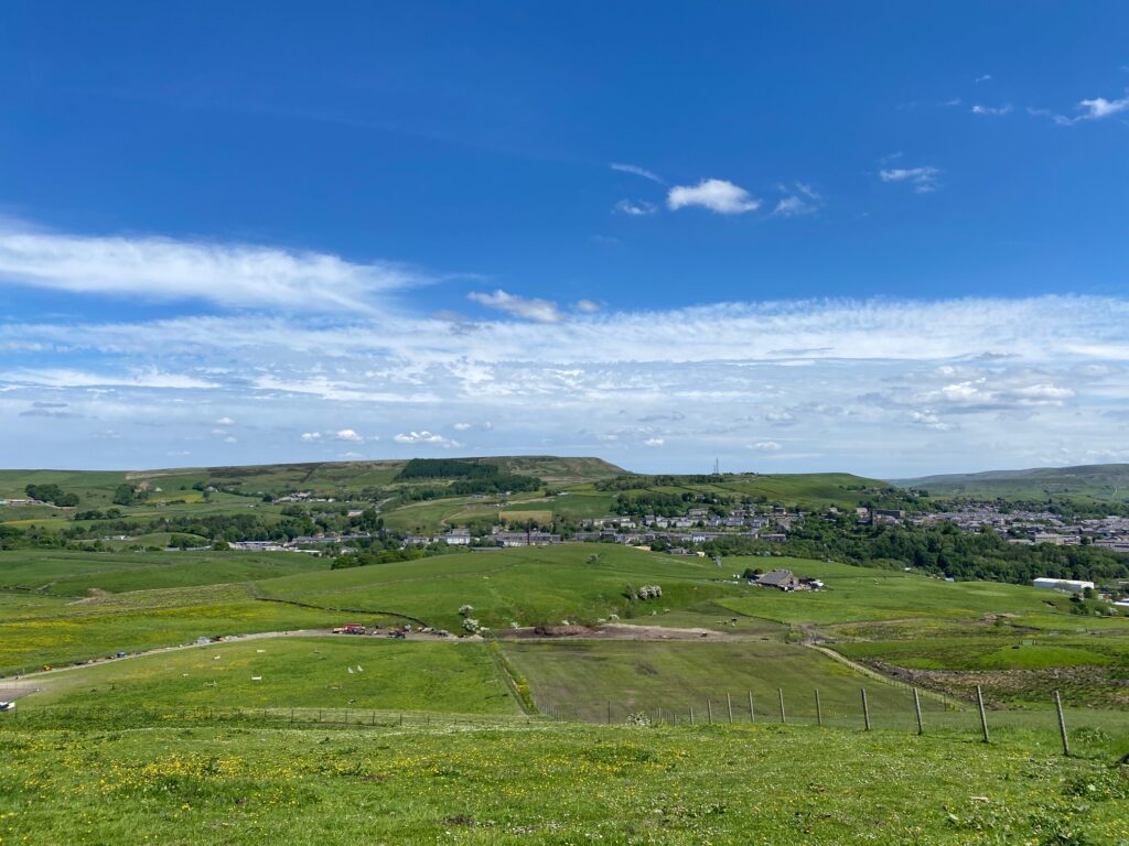
Ahead of you is a gate, which gives access to farm yard and buildings. Turn left at this point and cross through a makeshift gate and carry on in same direction but outside the farm boundary. Pass a marker post then carry straight on to telegraph pole and then through a gap in wall and on to next telegraph post. Ahead is the town of Haslingden, with Cribden Hill on the other side of the valley. If you look carefully, you can see the Halo part way up the hill below the summit, which is another of Panopticons – you may recall the “Atom” at Wycoller and we will short see the Singing Ringing Tree.
We now head around the side of the hill and north up the side of the valley. Drop to grassy track before a third telegraph pole and then turn left and head up the steep grassy track. At the top you will reach a stile next to metal gate. Cross over on to half grassy track and carry straight on. Then join stony track and carry straight on. Keep on this travelling in roughly the same northerly direction until you come to a cattlegrid. Join a tarmac lane and follow to a main road.
Cross the road (B6236), turn right and then left into Roundhill Lane. Follow the lane to a T junction. Turn left and follow to a main road – the A680 in the centre of Rising Bridge. Just on the left hand corner of the junction with the main road is a general stores for refreshments.
END OF STAGE 56
Click here to go directly to Stage 57
Rising Bridge is on a bus route, which will take you into Accrington just a few miles away. Accrington has accommodation options including the OYO hotel. Accrington is also on a railway line, which gives access to alternative accommodation.
CIRCULAR/DAY WALKS


