STAGE 65 (W6) – BILSBORROW TO BEACON FELL
5 miles – 2 hours walk
798 feet climbed – highest point 750 feet – Beacon Fell
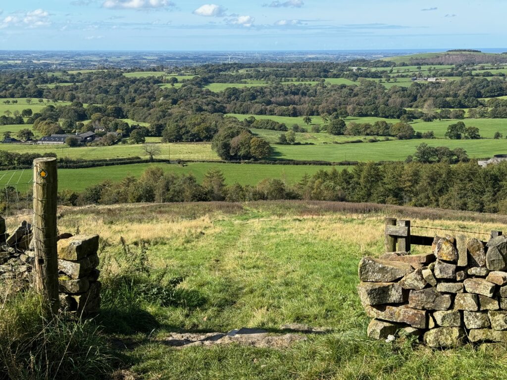
A cracking stage beginning with a walk up the beautiful Brock valley with lovely fields and woods and ending with a climb up to the Visitor Centre on Beacon Fell. Great views west across the Fylde and at last a hill!
A map of Stage 65 can be found below courtesy of Ordnance Survey maps. You can subscribe yourself using this link, https://osmaps.ordnancesurvey.co.uk, which will enable you to import the GPX file which can be downloaded below.
To download the GPX file for this stage click on the link above.
Cross the road and head north up the main road, the A6. Pass over a bridge, under which the River Brock flows. You will then come to a garage and if you look to your right beyond the cars that are for sale on the forecourt, you will see a large green pedestrian bridge, which we will use to cross the West Coast Main Line railway. It’s not obvious how you get to it! There is a finger footpath signpost as there is a public right of way through the forecourt to the bridge. Find the signpost which is at the start of a road to the side of the showroom that heads to the back of the forecourt and from here you should be able to access the footbridge.
Cross over the footbridge. At the bottom turn right and follow the path which passes the remains of a railway station and then bends around to the right and then turns left and joins a track which starts our journey up the River Brock. Do not use the footbridge near the railway bridge to cross the river – stay on the northern side.
Cross under the M6 and shortly afterwards look out for a footbridge on your right. Do use this to cross to the other side of the river. Come off the bridge and then turn left and follow the lane to a road with a bridge over the river. Cross the road and look for the gap in a stone wall marked by a wooden fingerpost sign to the left of a private drive. Follow the path down to the river and around the properties called Brock Side. Sometimes you feel as if you are in someone’s very well-manicured garden but just continue straight on through keeping the river on your left.
Exit the gardens via a stile into a field. Follow the path around the left-hand side of the field. Pass through the gate and then head straight on to another gate and then on to a road and a bridge, Walmsley, which crosses the river.
Use the road and bridge to cross the river again and then take the footpath immediately on your right marked by a fingerpost. Head through various fields keeping the river to your right. It’s not always easy to know exactly the route of the path but just keep heading upstream keeping the woods to your left and the river to your right. After about a kilometre, you will come to gate and a track which is the point at which you enter the woods. Follow the decent path through the woods for another kilometre or so to the car park at the Higher Brock Bridge. Ignore any paths which may tempt you across the river or left and away from the river.
Exit the car park onto the road. Turn right and use the road bridge to cross the river. We now say goodbye to the River Brock. I hope you agree that the walk up the valley is one of the very best river walks.
After having crossed the river, turn right and follow the road up the steep hill and then continue along until you come to a T junction. Turn right and almost immediately on the opposite side, you will see a footpath fingerpost sign and stile. Use this to enter the field. Head straight on across the field to the woods opposite. Look out for the entrance to the woods. Bear right and head up the steep slope through the woods. Exit the woods and continue up the slope past several memorial trees to the road. Do make sure you turn around and take in the view – it is a great one including those north to the edge of the Bowland Fells and you will need a rest after this climb.
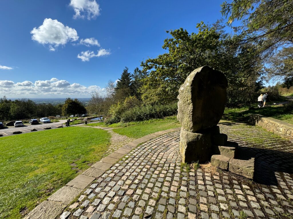
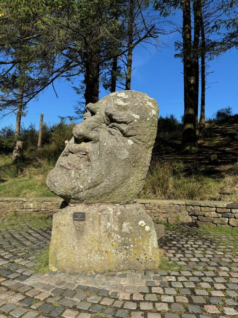
Cross the road and take the path opposite, which brings you out at the “Ogre” above the Visitor Centre. Descend to the Visitor Centre, which marks the end of the stage.
END OF STAGE
Click here to go straight to Stage 66 (W7)
The Visitor Centre is a good place to obtain refreshments and there are toilets.
Beacon Fell, due to its location and height, has provided a great vantage point throughout history. In 1588, a beacon on the fell was part of a chain that warned England of the approaching Spanish Armada. More recently beacons have celebrated coronations and jubilees.
In 1909 the area provided water to Fulwood in Preston but when this ceased the area began to languish until in 1969 Lancashire County Council purchased the area and put in roads, parking areas and the Visitor Centre. There are several sculptures across the park but not all are easy to find. All have been created by local artist Thompson Dagnall.
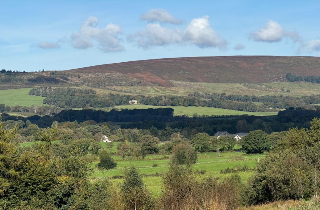
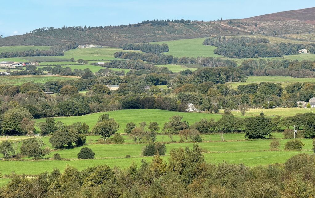
At just 873 feet, this outlier of the Bowland Fells is a modest little hill but it gives great panoramic views across this part of Lancashire – see the photos.
Unfortunately, there are no bus services so if this Stage marks the end of a day’s walk for you, then you will have to organise a taxi or a lift by a friend or family. Alternatively continue on to Garstang!

