STAGE 66 (W7) – BEACON FELL TO CALDER VALE
6.5 miles – 2.75 hours walk
595 feet climbed – highest point 873 feet – Beacon Fell
Another excellent stage including the summit of Beacon Fell, the enchanting area of Bleasdale and the village of Calder Vale in its deep valley.
A map of Stage 66 can be found below courtesy of Ordnance Survey maps. You can subscribe yourself using this link, https://osmaps.ordnancesurvey.co.uk, which will enable you to import the GPX file which can be downloaded below.
Download file for GPS
To download the GPX file for this stage click on the link above.
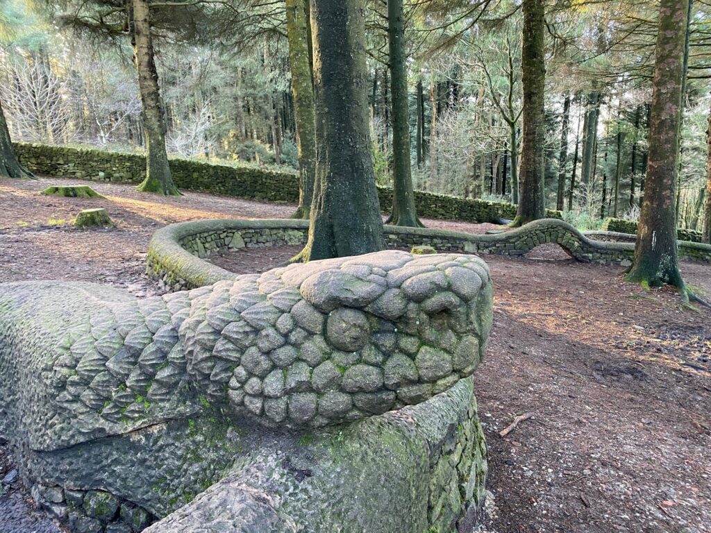
From the Visitor Centre head out across the car park in the same direction (SE) as we came in and find the cobbled path at the end. Climb up the slope along this cobbled path. Look out for the end of a snake’s tail on your left, which is another of the sculptures. It is worth briefly crossing over the wall to see the rest of the snake.
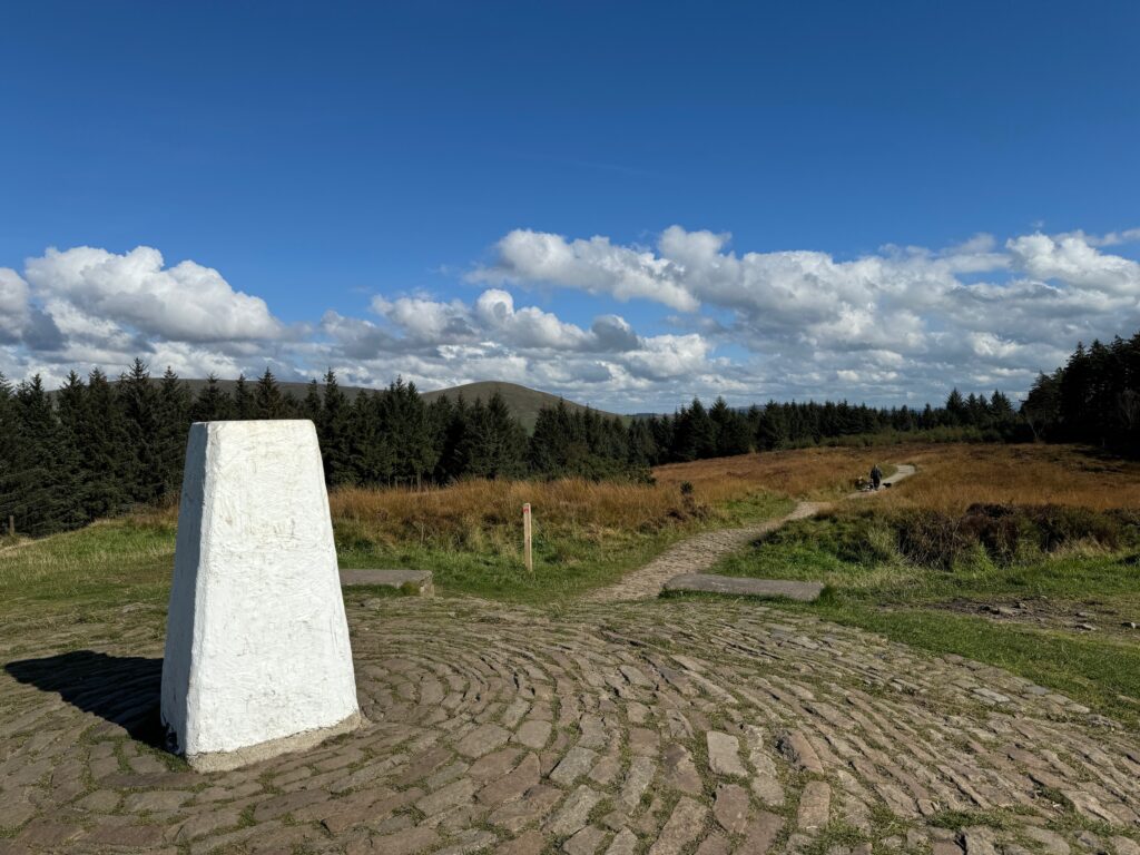
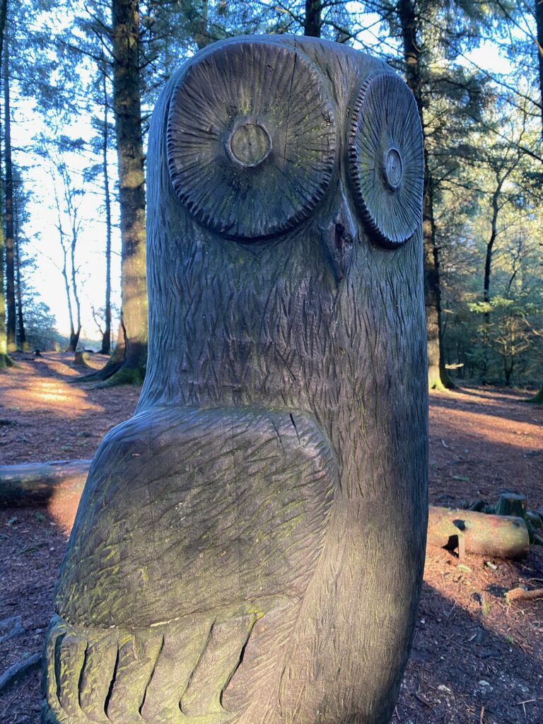
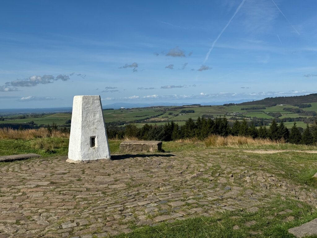
Continue up the cobbled path which then becomes a gravel path and then turn left and follow this up the hill to the trig point and the top of Beacon Fell. Just before the summit, where the path swings left, there is another of the sculptures on your right in amongst some trees – it is a large wooden owl.
From the trig point head in an easterly direction. It is the path on your right when you approached the trig point and should be marked by a RED trail sign marker. Follow this path which bears left and down a hill to join another path. Turn right and follow the red trail around the side of the hill. Look out for a road and car park on your left and at this point leave the red trail and descend to the road. Pick up the road and use this to exit the Country Park.
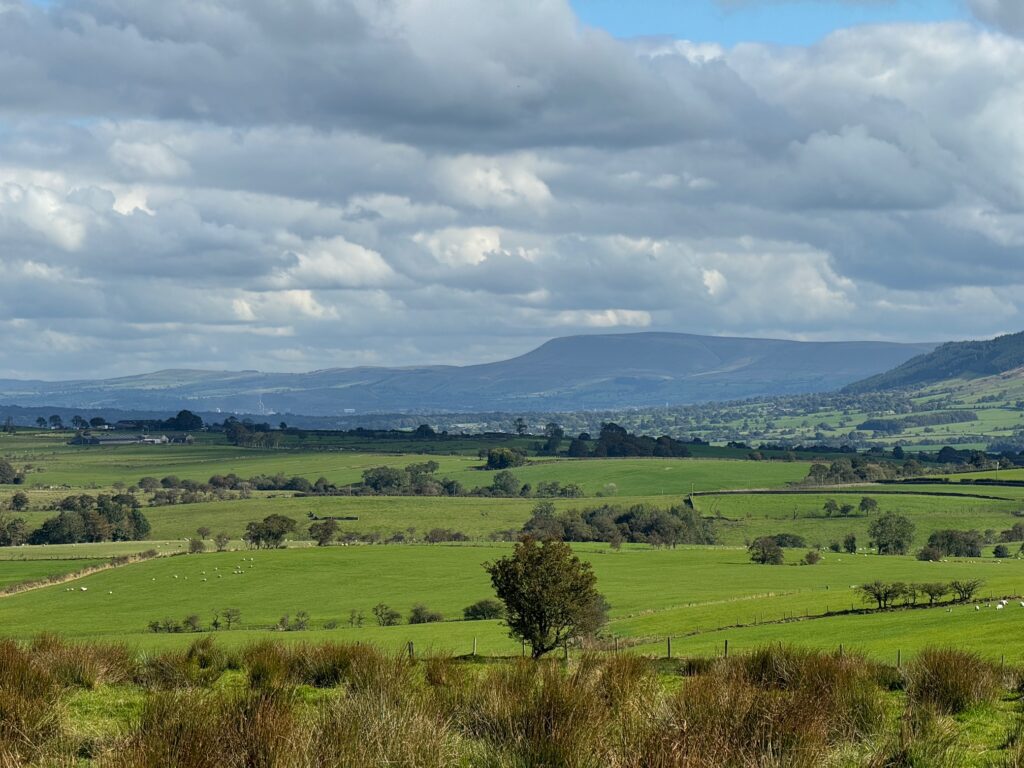
At the road turn left and then turn right into another road. Look out for a stile and footpath sign on your left up the grassy bank. Cross into the field and bear right/diagonally across the field. There were quicker routes to Bleasdale from Beacon Fell but I particularly like the view from this spot. You can see down into the Ribble Valley with Longridge Fell and Pendle Hill in the distance – hopefully fond memories of the Central Loop.
When you come to the corner of the field cross into the next field, turn left and follow the boundary fence downhill. Look out for the gate, stile and faint track on your left before the bottom of the hill. Turn left, cross over the stile and head down the track to the farm called Broadhead. Pass through the gate and turn left and use the track to the farm to head away from the farm towards various properties including Sagar’s Farm. Turn right just after this and join the better track that serves these properties. Head to the main road. Turn right and follow the road to the junction with another road. Turn left and follow the road down to Higher Brock Mill.
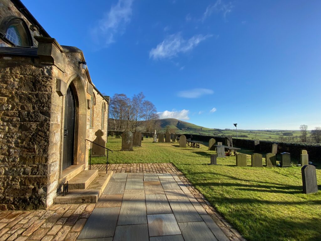
Cross over the bridge and then take the private road on your right. Follow this to the old school on your left and then on further to the car park of St Eadmer’s Church.
It is a pretty church with great views up to Parlick, which is just above the village of Chipping on the Central Loop.
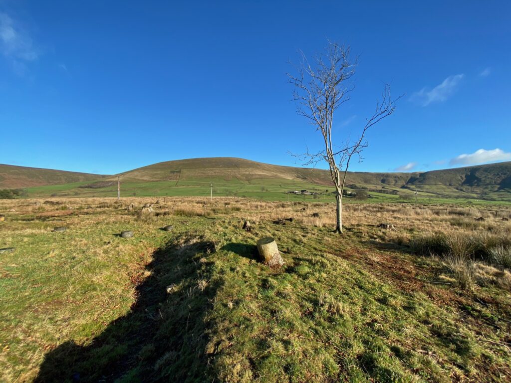
You now have a choice. The official route makes a detour to the Bleasdale Circle but it is not as impressive as it may sound and these days all the trees have been removed so it is easier to see the structure, but it feels like a bare wasteland. However, there are very few surviving prehistoric relics in Lancashire, so it would seem wrong to miss it especially as we are so close by. Hopefully, I have not put you off but if I have and you have still far to go then turn left at this point and head past Admarsh Barn in a westerly direction – see below.
To visit the Circle continue up the lane towards Vicarage Farm. Pass over the cattlegrid and when you come to the drive into the farm on your left, look out for the gate on your right which marks the start of the concessionary path to the circle. Follow this to and back from the Circle.
The Bleasdale Circle was discovered in 1898. It is a “henge” dating back to early Bronze Age – 2,000 to 1,500 BC. The following extracts describe the site very well.
“The site consisted of a small barrow beneath which was a grave containing two cremations in collared urns and an incense cup. The structure was surrounded by a ring of eleven posts (now marked by concrete pillars) with outliers forming an entrance on the E, and these in turn were bounded by a ditch. This group was surrounded by a timber palisade (not visible on the ground) 150 ft in diameter, with an entrance on the SW”. Nikolaus Pevsner.
“The spectacular discovery of the Bleasdale Circle was made during excavations on land belonging to Fairsnape Farm at the end of last century. Cinerary urns, containing human ashes, were discovered two feet below ground. The pottery was identified by archaeologists as belonging to the Middle Bronze Age (2,500-750 B.C.). The Circle was probably connected with some primitive form of worship in which the rising sun was part of the ritual.” – Kathleen Eyre.
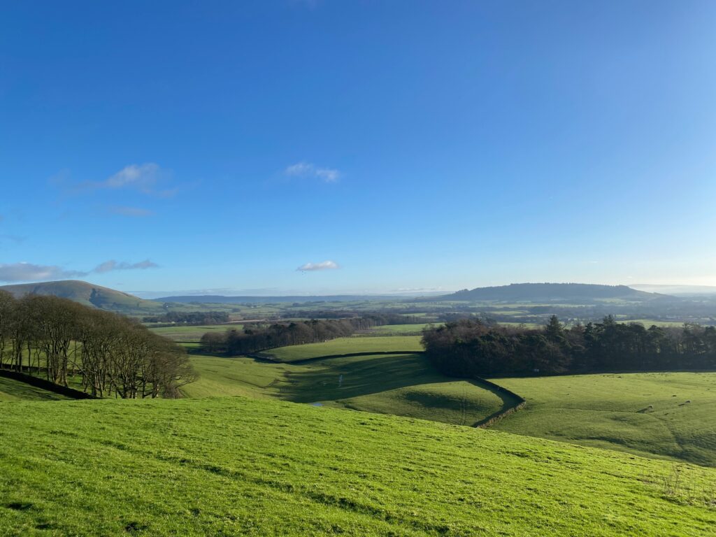
Walk back down the lane towards the church car park. Just after passing the entrance to Admarch Barn, turn right and use the large metal gate to access the field. The path is not clear but walk straight on along the perimeter of the Barn and then turn right into the next field. Turn left and then walk straight on in a westerly direction following the remains of a boundary towards a small wood in the distance. At the woods cross through the gate and pick up a track which takes you on to a road. Turn right and follow this road for about 1.5 miles. Look out for the packhorse bridge on your right just before the large farm called Brooks. Keep on this road past various properties including the pretty house called Bleasdale Tower with lovely gardens, which unfortunately you can only catch glimpses of from the road. Eventually, you come to the gate at Stang Yule. On this section there are great views to your left back to Beacon Fell.
Pass through the gate and bear left past the property to a main road. Turn left and then almost immediately right by taking the drive to the two properties down the hill. Turn left over a stile just before the properties. Bear right and pass through a stile into the next field. Bear right again shortly after and follow the wall down the slope to another stile. Cross into the next field and then head down to the left of two properties. Cross through the stile gate on to a track. Turn right and follow the track/lane past the two properties. Turn left on to a road and follow down to a church and school – Calder Vale St John’s CofE.
The public right of way goes through the school playground and then into the church grounds. There is a gate that gives access into the playground and another to exit. If children are playing make your intentions to cross clear to a supervising adult. Cross to the other side of the church grounds and find a gate which exits onto a proper path which heads downhill through the woods into the valley itself.
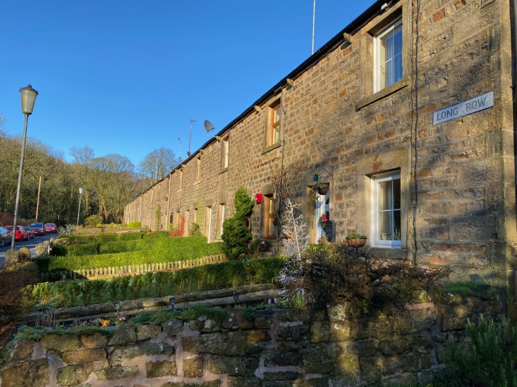
Continue along the river, passing various ponds, to a road at the end of a row of cottages called Long Row. Pass along the front of the cottages and down to the bridge over the river, which is the end of the Stage.
END OF STAGE
Click here to go straight to Stage 67 (W8)
Calder Vale is a small village dominated by the River Calder and its steep valley. There is only one road in and out. Calder derives from the Norse word meaning cold! The village was founded by two Quakers, Jonathan and Richard Jackson. In 1835 a cotton weaving mill, Lappett Mill, was built, powered by the river. It is still a weaving mill specialising in Arab headscarves. There is also a Methodist Chapel and Village Hall and all three can be clearly seen from the bridge at the end of the Stage.

